NASA Earth Observatory - Home (original) (raw)
Image of the Day Nov 11, 2024

The Glade of the Armistice
Veterans Day falls on November 11 because of a World War I armistice signed in the Forest of Compiégne in France in 1918.
Global Maps Jul 2002 — Sep 2024
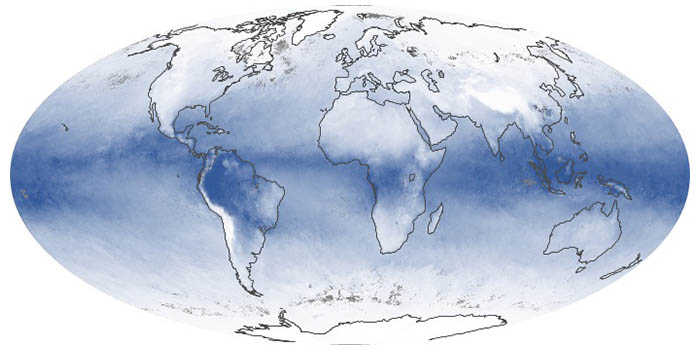
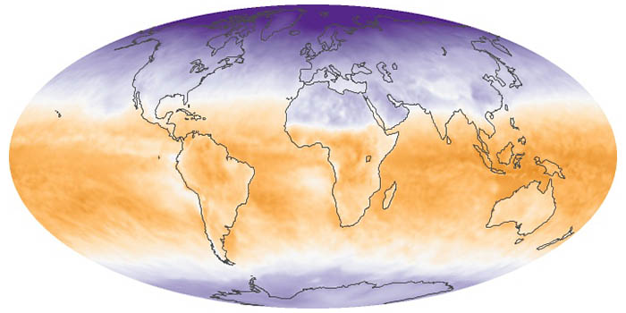
Water Vapor
These maps show the average amount of water vapor in a column of atmosphere by month. Water vapor is the key precursor for rain and snow and one of the most important greenhouse gases in the atmosphere.
Global Maps Feb 2000 — Sep 2024
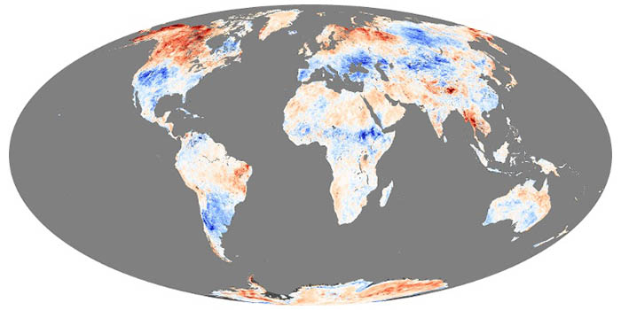
Land Surface Temperature Anomaly
These maps depict anomalies in land surface temperatures (LSTs); that is, how much hotter or cooler a region was compared to the long-term average. LST anomalies can indicate heat waves or cold spells.
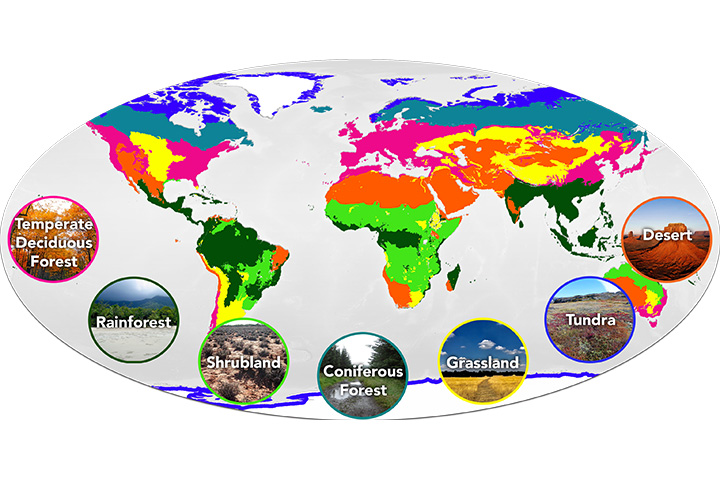
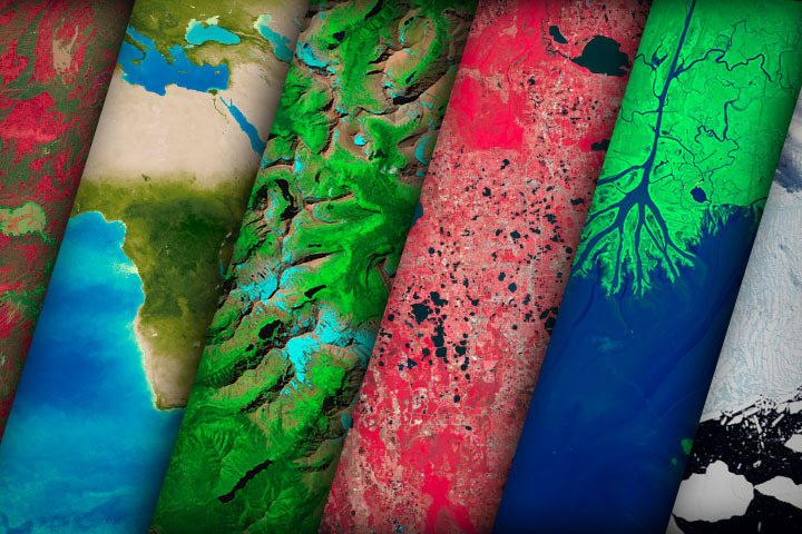
Mission: Biomes
Have you ever wondered what it would be like to live in a different part of the world? What would the weather be like? What kinds of animals would you see? Which plants live there? By investigating these questions, you are learning about biomes.
Published Aug 28, 2020
Global Maps Mar 2000 — Sep 2024
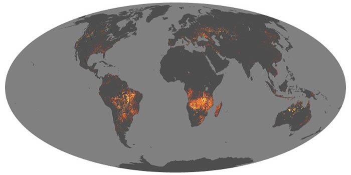
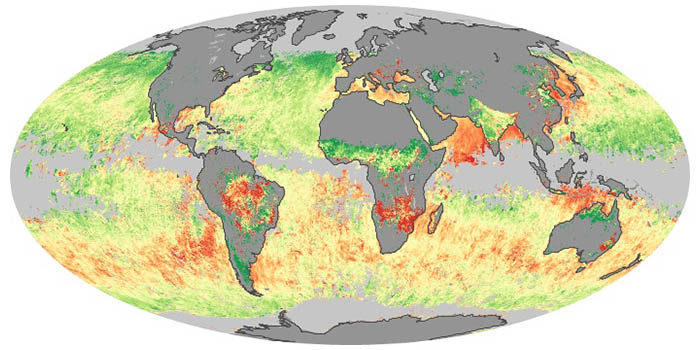
Fire
Whether started by humans (farming, logging, or accidents) or by nature (lightning), fires are always burning somewhere on Earth. These maps show the locations of fires burning around the world each month.
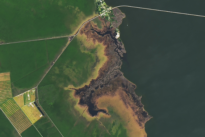
October Puzzler
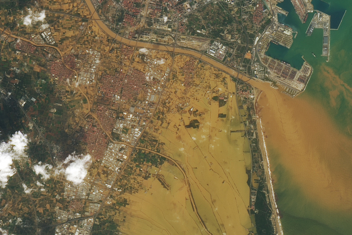
Your challenge is to tell us the location of the satellite image and why it is interesting.
Published Oct 22, 2024
Global Maps Feb 2000 — Sep 2024
Vegetation
Greenness is an important indicator of health for forests, grasslands, and farms. The greenness of a landscape, or vegetation index, depends on the number and type of plants, how leafy they are, and how healthy they are.
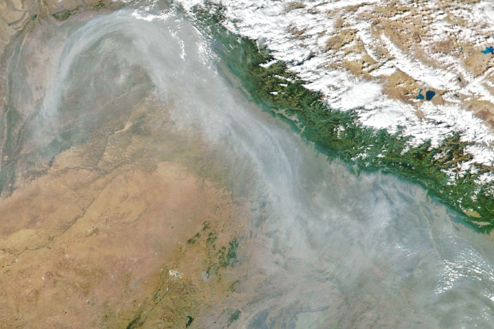
Air Quality
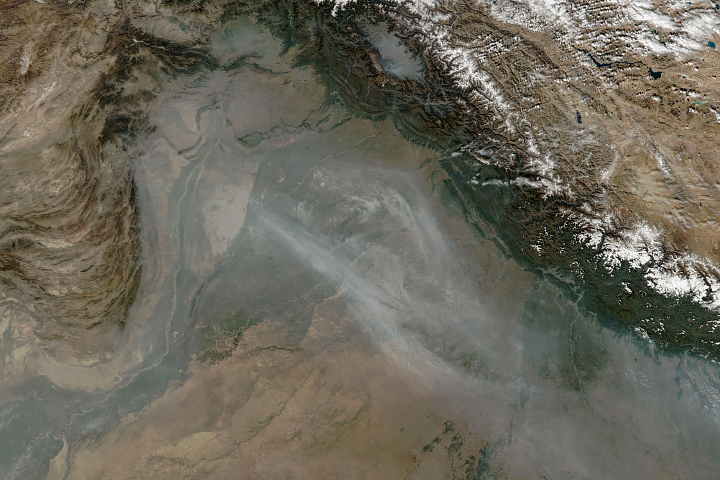
From ground-level ozone to particulate matter to nitrogen dioxide, an array of gasses and particles can affect the air people breathe, with implications for human health.
Published Apr 8, 2024
Global Maps Jul 2006 — Mar 2024
Net Radiation
Net radiation is the balance between incoming and outgoing energy at the top of the atmosphere. It is the total energy available to influence climate after light and heat are reflected, absorbed, or emitted by clouds and land.
Global Maps Jan 2005 — Sep 2016
Aerosol Size
Sea salt, volcanic ash, dust, wildfire smoke, and industrial pollution are types of airborne aerosols. Natural aerosols tend to be larger than human-made aerosols. These maps show when and where aerosols come from nature, humans, or both.
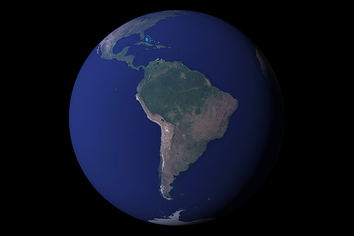
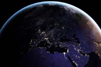
Earth at Night
Satellite images of Earth at night have been a curiosity for the public and a tool of fundamental research for at least 25 years. They have provided a broad, beautiful picture, showing how humans have shaped the planet and lit up the darkness.
Published Apr 12, 2017
Atmosphere Land Human Presence Remote Sensing
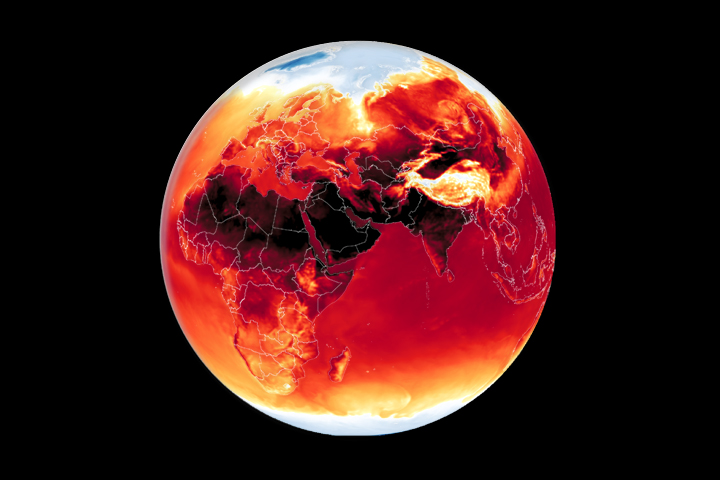
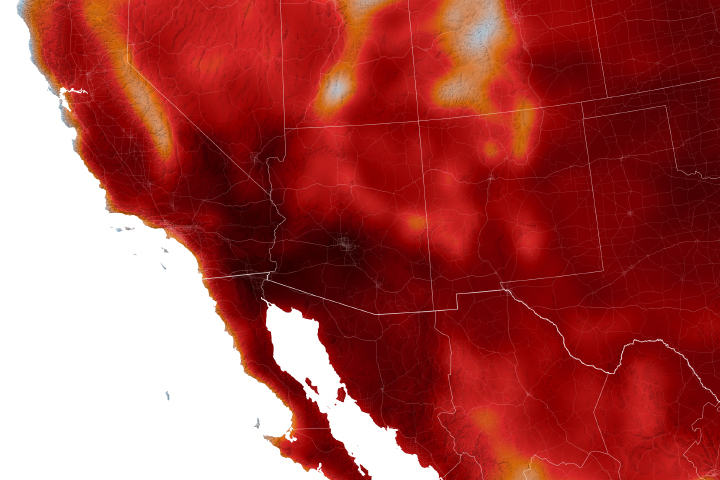
Temperature Extremes 2024
Warmer-than-average temperatures are showing up locally and globally, with consequences for people, landscapes, and ecosystems.
Published Mar 26, 2024
Temperature Extremes 2023
Warmer-than-average temperatures are showing up locally and globally, with consequences for people, landscapes, and ecosystems.
Published Aug 15, 2023

