End of US highway 64 (original) (raw)
 Summa Summa |
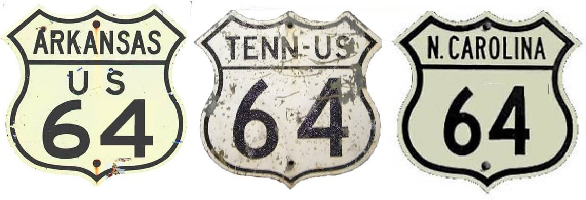 Summa Summa |
|---|
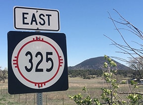
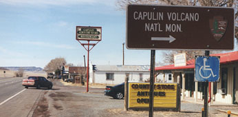
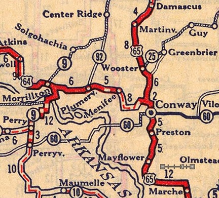
| 1926-1929East: Conway, ARWest: Capulin, NM | | | | | ------------------------------------------------------ | | | |
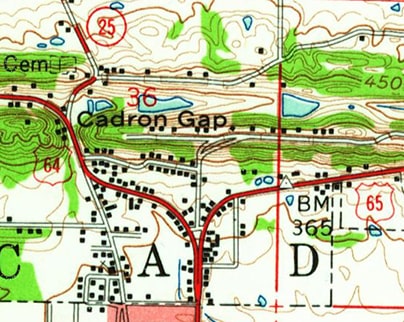
Mileage: US 64 started out as a relatively short road, running through the midsection of the country. But it was quickly extended in both directions, and it soon became a highway of significant length: today US 64 is among the longest US routes. In 1989 AASHTO listed a figure of 2381 miles for US 64... however, that included the mileage of US 64's associated business/bypass/alternate routes. According to the state subtotals on AASHTO's 1989 spreadsheet, mainline US 64's actual end-to-end total at the time was 2326 miles. That closely matches our own 2020 measurement, which yielded 2332.9 miles (reroutings and realignments likely explain the difference). Interestingly, Conway AR -- which was originally the highway's eastern terminus -- is now the midway point of the route.
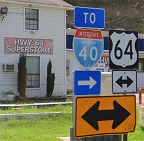
| Since US 64 comes into Conway from the west via Old Morrilton Highway, it originally junctioned US 65 at the north end of Washington Avenue. This was near today's junction with Old Hwy 25, although the alignments in that area changed a bit when I-40 was built just to the north. This interactive image is looking east on US 64; Old Hwy. 25 begins to the left (it goes under I-40, the embankment for which is visible at left): | | | ------------------------------------------------------------------------------------------------------------------------------------------------------------------------------------------------------------------------------------------------------------------------------------------------------------------------------------------------------------------------------------------------------------------------------------------- | |
| That arrangement did not last long; within a few years after US 64 was commissioned, it had been significantly extended to the east, with temporary endpoints in Marion and Chattanooga. By 1933 the US 64 designation terminated in Ft. Landing NC, where it remained for almost the next 20 years: | 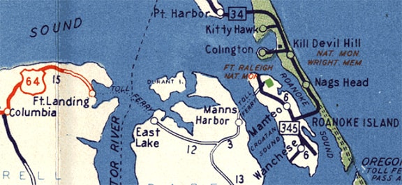 |
|---|
| This photo shows the historic east end of US 64: | 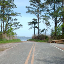 Roberson, Apr. 2008 Roberson, Apr. 2008 |
In 1951 a ferry was established at Sandy Point (to the south of Ft. Landing, across the Little Alligator River, where US 64 runs today). The ferry went across the Alligator to East Lake. The US 64 designation was extended east via this ferry, and then on to its current terminus at the Atlantic Ocean. This occurs at a place known as Whalebone Junction, on the Outer Banks (photos and more info on the Nags Head page). |
|---|
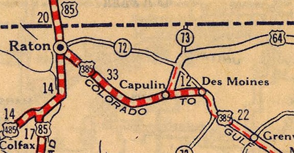
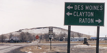
For a couple years, US 64 was overlapped west from Capulin with US 385, where those two routes shared a common terminus in Raton. Then, for the next several years, the west end of US 64 was in a city it no longer even serves: Santa Fe. At Taos, instead of heading up to Tres Piedras, US 64 was routed down modern NM 68, to its junction with US 84-285 near Espanola. South from there, it overlapped with those two highways down to Santa Fe. That changed in 1972, when a new road allowed travelers to get from Tres Piedras over to US 84 at Tierra Amarilla. Following is an excerpt from the minutes of AASHO's Nov. 1972 meeting:

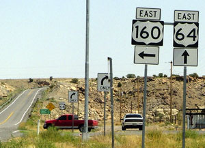
| So US 64 was truncated at Taos, and instead changed to its modern route to Farmington (its path from Chama through Dulce and Bloomfield was previously designated NM 17).In 1989, the US 64 designation was extended west of Farmington. It swallowed up what had been US 550 from there to Shiprock, and it continues further west, to the junction with US 160 near Teec Nos Pos AZ. This photo was facing south on westbound US 160, which continues to the right (those are the Carrizo Mountains in the distance): | 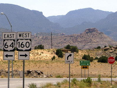 Sanderson, July 2004 Sanderson, July 2004 |
|---|
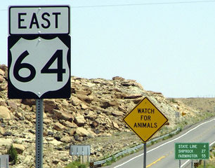
| The first item on the mileage sign says "State Line: 4". It seems odd when boundaries are used as control points: is there anyone for whom the state line is actually their destination? Anyway, here is a view from the opposite direction (westbound): | 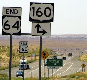 Sanderson, July 2004 Sanderson, July 2004 |
This is a situation that cries out for renumbering. AZDoT should get AASHTO's approval to change the designations such that -- instead of US 64 ending at this junction -- it would be US 160 that ends here, and US 64 would continue ahead (read more here). |
|---|
Stephens, Sep. 2019
Research and/or photo credits: Jeremy Lance; Steven Nelson; Mike Roberson; Dale Sanderson; Forrest Sanderson; Shayne Stephens; Michael Summa
Page originally created 1999; last updated Dec. 17, 2023.
