End of US highway 72 (original) (raw)
| 1926-1931East: Kimball, TNWest: Bartlett, TN | 1931-1934East: Kimball, TNWest: Selmer, TN | | | -------------------------------------------------------- | ------------------------------------------------------ | |
 Summa Summa |
Mileage: in 1989 AASHTO listed a figure of 397 miles for US 72... however, that included the mileage of US 72's associated business/alternate routes. According to the state subtotals on AASHTO's 1989 spreadsheet, mainline US 72's actual end-to-end total at the time was 320 miles. That closely matches our own 2020 measurement, which yielded 318.0 miles. |
|---|
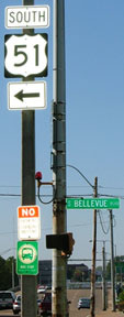
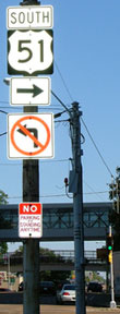
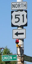
That was once southbound US 41, which continued to the left, towards Jasper on what today is US 64-72. But originally US 72 began to the right. Although US 72 had essentially the same termini as it does today, its route was different. From Kimball US 72 followed its current route through northern Alabama, but at Corinth MS it went north with US 45 to Selmer TN. Then it continued west on modern US 64, ending at US 70 in Bartlett (just outside Memphis).
| Originally that was southbound US 45 / eastbound US 72. The two routes split at that fork, with US 72 following Poplar Avenue to the left, and US 45 taking Mulberry Street to the right. But in 1931, US 64 was extended through there, so US 72 was truncated in order to avoid a long duplex between there and Memphis. So after that time, it was US 64 that followed Poplar to the left. To the right was still US 45, but also the east beginning of US 72. In 1934, the east end of US 72 was extended to its current terminus in Chattanooga. And that same year, US 72 was truncated at Corinth MS and instead extended west via its modern corridor back into Memphis. However, unlike most US routes in the '30s, US 72 did not go all the way into downtown Memphis. Rather, it ended at East Parkway, where Poplar Avenue had a junction with US 64-70 (and later US 79): |  c. 1930, TNDoT c. 1930, TNDoT |
|---|
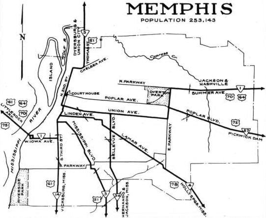 c. 1938, TNDoT c. 1938, TNDoT |
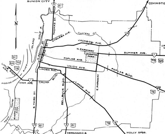 c. 1951, TNDoT c. 1951, TNDoT |
|---|
One could certainly interpret those maps to suggest the possibility that US 72 actually went all the way downtown, overlapped with US 64-70. But this historic photo was taken looking west on Poplar at the East Pkwy intersection; across the street on the right hand side is a sign for Overton Park:
(date and attribution unknown; linked to source)
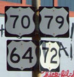
| If we take a closer look at the route shields shown there, we can see that US 72 was signed only to the east along Poplar. To the south on East Pkwy was signed only as US 64-70; the following details show the signs visible in the photo above from left to right: | That was the case until about 1958. Around that time, US 72 traffic was directed to turn off Poplar onto the then-new Union Avenue extension. But US 72 still ended at its junction with East Pkwy. That was the arrangement at the time of a 1960 photo, the signs in which are shown in the details below. US 72 began straight ahead on Union, while US 64-70-79 continued by turning north on East Pkwy: 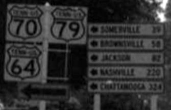 c. 1960 (detail; linked to source) c. 1960 (detail; linked to source) 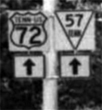 c. 1960 (detail) It should be noted that, even though US 72 officially ended on the east side of town, there was a time period during which it was signposted all the way to the Mississippi River crossing. This photo shows a US 72 shield on Crump Boulevard at Riverside Drive. And here is another example; this was looking north on 3rd Street at Linden Avenue (now MLK)... c. 1960 (detail) It should be noted that, even though US 72 officially ended on the east side of town, there was a time period during which it was signposted all the way to the Mississippi River crossing. This photo shows a US 72 shield on Crump Boulevard at Riverside Drive. And here is another example; this was looking north on 3rd Street at Linden Avenue (now MLK)... 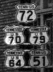 c. 1960 (linked to source) c. 1960 (linked to source) |
|---|
Research and/or photo credits: Nathan Edgars; Adam Froehlig; Karin and Martin Karner; Richard Montgomery; Kevin Redding; Mike Roberson; Dale Sanderson; Michael Summa; Ed Wilson; "CDog420"
Page originally created 2002; last updated Jul. 8, 2024.
