SC 48 (original) (raw)
ROUTE LOG
US 21, US 76, US 176, US 321: 0 - 0
SC 12: 0.5 - 0.5
US 1, US 378: 0.4 - 0.9
SC 16: 1.6 - 2.5
SC 768: 2.9 - 5.4
I-77 (exit 5): 0.1 - 5.5
SC 769: 15.0 - 20.5
US 601: 7.8 - 28.3
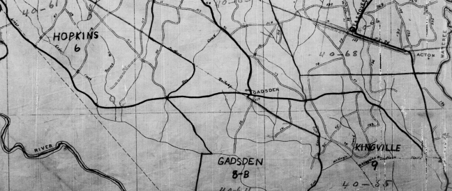
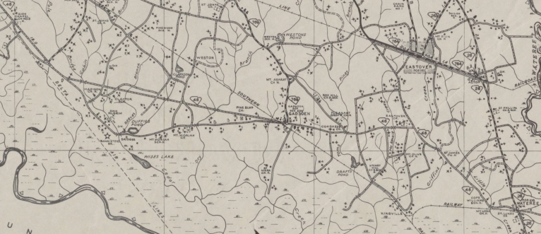
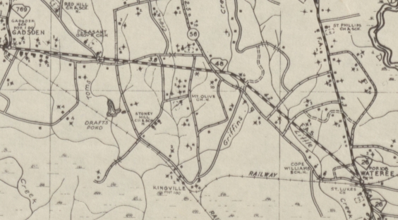
Creation: SC 48 appeared in 1930 as new primary routing, running from US 1-21/SC 2-5-215 (now US 1-378 Gervais St) Columbia southeast to SC 52 (now US 601) Wateree. This is the only SC 48.

SC 48 original routing in eastern Richland County
1938 Richland County
Adjustments: In 1940, SC 48 was removed from the lengthy S-40-734 Old Bluff Rd west of Gadsden

SC 48 rebuilt west of Gadsden
1942 Richland County
Between 1938-42, SC 48 was removed from Assembly St north of Whaley St and instead used Whaley east to Main St north to Senate east to Sumter St to end at Gervais.
About 1947, SC 48 was removed from S-40-1134 Fork Church Rd and S-40-56 Poultry Ln east of Gadsden; S-40-56 Joe Collins Rd into Wateree.

SC 48 rebuilt east of Gadsden
1948 Richland County
In 1957, SC 48 was restored to using Assembly St but ending at Blossom which was then US 21-176-321/SC 215.
In 1978, SC 48 was extended north on Assembly replacing US 21, US 176, and US 321 to its current end at Elmwood Ave.
Improvements: Paved only around Columbia up until 1948.
In 1948 SC 48 was paved from Columbia to Gadsden.
The remainder of SC 48 was paved in 1949.
SC 48 was multilane from Columbia to Atlas Rd. by 1963.
Comment: SC 48 serves southern Richland County, as well as the Congaree Swamp National Monument.
I used to use SC 48 as a back door short cut from Berkeley County to Columbia (via US 176, US 15, SC 267, US 601), which when the speed limit on interstates was still 55 was a viable alternative.