Laos Physical Map (original) (raw)
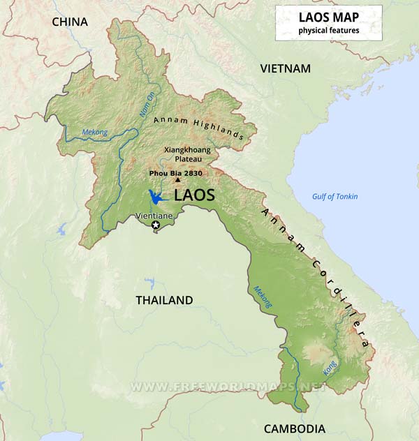
Physical map of Laos, equirectangular projection
Click on above map to view higher resolution image
Laos physical features
Laos is a landlocked nation in Southeast Asia, between Thailand and Vietnam. Most of the western border of Laos is demarcated by the Mekong River, which is an important artery for transportation.
The topography of Laos is largely mountainous, with elevations above 500 meters typically characterized by steep terrain, narrow river valleys, and low agricultural potential. This mountainous landscape extends across most of the north of the country, except for the plain of Vientiane and the Plain of Jars in Xiangkhoang Province.
Highest point is Phou Bia at 2817 meters above sea level.
Other maps of Laos
Customized Laos maps
Could not find what you're looking for? Need a special Laos map? We can create the map for you!
Crop a region, add/remove features, change shape, different projections, adjust colors, even add your locations!
