Home | Geophysical Institute (original) (raw)
Researchers
Meet the people behind the science.

Focuses on coastal hazards and their impact on the natural and built environments and the people that live there
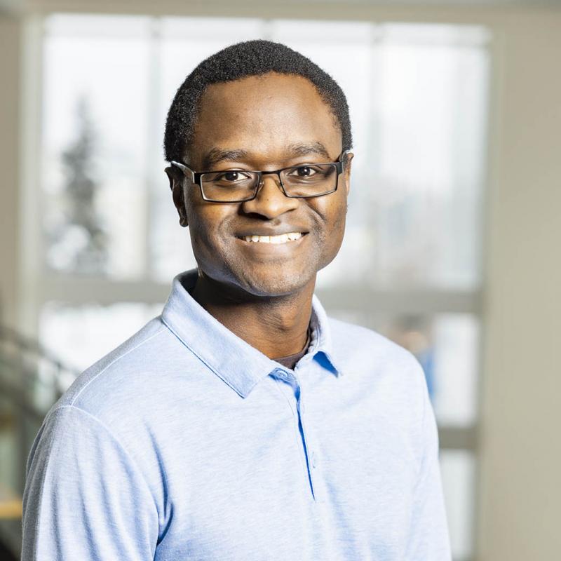
Uses seismic waves to image Earth's crust and study earthquakes

Studies the dynamics, structure and circulation of the middle and upper atmosphere with ground-based and satellite observations

Uses monitoring data and eruption records to provide probabilistic eruption forecasts


Studies the relationship between animals, the cryosphere, and landscape change

Applies remote sensing and novel technologies to study changes of the earth's surface
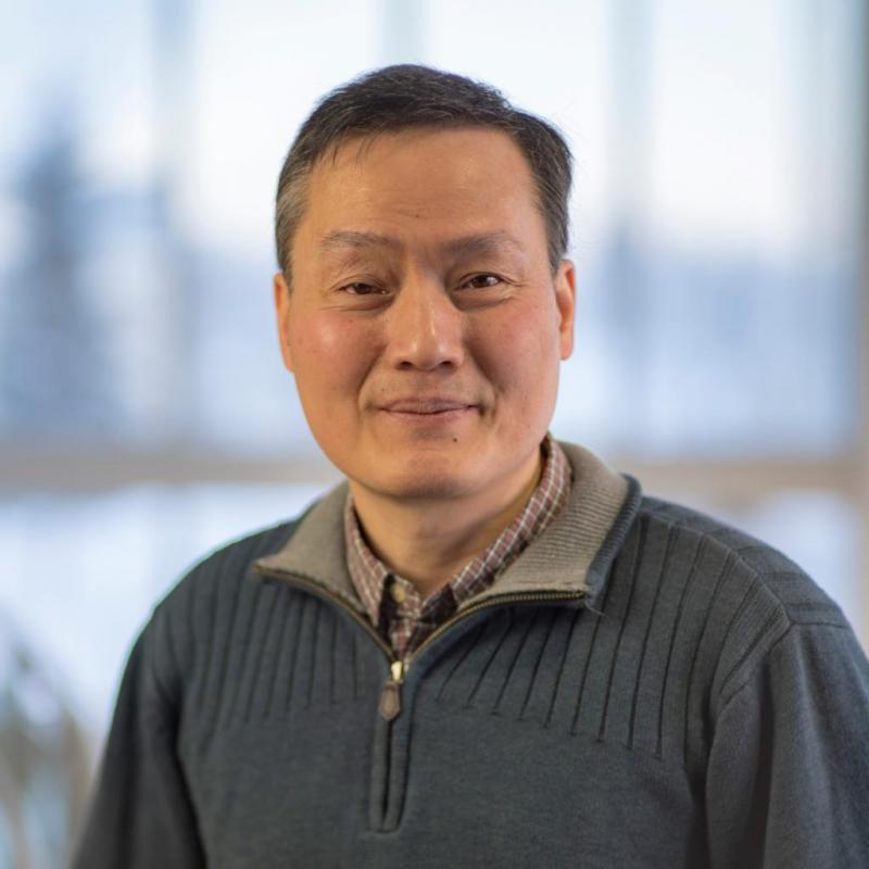
Analyzes space and fusion plasmas through theory and computational plasma physics

Models cryosphere processes and develops tsunami hazard mitigation products

Denise Thorsen
ASGP Director
Oversees the Alaska Space Grant Program at UAF

Uses seismic waves to study earthquakes and image Earth's internal structure

Develops optical remote sensing instrumentation and techniques to study our environment

Develops science learning programs and studies science identity, interest and motivation

Jennifer Delamere
GINA Director
Oversees the Geographic Information Network of Alaska

Studies the marine geology and geophysics of the Arctic Ocean to reveal its history

Uses the composition and flux of volcanic gases to understand volcanic processes

Explores how high-latitude landscapes respond to climate change
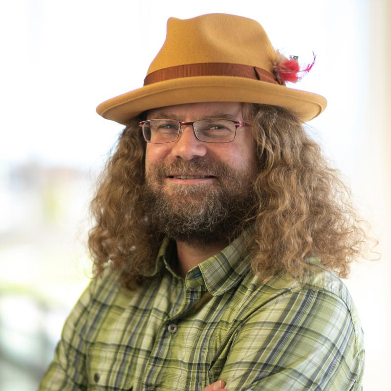
Studies glacier and ice sheet responses to atmospheric and oceanographic changes

Integrates GPS, InSAR, seismic data to study geohazards like earthquakes, volcanoes, and landslides

Explores surface processes on glaciers and the ecohydrology of glacierized watersheds through field work and mechanistic modeling

Studies periglacial processes and permafrost
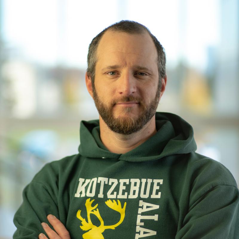
Researches geophysics of sea ice and its role in Earth systems

Measures sea ice and snow from unmanned aerial systems
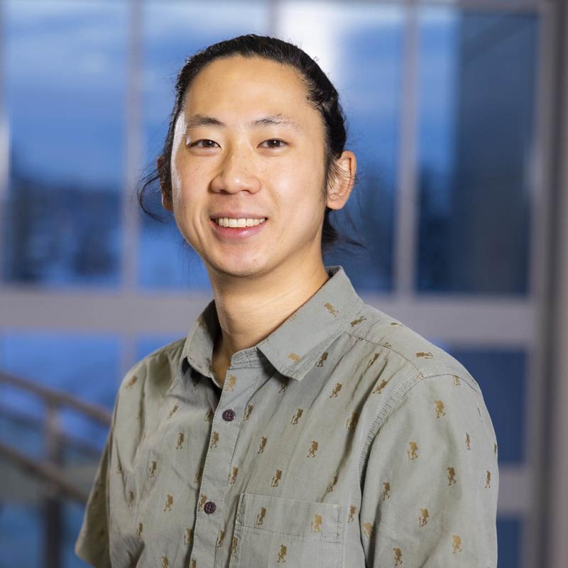
Investigates Earth structure and tectonic processes by leveraging seismic data, software development, and numerical modeling

Studies geologic processes by measuring ages of rocks, especially with noble gases

Studies volcanoes, earthquakes and other crustal deformation processes with GPS and InSAR

Applies synthetic aperture radar techniques to geophysical problems

Studies atmospheric chemistry using airborne remote sensing and radiative transfer modeling

David Fee
AVO Coordinating Scientist
Uses infrasound and seismic data to study volcanic eruptions and other explosions

Studies atmospheric chemistry and pollution using rugged instruments and remote sensing

Uses observational data and machine learning to study the effects of space weather on the thermosphere-ionosphere systems

Researches complex systems from turbulence in fusion plasmas to power transmission grids
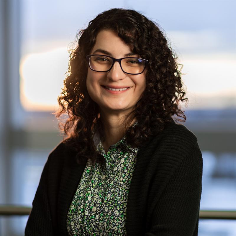
Studies the coupled magnetosphere-ionosphere-thermosphere systems using numerical models and data analysis
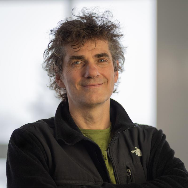
Studies graphene structures, meteorites, impact ejecta, human brain, cognition, planetary geophysics, gravity/magnetic anomalies and equation of state

Uses optical instruments to observe and study the aurora and upper atmosphere
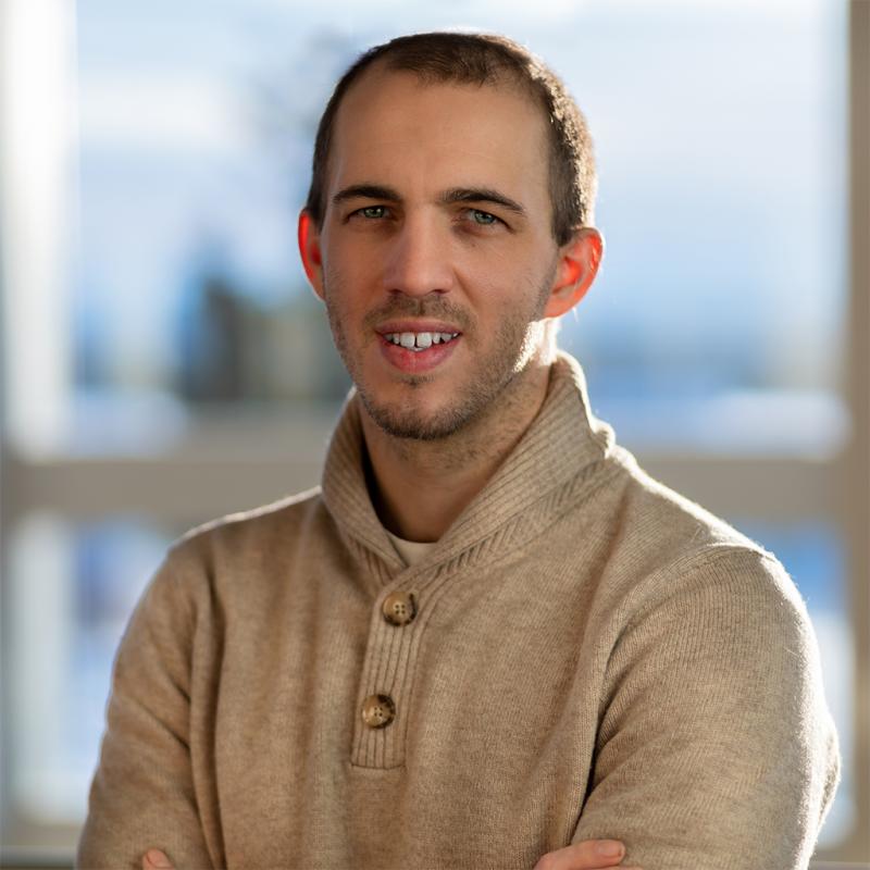
Focuses on how to constrain geologic processes to absolute time

Conducting active experiments in space with supporting theory, modeling and data analysis

Studies magnetospheric physics with emphasis on the numerical simulation of space plasmas

Studies and monitors active volcanoes of Alaska and Kamchatka

Studies volcanoes, earthquakes and other crustal deformation processes with GPS and InSAR

Studies the Arctic from space

Jessica Larsen
GI Associate Director
Studies the inner workings of active and potentially hazardous volcanoes in Alaska and elsewhere
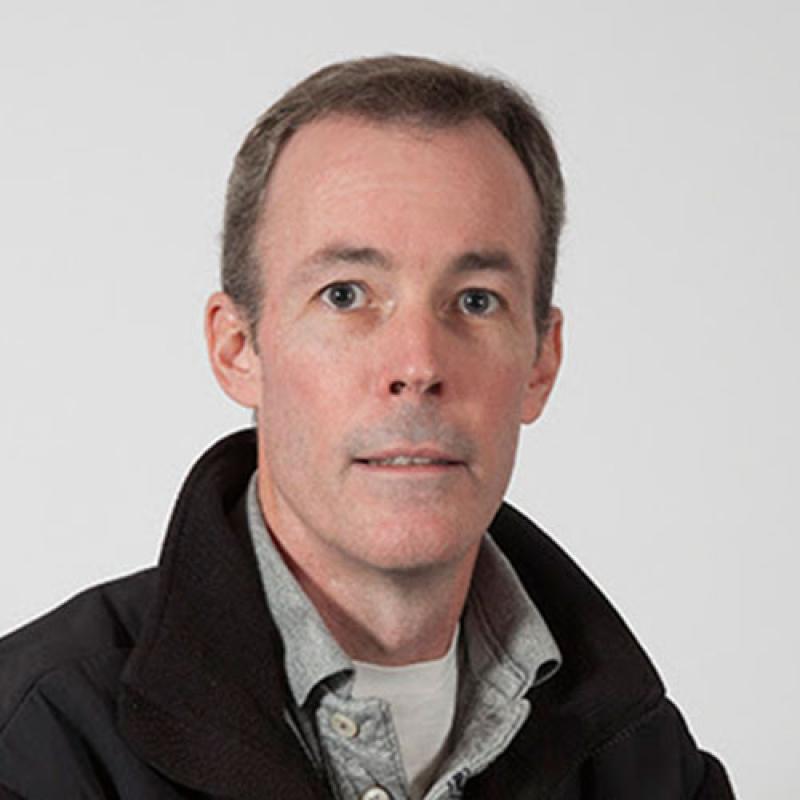
Studies fossil soils, non-marine sedimentary deposition, and Cretaceous environments

Uses simulations to study particle acceleration and Alfven wave dynamics in space plasmas

Studies design and development of ground-based lidar systems for atmospheric research

Studies space weather using space-borne radio sounding, whistlers, and numerical simulations of magnetosphere-ionosphere-thermosphere

Researches geophysics of sea ice and its role in Earth systems

Applies remote sensing and field work to study ice flow and glacier change

Uses sounding rockets and ground-based optical instruments to study space weather
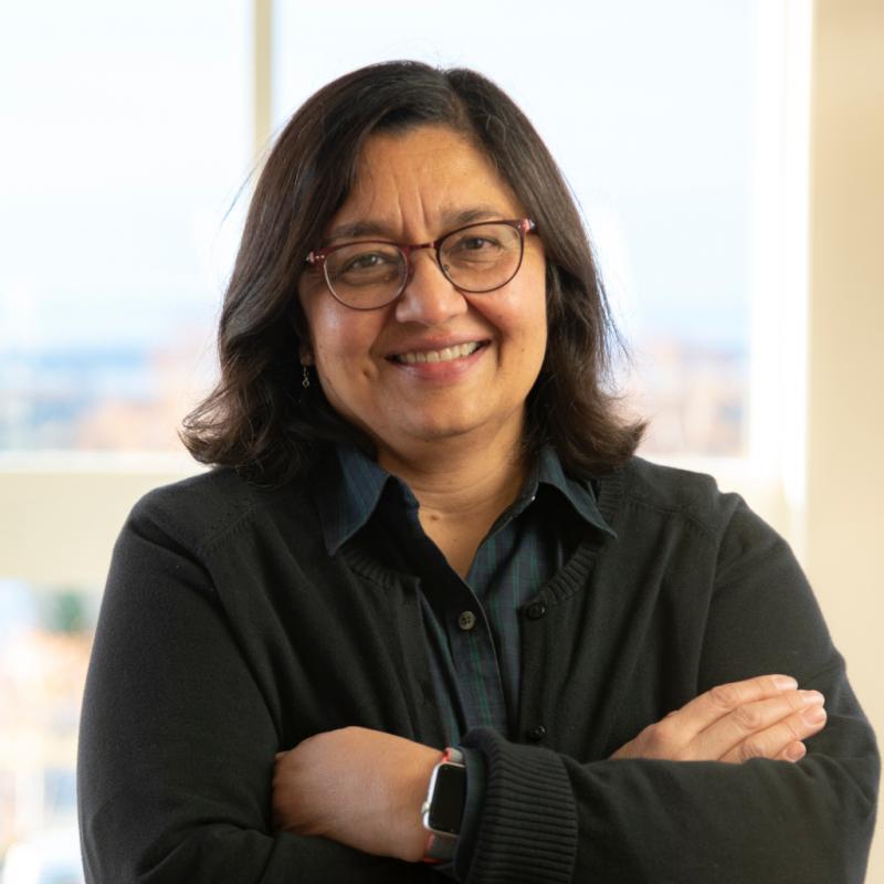
Specializes in climate variability, from seasonal to multidecadal time scales

Studies glacier mass changes and their impact on sea level and streamflow

Integrates GPS, InSAR, seismic data to study geohazards like earthquakes, volcanoes, and landslides
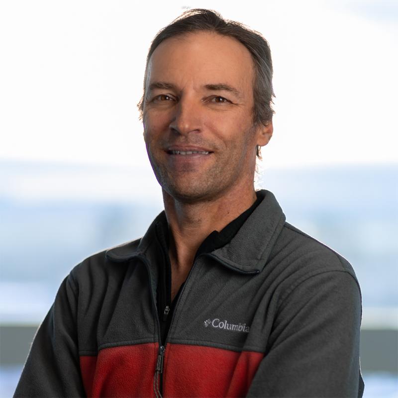
Studies ice cloud microphysics to improve model interpretation and light absorbing particles in snow
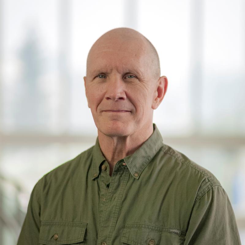
Uses Unmanned Aircraft Systems to monitor mine safety, operation, and emergency response
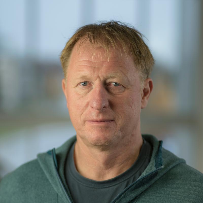
Martin Stuefer
ACRC Director and State Climatologist
Studies weather and climate

Studies the impacts of climate warming on various components of the Arctic ecosystem

Studies tidewater and lake-calving glaciers, ice deformation, and glacier beds
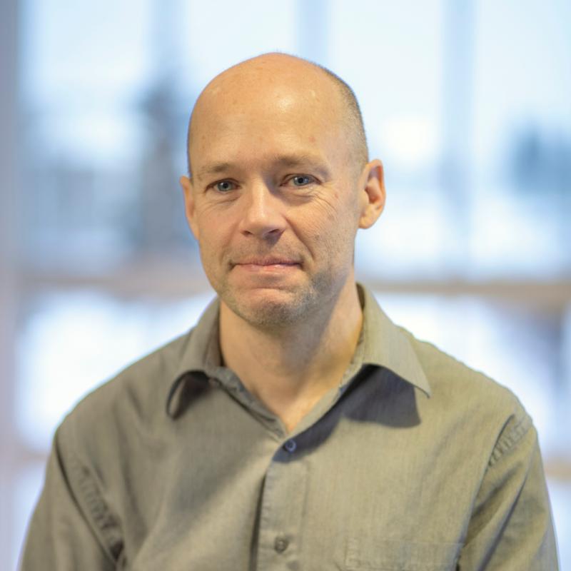
Michael West
AEC Director
Improves seismic techniques for monitoring and understanding natural hazards and environmental change with an emphasis on Alaska
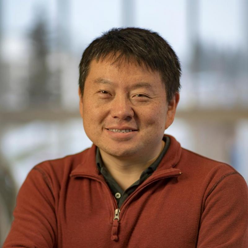
Uses observations and global models to study the evolution of trace gas composition of the atmosphere

Studies snow on tundra and sea ice through Arctic and Antarctic expeditions

David Fee
AVO Coordinating Scientist
Uses infrasound and seismic data to study volcanic eruptions and other explosions

Studies the weather and climate of the atmosphere and interactions with space weather