Geography - Outdoor Himalayan Treks (original) (raw)
The geography of Nepal is abundant with diversities which is 800 km long, 200 km wide, & lies between latitudes 26°31°N, and longitudes 80°89°E. It contains plains, it contains valleys, it contains mountains, lakes, glaciers, rivers, fountains, floodplains, and almost every geographical entity except the sea and sea beach. Starting as low as 60 meters from sea level to the world’s highest point at the top of Mt Everest at 8848.86 meters, Nepal is predominantly a mountainous country. Mountains occupy nearly 77% area of the nation; the remaining 23% is covered by a narrow belt of plain land in the south that runs the length of the country. Starting here from the southern plains and moving north, the first range of mountains to be encountered are the Churia hills, mostly covered by the dense evergreen forest. Again running lengthwise and separating the plains from the hilly terrain, these Churia hills are the youngest mountain range in the Himalayas. To the north of the Churia hills are many fertile valleys and sections of plainland, sometimes known as inner Terai. Then comes the greater mountain range of the Mahabharat Himalayas, with some peaks in this range as high as 3000 meters.

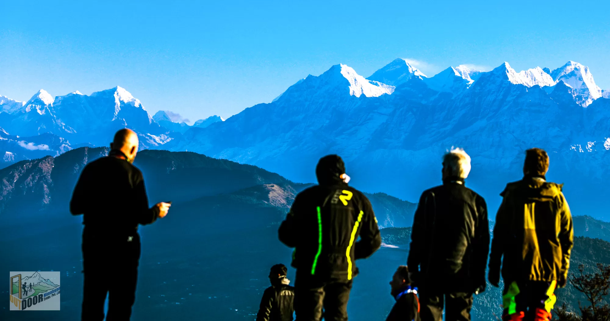
The Mahabharat Himalayas (geologists call it the lesser Himalayas) are also mostly covered by trees, with the alpine and coniferous trees covering the slopes in higher altitudes and subtropical, evergreen trees covering lower altitudes. To the north of this range are only hills and mountains, except some valleys, patches of plainland in the riverside, and high mountain plateaus. At the northern border of the nation stands the majestic Himalayas, which contain eight of the world’s fourteen 8,000-plus peaks. But in the west of the country, the Himalayas do not make the border with China. Instead, there is a large swathe of trans-Himalayan land in Mustang, Manang, Dolpa, and other areas that are strikingly similar to Tibet both geographically and culturally. Hence starting from the narrow belt of flatland in the south, Nepal rises higher and higher like a wall, culminating at the world’s tallest point.

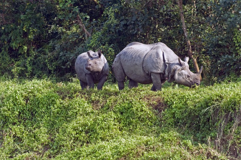
One-horned rhinos
With the world’s highest peaks concentrated in the Himalayas, Nepal is a Mecca for mountaineering and high-altitude trekking, a nation that offers any kind of variety for the lovers of these activities, from those with the most adventurous spirits to those who just want to have an easy taste. Originating from the permanently snow-covered mountains of Nepal are numerous rivers, which again provide classic routes and formidable challenges for rafting and kayaking. The snaking rivers, thundering waterfalls, mysterious gorges, and the floral and faunal diversity in the areas fed by them make magnificent sceneries for travelers. There are also numerous glacial lakes in the Himalayan region. As all the rivers of Nepal run south, they carry unusual speeds, exciting rapids, and cut wild, mysterious gorges through the numerous mountain ranges running east to west. The Terai plain has a dense population because of fertile land and easy terrain, but there are also some national parks with rare animals like the Bengal tiger and one-horned rhinoceros.