Home (original) (raw)
Map it right the first time!
Airborne Electromagnetic Surveys
Leading the way in Airborne Electromagnetic Technology (EM)
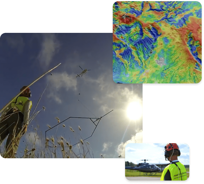
SkyTEM is a global pioneer in airborne geophysical solutions, specializing in cutting-edge electromagnetic surveys. We deliver high-resolution subsurface data crucial for applications in groundwater management, mineral exploration, environmental assessments, and geotechnical projects. Driven by a commitment to innovation, precision, and quality, we empower industries to make informed, sustainable decisions based on comprehensive subsurface knowledge.

Water and Environment
Efficiently map and protect groundwater resources with our high-resolution airborne electromagnetic surveys. Our technology delivers accurate data to inform sustainable groundwater use, aquifer characterization, and contamination assessments.
Mineral Exploration
Optimize exploration efforts and minimize risk with our precise airborne geophysics. SkyTEM’s advanced data acquisition identifies mineral deposits with exceptional clarity, enhancing exploration efficiency while reducing environmental impact.
Geotechnical Engineering
Make informed decisions with detailed airborne geophysical data for environmental and geotechnical applications. From mapping soil contamination to evaluating geological hazards, our electromagnetic surveys provide the data needed for safe and responsible project planning.
Mapping the Subsurface with Airborne Geophysics
SkyTEM systems do what no other single airborne geophysical system can – map the near surface in high resolution concurrently with accurate measurements to depths over 500 metres.

Engineered to detect subtle geological variations, SkyTEM delivers a comprehensive interpretation of near-surface geology and increases confidence in modeling deeper geology. Furthermore, inverted data can be made available within 48 hours. SkyTEM’s suite of systems satisfies the most challenging mapping needs and offer a wide range of solutions for resource management.
SkyTEM systems are designed to detect subtle variations in conductivity/resistivity making it possible to deliver accurate high resolution images of alterations in the earth.
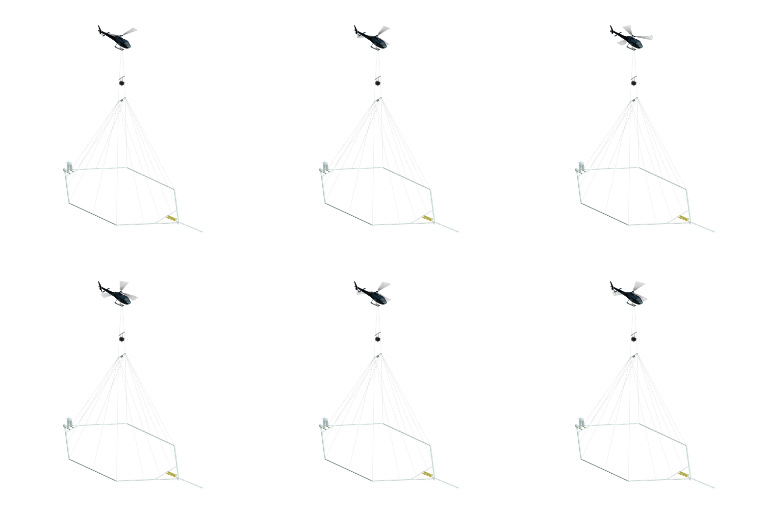
The magnetometer and auxiliary instruments are mounted directly on the frame so that measurements are made as close to the ground as possible from an airborne geophysical platform.


Case Studies, Industry Insights and News
Case Studies, Industry Insights and News
SkyTEM - A Børsen Gazelle 2024: Innovation, Excellence, Growth
Danish Industry Business Oscars go to SkyTEM
Upcoming Events
Mines and Money @ Resourcing Tomorrow
Find out more >
Future Minerals Forum
Find out more >
AME RoundUP
Find out more >
Our Offices
Offices around the world and Corporate Headquarters in Denmark.
Our diverse and highly skilled workforce of geophysicists, engineers, technicians and project managers have successfully managed and completed numerous projects on 7 continents.
SkyTEM Headquarters
Morten Melbye, Chief Executive Officer
Dyssen 2 DK-8200 Aarhus N Denmark
SkyTEM Africa
Christina Hutchinson, Regional Sales Manager
Dock Road Junction, Cnr Dock Road and Stanley Street, V&A Waterfront, Cape Town, South Africa 8001
SkyTEM Australia
Steven Johnson, General Manager
11 Agett Rd Malaga, WA 6090 Australia
SkyTEM Central and South America
Gary Tipper, Regional Sales Manager
SkyTEM North America
Mandy Long, General Manager and Regional Sales Manager
Sales and Processing Office 151 Yonge Street, 11th floor Toronto, ON M5C 2W7
Accounting and Administration Office 47 Kensington Avenue Brantford, Ontario N3R 3N9
SkyTEM Europe
Christina Hutchinson, Regional Sales Manager
Morten Melbye, Chief Executive Officer
Dyssen 2, DK-8200 Aarhus N Denmark
SKYTEM HAS MAPPED 1,500,000+ LINE KILOMETRES OF THE EARTH.
That’s equivalent to almost 25 trips around the world. All of it is mapped with helicopters on all 7 continents.
SkyTEM | All Rights Reserved