Free USGS Topographic Maps Online (original) (raw)
Featured Articles
75 Deepest Lakes in the US
The United States have their fair share of deep lakes both natural and man-made. Using a cut-off of 300 feet […]
Read full post
2. 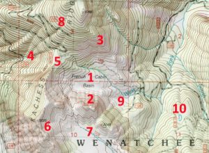
How to Read Topographic Maps
Topographic maps are complicated to say the least. They have a lot going on with different colors, lines, and labels […]
Read full post
3. 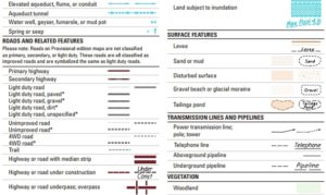
Topographic Map Legend and Symbols
The topographic maps on TopoZone were created by the United States Geological Survey (USGS) and have evolved for more than […]
Read full post
4. 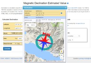
Topo Map Orientation (True North vs Magnetic North)
All of the topographic maps on TopoZone are displayed and printed with true north up. If you are using a […]
Read full post
5. 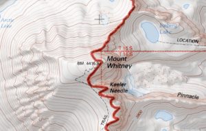
How to Use GPS Coordinates to Find Topographic Maps
All of the points of interest pages on TopoZone have coordinates (latitude and longitude) in the information section below the […]
Read full post
Find Topo Maps by State
AL AK AZ AR CA CO CT DE FL GA HI ID IL IN IA KS KY LA ME MD MA MI MN MS MO MT NE NV NH NJ NM NY NC ND OH OK OR PA RI SC SD TN TX UT VT VA WA WV WI WY DC
- Alabama
- Alaska
- Arizona
- Arkansas
- California
- Colorado
- Connecticut
- Delaware
- Florida
- Georgia
- Hawaii
- Idaho
- Illinois
- Indiana
- Iowa
- Kansas
- Kentucky
- Louisiana
- Maine
- Maryland
- Massachusetts
- Michigan
- Minnesota
- Mississippi
- Missouri
- Montana
- Nebraska
- Nevada
- New Hampshire
- New Jersey
- New Mexico
- New York
- North Carolina
- North Dakota
- Ohio
- Oklahoma
- Oregon
- Pennsylvania
- Rhode Island
- South Carolina
- South Dakota
- Tennessee
- Texas
- Utah
- Vermont
- Virginia
- Washington
- Washington, DC
- West Virginia
- Wisconsin
- Wyoming
TopoZone has been serving up topographic maps online since 1999. Our goal is to provide the highest quality USGS-based topo maps for outdoor enthusiasts, travelers and other users. All our topos are FREE and printable and have additional layers such as satellite images, US forest service topo maps, and the standard street maps. With our mobile-friendly site, these custom maps are easy to view on any iPhone, Android and other smart phones and tablets. Use our website in the browser on your phone like a GPS unit to see the topography around you in a full screen.
Browse by using our interactive state maps linked above or search for any trail map, lake, river, mountain, city, or any other geographic place in the USA. You can also enter coordinates to get a topo map of any location. TopoZone has over 1 million topo maps for you to use for free. We cover interesting topics in our articles and on custom maps with lots of new information and mapping functionality always being added.
