Archaeology from Space, Ancient Monument Placemarks (original) (raw)
Ancient Monument Placemarks
 Placemarks Download: Archaeogeodesy Placemarks, Ancient Monuments in Google Earth v2024 Spanning the globe, more than 15,000 placemarks of ancient monuments and anthropogenic features visible in satellite imagery, created during a decade of space archaeology applied to ancient monument research. This file includes the 7,500+ monuments with coordinates in the Excel applet. The current placemarks version no longer embeds the 5,000 Panoramio photos I selected for archaeological value. Google deleted the Panoramio domain. More photos have recently been restored or added using the Web Archive. Download - 8.7 MB Google Earth file: jqjacobs.net/kml/archaeogeodesy.kml **ArchaeoGeodesy Applet v2024**Updated Excel application includes new sites from Amazon surveys and other recent research. This applet employs the terse, five digit site labels in the archaeogeodesy KML file to input the latitude and longitude of the monuments. Download - 3.3 MB Excel file: jqjacobs.net/astro/xls/archaeogeodesy.xls Placemarks Download: Archaeogeodesy Placemarks, Ancient Monuments in Google Earth v2024 Spanning the globe, more than 15,000 placemarks of ancient monuments and anthropogenic features visible in satellite imagery, created during a decade of space archaeology applied to ancient monument research. This file includes the 7,500+ monuments with coordinates in the Excel applet. The current placemarks version no longer embeds the 5,000 Panoramio photos I selected for archaeological value. Google deleted the Panoramio domain. More photos have recently been restored or added using the Web Archive. Download - 8.7 MB Google Earth file: jqjacobs.net/kml/archaeogeodesy.kml **ArchaeoGeodesy Applet v2024**Updated Excel application includes new sites from Amazon surveys and other recent research. This applet employs the terse, five digit site labels in the archaeogeodesy KML file to input the latitude and longitude of the monuments. Download - 3.3 MB Excel file: jqjacobs.net/astro/xls/archaeogeodesy.xls |
|---|
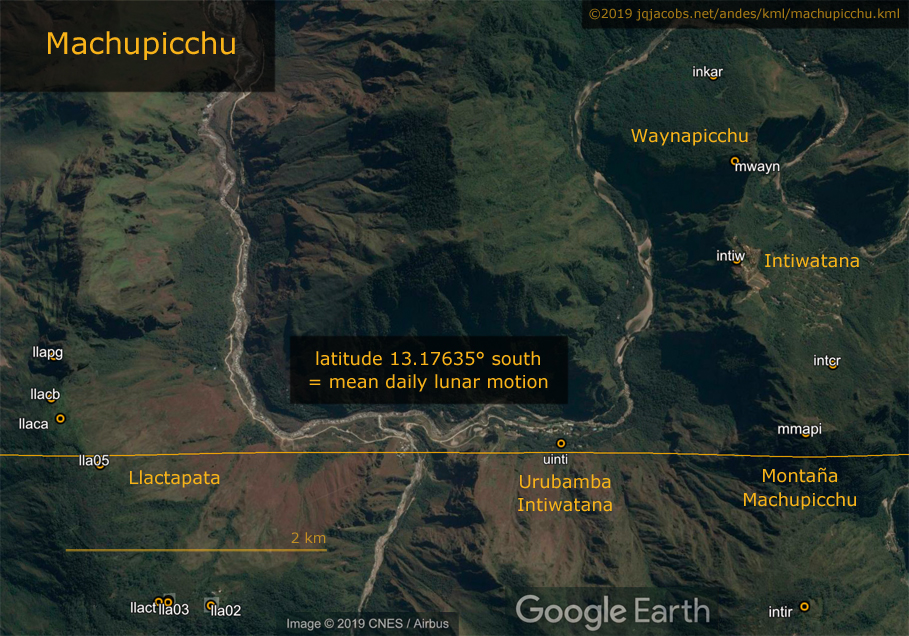
 Updated KML Files Machupicchu Sites KML has Panoramio photo embeds restored using the Web Archive versions of the file, updated coordinates, and more placemarks. This KML is sites only, linked below the version with results placemarks. Download jqjacobs.net/andes/kml/machupicchu.kml — 200 KB. Updated KML Files Machupicchu Sites KML has Panoramio photo embeds restored using the Web Archive versions of the file, updated coordinates, and more placemarks. This KML is sites only, linked below the version with results placemarks. Download jqjacobs.net/andes/kml/machupicchu.kml — 200 KB.  Southwest Archaeology KML v2020 is reformatted with larger photo embeds and includes all individual site KML files in one southwest folder. Download jqjacobs.net/kml/southwest.kml — 91 KB. 2021 updates — Amazon Geoglyphs — Poverty Point — France Southwest Archaeology KML v2020 is reformatted with larger photo embeds and includes all individual site KML files in one southwest folder. Download jqjacobs.net/kml/southwest.kml — 91 KB. 2021 updates — Amazon Geoglyphs — Poverty Point — France |
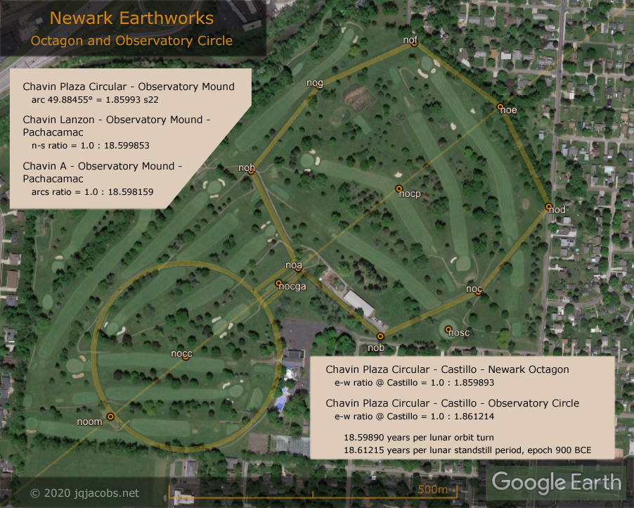
 Recent KML Files The contents of placemarks balloons with research results will seem esoteric without the context of related articles. For those unfamiliar with the AeGeo code terms and my previous writings and KML files, a discussion in Casma-Sechin Archaeogeodesy is intended to help overcome the obstacle. Machupicchu Archaeogeodesy: machupicchu.kml Chavin de Huantar Archaeogeodesy: chavin.kml Casma-Sechin Archaeogeodesy: sechin.kml Golden Mean Longitudes: phi_golden_ratios.kml The Heart of Neolithic Orkney: orkney.kml Three Monuments, Two Astronomy Ratios: cahokia_3650.kml Emperor Qin and the Golden Mean: qin.kml Pinson Mounds State Archaeological Park: pinson.kml Poverty Point Earthworks: poverty_point.kml Tumichucua, Newark, and Pi: tumichucua.kml Space Archaeology in the Amazon: bolivia.kml amazon_geoglyphs.kml Recent KML Files The contents of placemarks balloons with research results will seem esoteric without the context of related articles. For those unfamiliar with the AeGeo code terms and my previous writings and KML files, a discussion in Casma-Sechin Archaeogeodesy is intended to help overcome the obstacle. Machupicchu Archaeogeodesy: machupicchu.kml Chavin de Huantar Archaeogeodesy: chavin.kml Casma-Sechin Archaeogeodesy: sechin.kml Golden Mean Longitudes: phi_golden_ratios.kml The Heart of Neolithic Orkney: orkney.kml Three Monuments, Two Astronomy Ratios: cahokia_3650.kml Emperor Qin and the Golden Mean: qin.kml Pinson Mounds State Archaeological Park: pinson.kml Poverty Point Earthworks: poverty_point.kml Tumichucua, Newark, and Pi: tumichucua.kml Space Archaeology in the Amazon: bolivia.kml amazon_geoglyphs.kml   Further Reading The archaeoastronomy and archaeogeodesy writings also provide context for the placemarks and research results. Machupicchu Archaeogeodesy Chavin de Huantar Archaeogeodesy Casma-Sechin Archaeogeodesy Ancient Monument Latitudes Evidence Accurate Astronomy Newark Archaeogeodesy Assessing Evidence of Geospatial Intelligence in the Americas Eclipses, Cosmic Clockwork of the Ancients includes fundamental astronomy and astronomy code terms. Hundreds of Geoglifos Discovered in the Amazon exemplifies how satellite imagery has revealed past cultures. Further Reading The archaeoastronomy and archaeogeodesy writings also provide context for the placemarks and research results. Machupicchu Archaeogeodesy Chavin de Huantar Archaeogeodesy Casma-Sechin Archaeogeodesy Ancient Monument Latitudes Evidence Accurate Astronomy Newark Archaeogeodesy Assessing Evidence of Geospatial Intelligence in the Americas Eclipses, Cosmic Clockwork of the Ancients includes fundamental astronomy and astronomy code terms. Hundreds of Geoglifos Discovered in the Amazon exemplifies how satellite imagery has revealed past cultures.   Panoramio and the Deprecated KML Files The Web Archive preserves my deprecated 2017.12.30 placemarks webpage: jqjacobs.net/archaeo/sites You can also find the Panoramio photos Google deleted from the web in the Web Archive. If a photo no longer appears in one of my previous placemarks, click the link below it and copy the URL of the missing web page, then go to the Web Archive home page and paste the URL in the search bar. Be aware that you may need to click another link to arrive at the image when a Panoramio Page Not Found result is shown. Look for a text link stating the number of captures of the page and click that link, then click a highlighted date button. The pages are no longer fully functional, nonetheless they remain useful to archaeology researchers. Panoramio and the Deprecated KML Files The Web Archive preserves my deprecated 2017.12.30 placemarks webpage: jqjacobs.net/archaeo/sites You can also find the Panoramio photos Google deleted from the web in the Web Archive. If a photo no longer appears in one of my previous placemarks, click the link below it and copy the URL of the missing web page, then go to the Web Archive home page and paste the URL in the search bar. Be aware that you may need to click another link to arrive at the image when a Panoramio Page Not Found result is shown. Look for a text link stating the number of captures of the page and click that link, then click a highlighted date button. The pages are no longer fully functional, nonetheless they remain useful to archaeology researchers.  |
Research continues. Please obtain and contribute monument GPS readings.
" 11 Ahau was the katun when they carried on their backs. Then the land-surveyor first came; this was Ah Ppizte who measured the leagues. Then there came the chacté shrub for marking the leagues with their walking sticks. Then he came Uac-hab-nal to pull the weeds along the leagues, when Mizcit Ahau came to sweep clean the leagues, when the land-surveyor came. These were long leagues that he measured. ..."
"... the great mounds came to be built by the lineages and all the things which the rulers did. They were the ones who built the mounds. It took thirteen katuns and six years for them to construct them. The following was the beginning of the mounds they built. Fifteen four-hundreds were the scores of their mounds, and fifty more made the total count of the mounds they constructed all over the land. "
THE BOOK OF CHILAM BALAM OF CHUMAYEL, Ralph L. Roys, 1933, Carnegie Institution Washington D.C.
