San Andreas fault [This Dynamic Earth, USGS] (original) (raw)

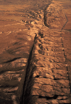
Aerial view of the San Andreas fault slicing through the Carrizo Plain in the Temblor Range east of the city of San Luis Obispo. (Photograph by Robert E. Wallace, USGS.)
 "Understanding plate motions"
URL: https://pubs.usgs.gov/publications/text/San\_Andreas.html
Last updated: 05.05.99
Contact: bhanks@usgs.gov