Anderson County, Texas, with vintage maps. (original) (raw)
Texas | Counties
East Texas Towns
31� 48' 36" N, 95� 39' 0" W (31.81, -95.65)
Population: 57,922 (2020)
58,458 (2010)
Total area: 1,078 square miles (2,790 km2)
1,063 square miles (2,750 km2) land
15 square miles (39 km2) water
| |  |
| ------------------------------------------------------------------------------------------------------------------- |
|
| ------------------------------------------------------------------------------------------------------------------- |
Anderson County Town List
Cities, Towns & Ghost Towns: History, attractions, landmarks, architecture, monuments, museums, cemeteries, bridges, parks, vintage & contemporary images, area destinations, forum...County Seat - Palestine
Anderson County Vintage Maps
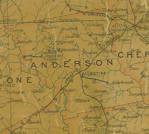
Anderson County 1907 postal map
From Texas state map #2090
Courtesy Texas General Land Office
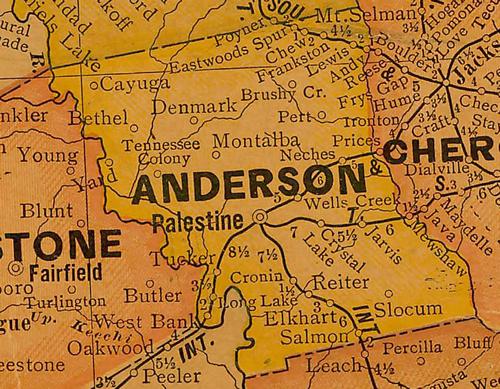
Anderson County 1920s map
From Texas state map #10749
Courtesy Texas General Land Office
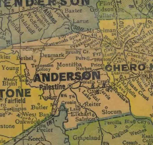
Anderson County 1940s map
From Texas state map #4335
Courtesy Texas General Land Office
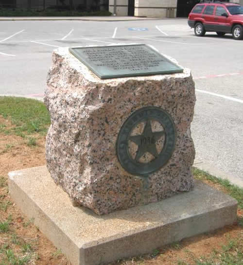
Anderson County
1936 Texas Centennial Marker
On US 79, 5 miles NE of Palestine
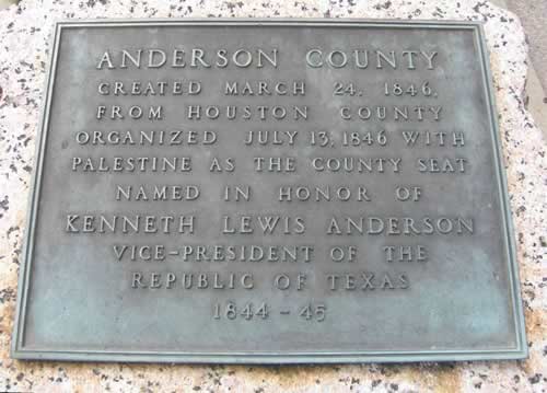
Anderson County 1936 Texas Centennial marker
Photo courtesy Barclay Gibson, April 2010
Texas Escapes, in its purpose to preserve historic, endangered and vanishing Texas, asks that anyone wishing to share their local history, stories, landmarks and recent or vintage photos, please contact us.