Baylor County, Texas, with vintage maps. (original) (raw)
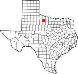
Texas | Counties Texas Panhandle
33� 37' 48" N, 99� 13' 12" W (33.63, -99.22 )
Population: 3,465 (2020)
3,726 (2010) 4,093 (2000) 4,385 (1990)
Total area: 901 square miles (2,330 km2)
867 square miles (2,250 km2) land
34 square miles (88 km2) water
| |  |
| ---------------------------------------------------------------------------------------------------------------- |
|
| ---------------------------------------------------------------------------------------------------------------- |
Baylor County History
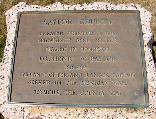
1936 Texas Centennial Marker: Baylor County
Created February 1, 1858;
Organized April 23, 1879;
named in honor of Dr. Henry W. Baylor 1818-1854; Indian fighter and Ranger captain; served in the Mexican War.
Seymour, the County Seat.
Baylor County Town List
Cities, Towns & Ghost Towns: History, attractions, landmarks, architecture, monuments, museums, cemeteries, bridges, parks, vintage & contemporary images, area destinations, forum...
County Seat - Seymour
Baylor County Vintage Maps
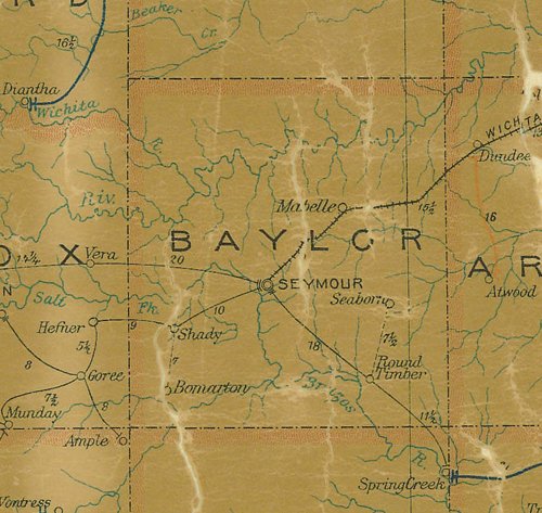
Baylor County 1907 postal map
From Texas state map #2090
Courtesy Texas General Land Office
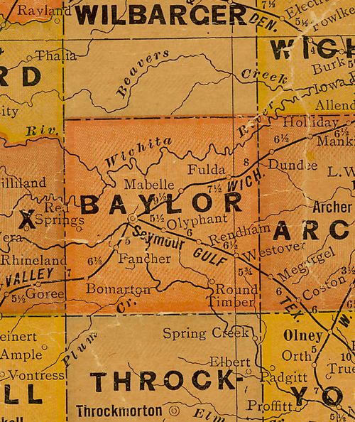
Baylor County 1920s map
From Texas state map #10749
Courtesy Texas General Land Office
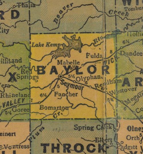
Baylor County 1940s map
From Texas state map #4335
Courtesy Texas General Land Office
Baylor County
1936 Texas Centennial Marker
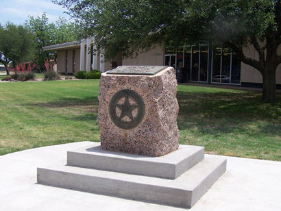
Baylor County Centennial Marker on courthouse lawn
Photo courtesy Darlene Pittillo, May 2014
Baylor County 1936 Texas Centennial marker
Photo courtesy Barclay Gibson, April 2009
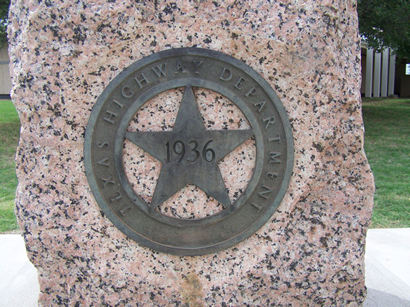
Photo courtesy Darlene Pittillo, May 2014
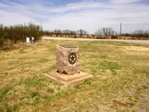
Baylor County marker on Hwy 82 at the junction of Hwy 183 & Hwy 82, 9 miles E of Seymour before it was moved to the courthouse ground
Photo courtesy Barclay Gibson, April 2009
More Texas Centennial
Texas Escapes, in its purpose to preserve historic, endangered and vanishing Texas, asks that anyone wishing to share their local history and recent or vintage/historic photos, please contact us.