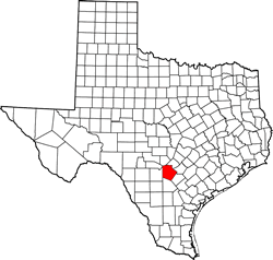
Bexar County Texas. (original) (raw)
29� 27' 0" N, 98� 31' 12" W (29.45, -98.52)
Population: 2,009,324 (2020)
1,714,773 (2010) 1,392,931 (2000) 1,185,394 (1990)
Total Area: 1,256 square miles (3,250 km2)
1,240 square miles (3,200 km2) land
16 square miles (41 km2) water
| |  |
| ------------------------------------------------------------------------------------------------------------- |
|
| ------------------------------------------------------------------------------------------------------------- |
Bexar County History
Historical marker on courthouse grounds:
Bexar County under Nine Governments
The administrative government of Bexar County, besides being the oldest in Texas, is distinguished by having served under nine governments. The community served under Spanish rule from May, 1718, until January, 1811, when it was taken over by the revolutionary "Casas regime". Only five weeks later, the "counter-revoluationary Junta of Bexar" overthrew the Casas government and eventually restored Spanish rule. In April, 1812, however, the "Republican Army of the North" deposed the provincial Spanish government and declared independence from Spain. Five months later the Spanish regained control, holding Texas until 1821. The fifth regime, "First Imperial Government of Mexico" was created when Mexico gained independence from Spain in 1821. The emperor relinquished control to army leaders within two years, however, and the "Republic of Mexico" was established. Texas gained independence from Mexico in 1836, thereby establishing Bexar's seventh government, the "Republic of Texas". In 1845, Texas became the twenty-eighth state of the United States and remained in the Union until 1861, when the southern states seceeded to from the Confederacy. Following the Civil War, U.S. rule returned to Bexar County in 1865.
(1967)
Bexar County Town List
Cities, Towns & Ghost Towns: History, attractions, landmarks, architecture, monuments, museums, cemeteries, bridges, parks, vintage & contemporary images, area destinations, forum...County Seat - San Antonio
Bexar County Vintage Maps
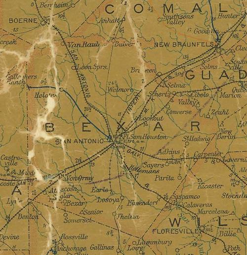
Bexar County 1907 postal map
From Texas state map #2090
Courtesy Texas General Land Office
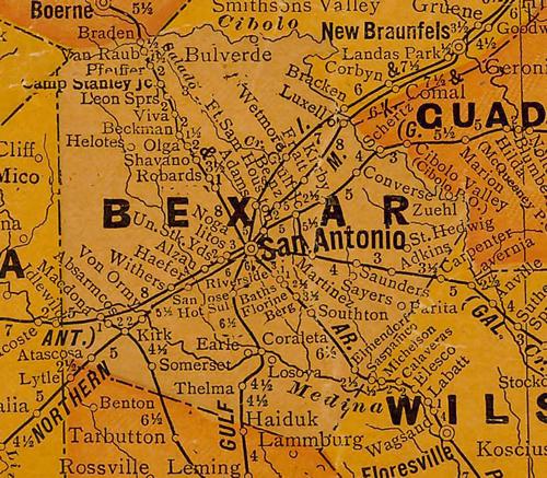
Bexar County 1920s map
From Texas state map #10749
Courtesy Texas General Land Office
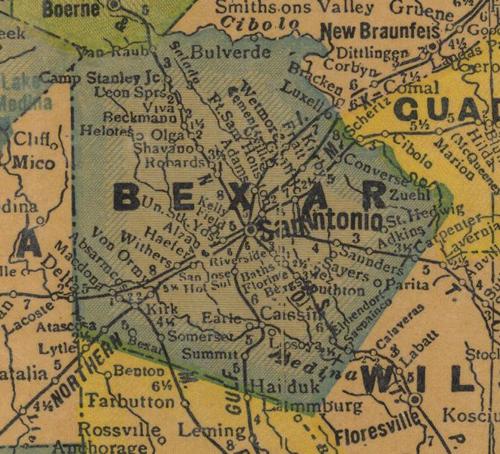
Bexar County 1940s map
From Texas state map #4335
Courtesy Texas General Land Office
Texas Escapes, in its purpose to preserve historic, endangered and vanishing Texas, asks that anyone wishing to share their local history, stories, landmarks and recent or vintage photos, please contact us.