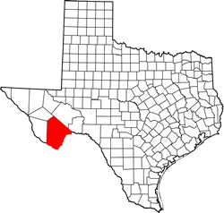
Brewster County Texas. (original) (raw)
29� 48' 42.66" N, 103� 15' 6.12" W (29.81185, -103.2517)
Population: 9,546 (2020)
9,232 (2010) 8,866 (2000) 8,681 (1990)
Total area: 6,192 square miles (16,040 km2)
6,184 square miles (16,020 km2) land
8.5 square miles (22 km2) (0.1%) water
| |  |
| ------------------------------------------------------------------------------------------------------------------- |
|
| ------------------------------------------------------------------------------------------------------------------- |
Brewster County History
(Historical Marker - on US 90, 8.1 miles East of Alpine)
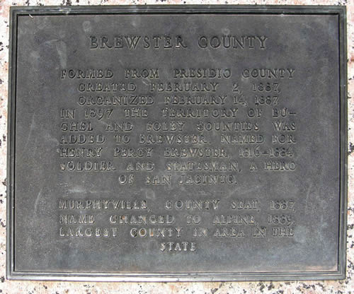
BREWSTER COUNTY
Formed from Presidio County.
Created February 2, 1887.
In 1897 the territory of Buchel and Foley counties was added to Brewster.
Named for Henry Percy Brewster 1816-1884 soldier and statesman, a hero of San Jacinto.
Murphyville county seat, 1887, name changed to Alpine, 1889.
Largest county in area in the state.
1936
Brewster County Town List
Cities, Towns & Ghost Towns: History, attractions, landmarks, architecture, monuments, museums, cemeteries, bridges, parks, vintage & contemporary images, area destinations, forum...County Seat - Alpine
Brewster County Vintage Maps
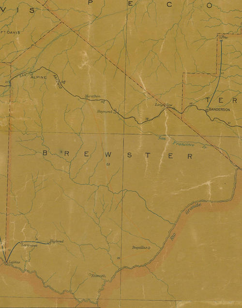
Brewster County 1907 postal map
From Texas state map #2090
Courtesy Texas General Land Office
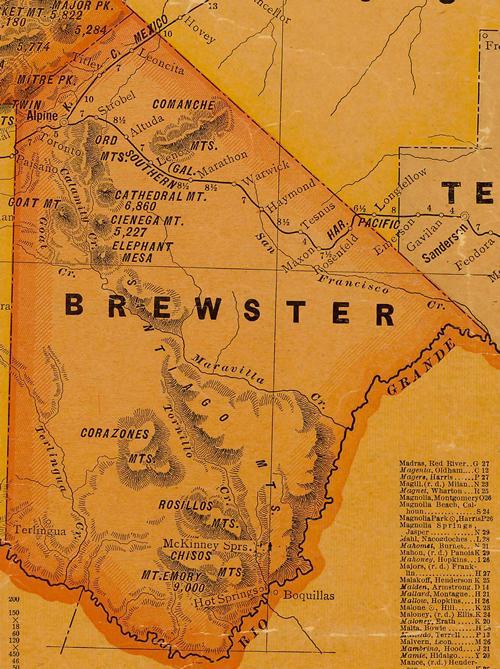
Brewster County 1920s map
From Texas state map #10749
Courtesy Texas General Land Office
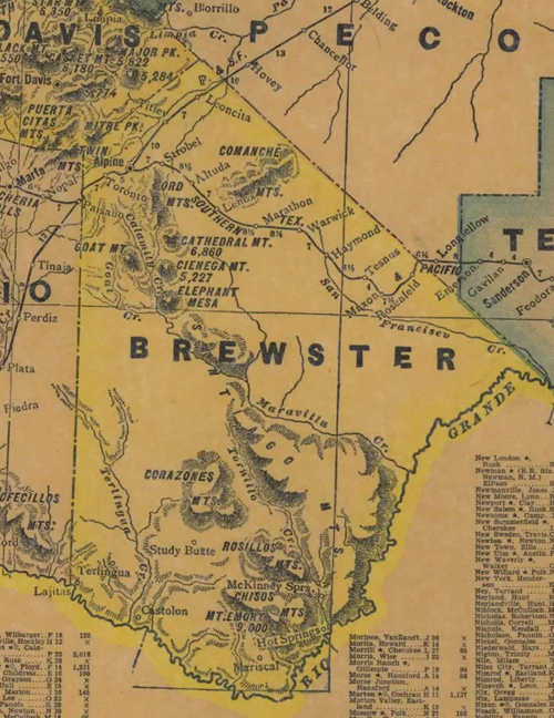
Brewster County 1940s map
From Texas state map #4335
Courtesy Texas General Land Office
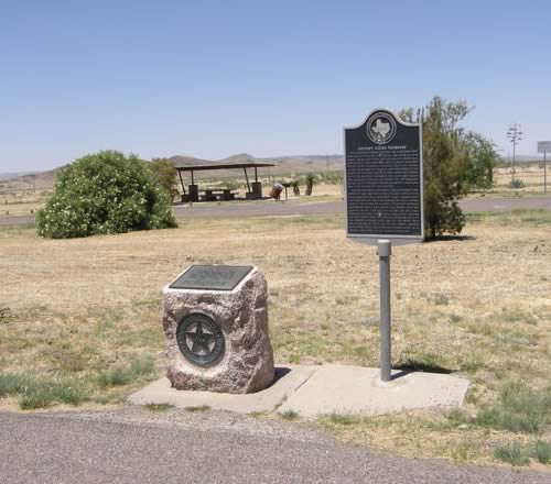
Brewster County
1936 Texas Centennial Marker
US 90
about 8.1 miles E of Alpine
On the roadside
Brewster County 1936 Texas Centennial marker plaque
Photo courtesy Barclay Gibson,
Texas Escapes, in its purpose to preserve historic, endangered and vanishing Texas, asks that anyone wishing to share their local history, stories, landmarks and recent or vintage photos, please contact us.