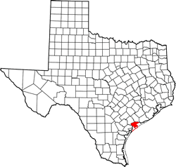
Calhoun County, Texas. (original) (raw)
Texas | Counties Texas Gulf Coast
28� 26' 24" N, 96� 36' 36" W (28.44, -96.61)
Population: 20,106 (2020)
21,381 (2010) 20,647 (2000) 19,053 (1990)
Total area 1,033 square miles (2,680 km2):
507 square miles (1,310 km2) land
526 square miles (1,360 km2) water
| |  |
| --------------------------------------------------------------------------------------------------------------------------- |
|
| --------------------------------------------------------------------------------------------------------------------------- |
Calhoun County History
Calhoun County
Formed from Victoria, Jackson, and Matagorda Counties,
Created April 4, 1846,
Organized July 13, 1846,
Named in Honor of Joyn Caldwell Calhoun, 1782-1850, a Distinguished Southern Statesman, A Member of Congress and of the Cabinet, Vice-President of the United States, 1825-1832,
Port Lavaca, The County Seat
Calhoun County Town List
Cities, Towns & Ghost Towns: History, attractions, landmarks, architecture, monuments, museums, cemeteries, bridges, parks, vintage & contemporary images, area destinations, forum...
County Seat - Port Lavaca
Calhoun County Vintage Maps
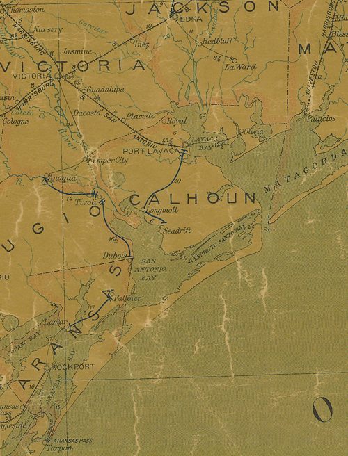
Calhoun County 1907 postal map
From Texas state map #2090
Courtesy Texas General Land Office
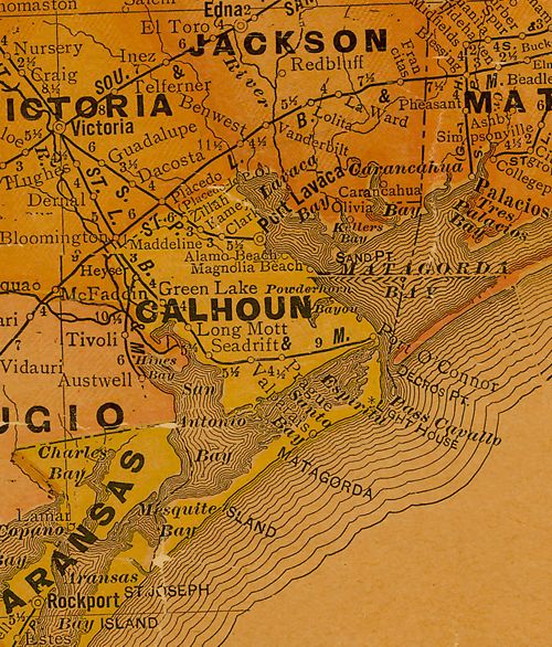
Calhoun County 1920s map
From Texas state map #10749
Courtesy Texas General Land Office
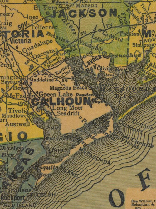
Calhoun County 1940s map
From Texas state map #4335
Courtesy Texas General Land Office
Texas Escapes, in its purpose to preserve historic, endangered and vanishing Texas, asks that anyone wishing to share their local history, stories, landmarks and recent or vintage/historic photos, please contact us.