Camp County Texas. (original) (raw)
32� 58' 12" N, 94� 58' 48" W (32.97, -94.98)
Population: 12,464 (2020)
12,401 (2010) 11,549 (2000) 9,904 (1990)
Total area 203 square miles (530 km2):
7.4 square miles (19 km2) (3.6%) water.
| |  |
| -------------------------------------------------------------------------------------------------------- |
|
| -------------------------------------------------------------------------------------------------------- |
Camp County History
1936 Centennial Marker (on US 271 about 3.5 miles N of Pittsburg):
CAMP COUNTY
Formed from Upshur County.
Created April 6, 1874;
Organized June 20, 1874.
Named in honor of John Lafayette Camp (1828-1891), soldier, lawyer, statesman, member of the Constitutional Convention, 1866; state senator in 1874.
Pittsburg, the county seat.
Camp County Town List
Cities, Towns & Ghost Towns: History, attractions, landmarks, architecture, monuments, museums, cemeteries, bridges, parks, vintage & contemporary images, area destinations, hotels, and forum.County Seat - Pittsburg
Camp County Vintage Maps
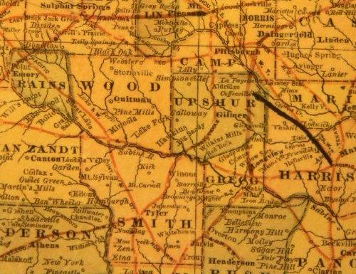
Camp County 1882 map
From Texas state map #2134
Courtesy Texas General Land Office
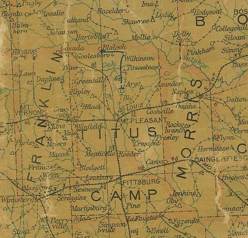
Camp County 1907 postal map
From Texas state map #2090
Courtesy Texas General Land Office
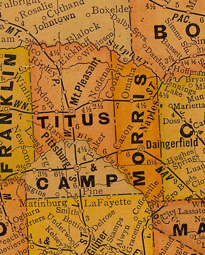
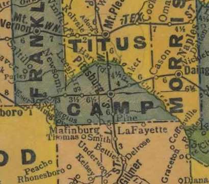
Camp County 1920s map
From Texas state map #10749
Courtesy Texas General Land Office
Camp County 1940s map
From Texas state map #4335
Courtesy Texas General Land Office
Texas Escapes, in its purpose to preserve historic, endangered and vanishing Texas, asks that anyone wishing to share their local history, stories, landmarks and recent or vintage photos, please contact us.