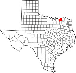
Fannin County Texas. (original) (raw)
Texas | Counties 33� 35' 24" N, 96� 6' 36" W (33.59, -96.11)
Population: 34,031 Est. (2016) 33,915 (2010)
Total area: 899 square miles (2,330 km2)
891 square miles (2,310 km2) land
8 square miles (21 km2) water
| |  |
| --------------------------------------------------------------------------------------------------------------- |
|
| --------------------------------------------------------------------------------------------------------------- |
Fannin County History
(1936 Marker on Hwy 56 roadside park east 4 miles from Bonham ):
FANNIN COUNTY
The area was first settled by Anglo-Americans who traveled up the Red River by steamboat in 1836. Fannin County was created in 1837, organized in 1838, and named for James W. Fannin (1805-36), who was massacred with his soldiers at Goliad (March 27, 1836) after surrendering to the Mexican Army. County officials first met at Jacob Black's cabin on the Red River. The county seat was moved in 1840 to Warren and in 1843 to Bois d'Arc, which was renamed in 1844 in honor of James Butler Bonham (1807-36), a hero of the siege of the Alamo.
Fannin County Town List
Cities, Towns & Ghost Towns: History, attractions, landmarks, architecture, monuments, museums, cemeteries, bridges, parks, vintage & contemporary images, area destinations, hotels, and forum.County Seat - Bonham
Book Area Hotel - Bonham Hotels
Fannin County Vintage Maps
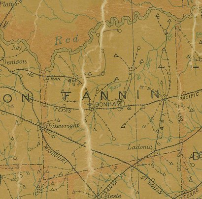
Fannin County 1907 postal map
From Texas state map #2090
Courtesy Texas General Land Office
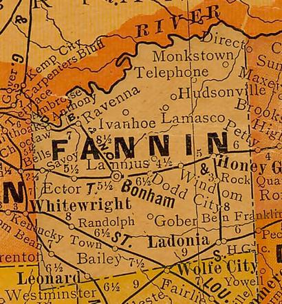
Fannin County 1920s map
From Texas state map #10749
Courtesy Texas General Land Office
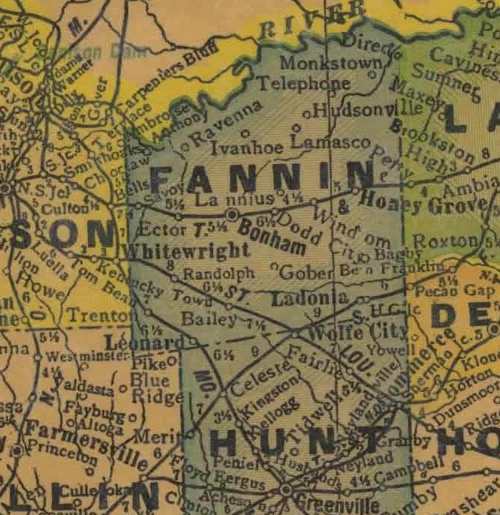
Fannin County 1940s map
From Texas state map #4335
Courtesy Texas General Land Office
Texas Escapes, in its purpose to preserve historic, endangered and vanishing Texas, asks that anyone wishing to share their local history, stories, landmarks and vintage/historic photos, please contact us.