Goliad County, Texas. (original) (raw)
Texas | Counties 28� 39' 0" N, 97� 25' 48" W (28.65, -97.43)
Population: 7,517 est. (2016) 7,210 (2010)
Total area: 859 square miles (2,220 km2)
852 square miles (2,210 km2) land
7.4 square miles (19 km2) water
| |  |
| ------------------------------------------------------------------------------------------------------------------------- |
|
| ------------------------------------------------------------------------------------------------------------------------- |
Goliad County History
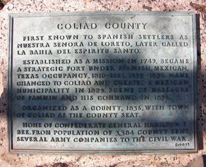
(from 1936 Texas Centennial Marker) GOLIAD COUNTY
First known to Spanish settlers as Nuestra Senora de Loreto, later called La Bahia del Espiritu Santo.
Established as a mission in 1749. Became a strategic fort under Spanish, Mexican, Texas occupancy, 1810 - 1821, 1835 - 1836. Name changed to Goliad and created a Mexican municipality in 1829. Scene of massacre of Fannin and his command in 1836.
Organized as a county, 1836, with town of Goliad as the county seat.
Home of Confederate General Hamilton P. Bee. From population of 3,384 county sent several army companies to the Civil War.
Goliad County Town List
Cities, Towns & Ghost Towns: History, attractions, landmarks, architecture, monuments, museums, cemeteries, bridges, parks, vintage & contemporary images, area destinations, hotels, and forum. County Seat - Goliad
Book Area Hotel Here - Victoria Hotels
Goliad County Vintage Maps
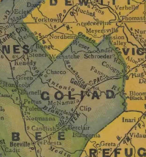
Goliad County 1940s map
From Texas state map #4335
Courtesy Texas General Land Office
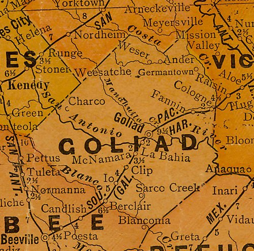
Goliad County 1920s map
From Texas state map #10749
Courtesy Texas General Land Office
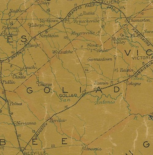
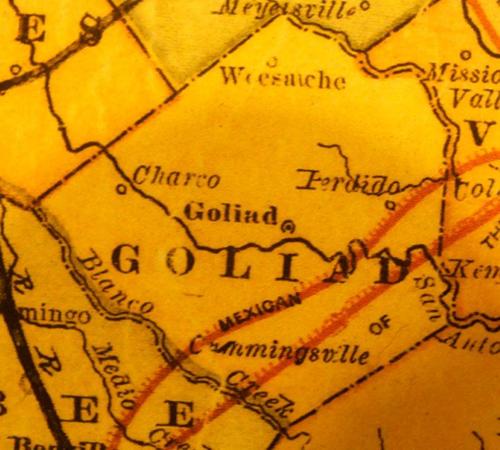
Goliad County 1907 postal map
From Texas state map #2090
Courtesy Texas General Land Office
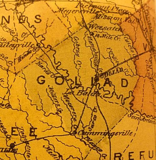
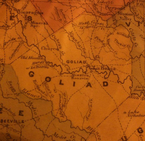
Goliad County 1874 Map
Courtesy Texas General Land Office
Goliad County 1867 Map
Courtesy Texas General Land Office
Goliad County 1858 Map
Courtesy Texas General Land Office
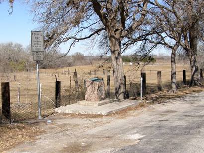
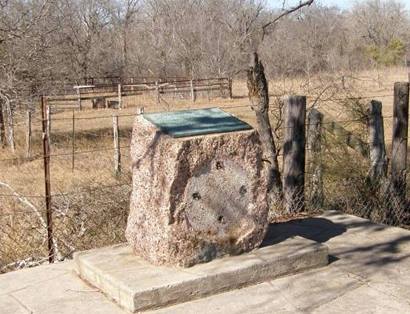
Goliad County Centennial Marker
US 59, roadside park about 4.5 miles West of Goliad
Texas Escapes, in its purpose to preserve historic, endangered and vanishing Texas, asks that anyone wishing to share their local history, stories, landmarks and vintage/historic photos, please contact us.