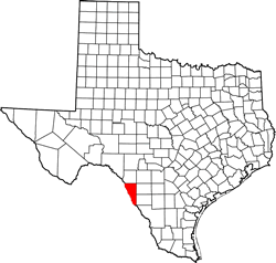
Maverick County, Texas. (original) (raw)
Texas | Counties 28�45'N 100�19'W
Population: 57,887 (2020)
54,258 (2010) 47,297 (2000) 36,378 (1990)
Total area: 1,292 square miles (3,350 km)
1,279 square miles (3,310 km) land
13 square miles (34 km) water
| |  |
| ------------------------------------------------------------------------------------------------------------------- |
|
| ------------------------------------------------------------------------------------------------------------------- |
Maverick County History
Historical marker on courthouse grounds, Eagle Pass:
MAVERICK COUNTY
Created Feb. 2, 1856, from Kinney County.
Organized July 13, 1871.
Named for Texas Revolution veteran, signer of declaration of Independence, Texas Legislator Samuel A. Maverick (1803-1870).
The county centers in an area of dairies, farming, ranching. Hard-travelled El Camino Real (path into Texas History for Louis St. Denis, Spanish Missionaries, Moses Austin and countless troops and settlers) crossed the Rio Grande near Eagle Pass, the county seat. Site of Spanish Mission ruins, military posts. Fort Duncan, now a military park, housed both U.S. and confederate troops.
(1965)
Maverick County Town List
Cities, Towns & Ghost Towns: History, attractions, landmarks, architecture, monuments, museums, cemeteries, bridges, parks, vintage & contemporary images, area destinations, hotels, and forum.
County Seat - Eagle Pass
Book Hotel Here - Eagle Pass Hotels
Maverick County, Texas
Vintage Maps
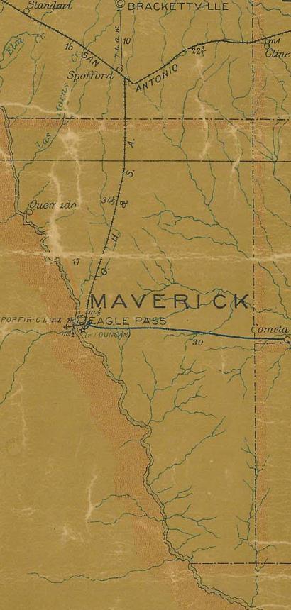
Maverick County 1907 postal map
From Texas state map #2090
Courtesy Texas General Land Office
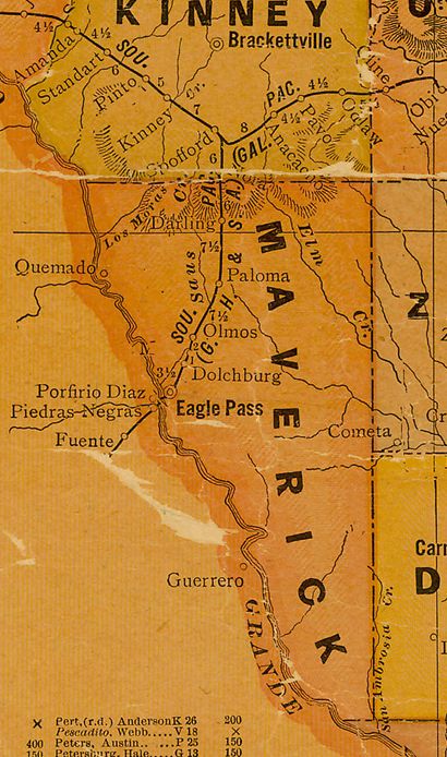
Maverick County 1920s map
From Texas state map #10749
Courtesy Texas General Land Office
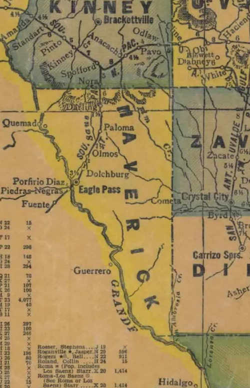
Maverick County 1940s map
From Texas state map #4335
Courtesy Texas General Land Office
Texas Escapes, in its purpose to preserve historic, endangered and vanishing Texas, asks that anyone wishing to share their local history, stories, landmarks and recent or vintage photos, please contact us.