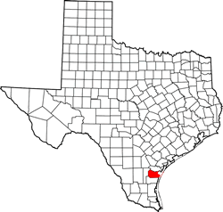
Nueces County Texas. (original) (raw)
Texas | Counties 27� 44' 24" N, 97� 31' 12" W (27.74, -97.52)
Population: 362,294 Est. (2019) 340,223 (2010)
Total area: 1,166 square miles (3,020 km2)
838 square miles (2,170 km2) is land
327 square miles (850 km2) water
| |  |
| --------------------------------------------------------------------------------------------------------------- |
|
| --------------------------------------------------------------------------------------------------------------- |
Nueces County History
(Historical marker by the old courthouse, North Mesquite and IH 37) NUECES COUNTY
Named for Rio Nueces (River of Nuts), its northern border. In 1519 Pineda, one of the first Spanish explorers, paused briefly in this area. Spain founded Fort Lipantitlan nearby in 1531. Post, named for an indian village, fell into Anglo-American hands in 1835 during Texas Revolution. Strategic value of this area (with its outlet to the sea) was recognized in 1845 when U.S. Army forces camped here en route to battle fronts in Mexican War.
County was created 1846 and organized in 1847 with Corpus Christi as the county seat.
Nueces County Town List
Cities, Towns & Ghost Towns: History, attractions, landmarks, architecture, monuments, museums, cemeteries, bridges, parks, vintage & contemporary images, area destinations, hotels, and forum.County Seat - Corpus Christi
Book Hotel Here - Corpus Christie Hotels
Nueces County Vintage Maps
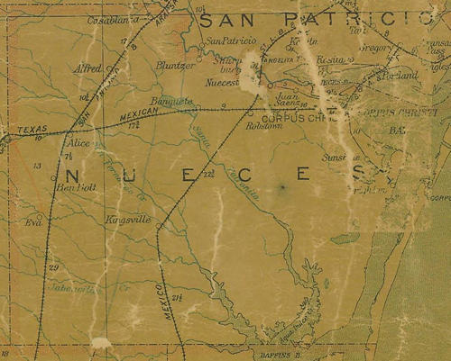
Nueces County 1907 postal map
From Texas state map #2090
Courtesy Texas General Land Office
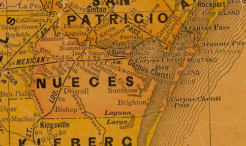
Nueces County 1920s map
From Texas state map #10749
Courtesy Texas General Land Office
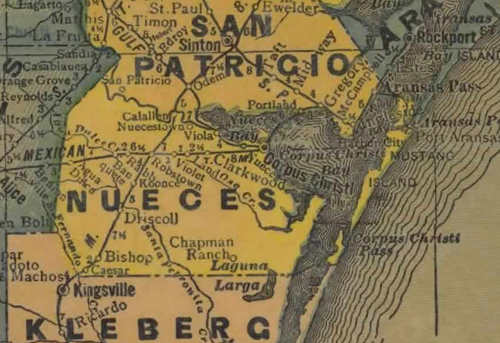
Nueces County 1940s map
From Texas state map #4335
Courtesy Texas General Land Office
Texas Escapes, in its purpose to preserve historic, endangered and vanishing Texas, asks that anyone wishing to share their local history, stories, landmarks and recent or vintage photos, please contact us.