Randall County Texas history, cities, towns, county seat, courthouse, vintage maps, hotels & more. (original) (raw)
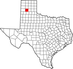
Texas | Counties 34� 58' 12" N, 101� 54' 0" W (34.97, -101.9)
Population: Est. 134,442 (2017) 120,725 (2010)
Total area: 922 square miles (2,390 km2)
912 square miles (2,360 km2) land
11 square miles (28 km2) water
| |  |
| ----------------------------------------------------------------------------------------------------------------- |
|
| ----------------------------------------------------------------------------------------------------------------- |
Randall County History
1936 Centennial Marker:
RANDALL COUNTY
Formed from Young and Bexar territories.
Created, August 21, 1876.
Organized, July 27, 1889.
Named in honor of Horace Randall, 1821-1864.
A distinguished Confederate officer who fell in battle at the head of his brigade.
Canyon, county seat.
(1936)
Historical Marker:RANDALL COUNTY
Created 1876;
named for Confederate General Horace Randall.
Settled 1877 by rancher Leigh Dyer, brother-in-law of Charles Goodnight, man who brought first cattle to Panhandle.
Organized in 1889.
County seat: Canyon.
Home of West Texas State University, Panhandle-Plains Historical Museum, Palo Duro State Park, Buffalo Lake.
(1965)
Randall County Town List
Cities, Towns & Ghost Towns: History, attractions, landmarks, architecture, monuments, museums, cemeteries, bridges, parks, vintage & contemporary images, area destinations, hotels, and forum.
County Seat - Canyon
Book Hotel Here - Canyon Hotels | More Hotels
Randall County Vintage Maps
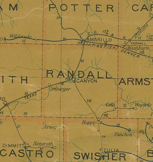
Randall County 1907 postal map
From Texas state map #2090
Courtesy Texas General Land Office
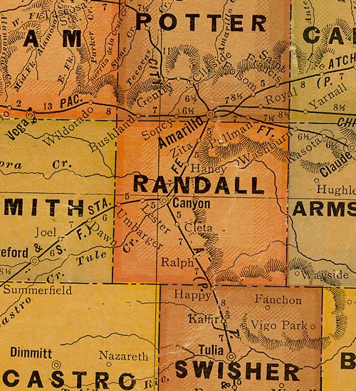
Randall County 1920s map
From Texas state map #10749
Courtesy Texas General Land Office
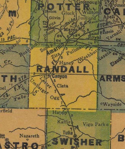
Randall County 1940s map
From Texas state map #4335
Courtesy Texas General Land Office