Real County Texas. (original) (raw)
Texas | Counties 29� 50' 24" N, 99� 48' 36" W (29.84, -99.81)
Population: 3,389 est. (2016) 3,309 (2010)
Total area: 700 square miles (1,800 km2)
699 square miles (1,810 km2) land
0.9 square miles (2.3 km2) water
| |  |
| ----------------------------------------------------------------------------------------------------------- |
|
| ----------------------------------------------------------------------------------------------------------- |
Real County History
1936 Texas Centennial Marker (at courthouse grounds):REAL COUNTY
Located on the Edwards Plateau, Real County is in an area of rolling terrain broken by the canyons of the Frio River. Because of raids by Comanche, Apache, and Lipan Apache Indians, white settlement was hindered until after 1881. Mission San Lorenzo de La Santa Cruz was founded by the Spanish in 1762 near present Camp Wood. The county was created on April 3, 1913, from Edwards, Kerr, and Bandera counties: organized on July 26, 1913, it was named in honor of Julius Real (1860-1944), a prominent businessman and state senator, 1909-1914 and 1924-1928. Leakey, the county seat, was established by John Leakey (1824-1900), a pioneer settler in the region.
(1968)
Real County Town List
Cities, Towns & Ghost Towns: History, attractions, landmarks, architecture, monuments, museums, cemeteries, bridges, parks, vintage & contemporary images, area destinations, hotels, and forum.County Seat - Leakey
Book Hotel Here - Uvalde Hotels
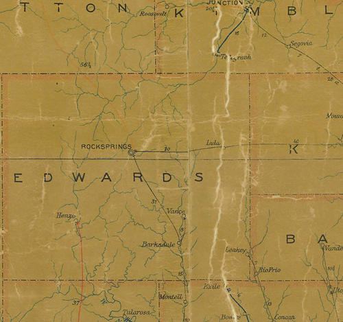
1907s Postal Map showing the part of Edwards, Kerr & Bandera County that would become Real County
From Texas state map #2090
Courtesy Texas General Land Office
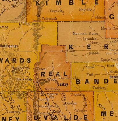
Real County 1920s map
From Texas state map #10749
Courtesy Texas General Land Office
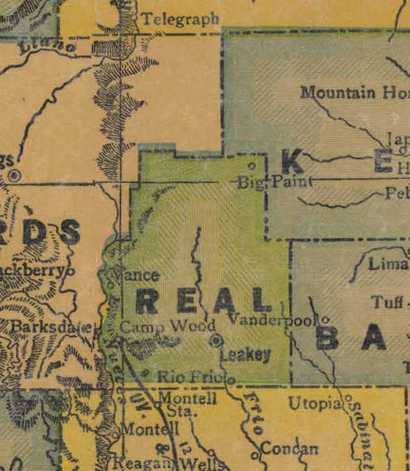
Real County 1940s map
From Texas state map #4335
Courtesy Texas General Land Office
Texas Escapes, in its purpose to preserve historic, endangered and vanishing Texas, asks that anyone wishing to share their local history, stories, landmarks and vintage/historic photos, please contact us.