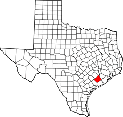
Wharton County, Texas. (original) (raw)
Texas | Counties 29� 16' 48" N, 96� 13' 12" W (29.28, -96.22)
Population: 41,735 est. (2016) 41,280 (2010)
Total area: 1,094 square miles (2,830 km2)
1,086 square miles (2,810 km2) land
8.2 square miles (21 km2) water
| |  |
| --------------------------------------------------------------------------------------------------------------------------- |
|
| --------------------------------------------------------------------------------------------------------------------------- |
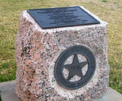
Wharton County History
1936 Texas Centennial Marker: WHARTON COUNTY
Created April 3, 1846, from Matagorda and Jackson counties,
Organized same year.
Named for William H. Wharton, 1806-1839, Texas minister to the United States 1836-1837, and his brother John A. Wharton 1809-1839. Adjutant at San Jacinto; member of Congress of the Republic of Texas 1837-1839.
Wharton the county seat.
Wharton County Town List
Cities, Towns & Ghost Towns: History, attractions, landmarks, architecture, monuments, museums, cemeteries, bridges, parks, vintage & contemporary images, area destinations, hotels, and forum.County Seat - Wharton
Book Hotel Here - Wharton Hotels
Wharton County Vintage Maps
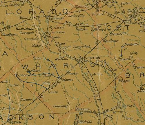
Wharton County 1907 postal map
From Texas state map #2090
Courtesy Texas General Land Office
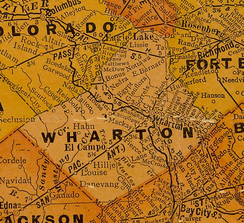
Wharton County 1920s map
From Texas state map #10749
Courtesy Texas General Land Office

Wharton County 1940s map
From Texas state map #4335
Courtesy Texas General Land Office
Wharton County Centennial Marker
Texas Escapes, in its purpose to preserve historic, endangered and vanishing Texas, asks that anyone wishing to share their local history, stories, landmarks and vintage/historic photos, please contact us.