Katy, Texas, Harris and Fort Bend Counties. (original) (raw)
At the juncture of Harris, Waller, and Fort Bend county lines
Texas Gulf Coast
29� 47' 33" N, 95� 49' 21" W (29.7925, -95.8225)
Interstate 10 and Highway 90
25 miles W of Houston
Population: 17,116 Est. (2016)
14,102 (2010) 11,775 (2000) 8,005 (1990)
Book Hotel Here › Katy Hotels
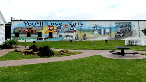
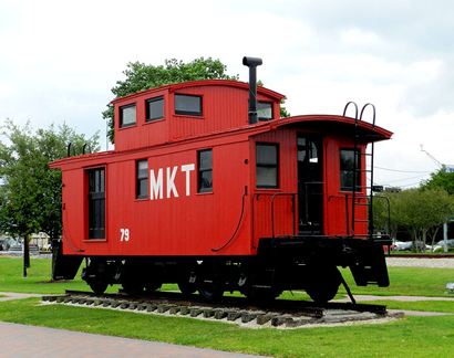
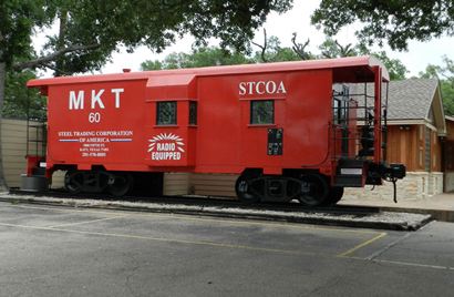
History in a Pecan Shell Named after the Katy (Missouri, Kansas and Texas) Railroad, or according to other sources, the wife of a local saloonkeeper, the town had first been called Cane Island.
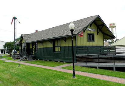
Before 1890 the local depot was operated by the Texas Western Railroad, a narrow-gauge line running west to Pattison, Texas. The depot was a mile south of the platted town site of Katy.
The Katy Railroad built through in 1893, but it wasn't until 1895 when the first railroad agent took up duties. The depot was finished three years later. The Texas Western was abandoned.
Katy had five one-room schools encircling the town until 1919 when the Katy ISD was formed.
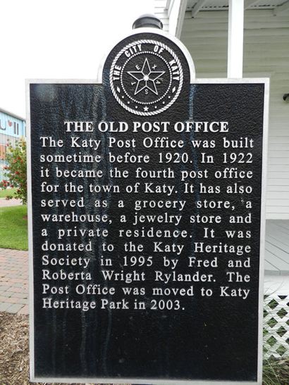
The Katy post office opened in 1896 and rice farming was introduced in 1901. It quickly replaced peanuts and corn and slowly replaced cotton.
The farming community supported several businesses: a drug store opened in 1904 when the town had 119 people. Katy soon had hotels, saloons, lumberyards, a meat market, two livery stables and a rice and peanut warehouse.
A gas field was drilled in 1934 leading to a doubling of Katy's population. From 1925 to 1942 the population was reported at 400, rising to 800 in 1943.
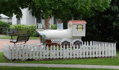
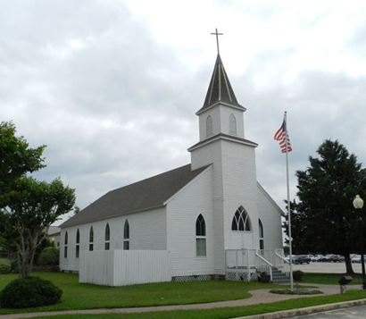
Katy, Texas Landmarks & Attractions
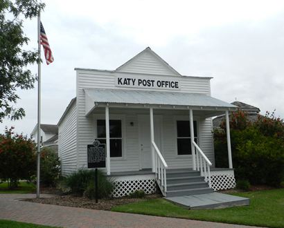
Katy Post Office in Katy Heritage Park
Photo courtesy Barclay Gibson, May 2013
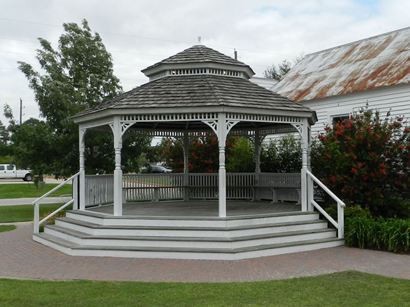
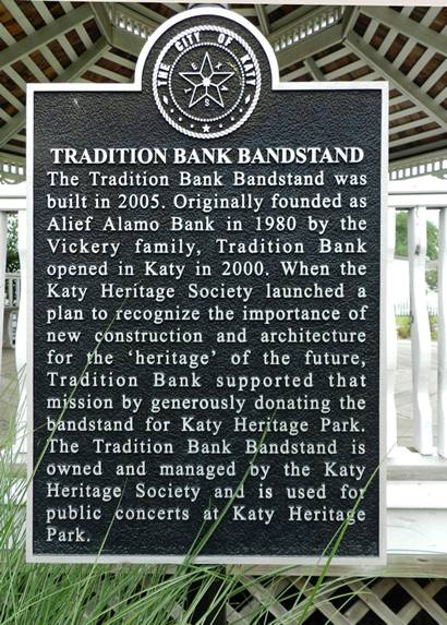
Tradition Bank Bandstand in Katy Heritage Park
Photo courtesy Barclay Gibson, May 2013
Texas Escapes, in its purpose to preserve historic, endangered and vanishing Texas, asks that anyone wishing to share their local history and recent or vintage/historic photos, please contact us.