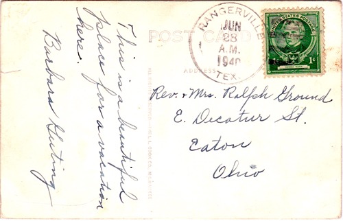
Rangerville, Texas, Cameron County. (original) (raw)
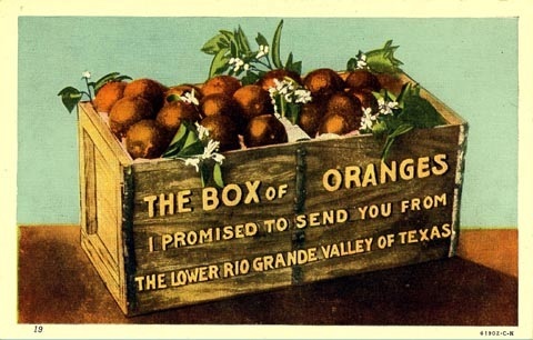
Oranges from the Rio Grande Valley
Postcard courtesy www.rootsweb.com/ %7Etxpstcrd/
History on a Pinhead
Named for a campground of Texas Rangers during the Mexican War, not much is known about the community's early history.
The population was a mere 50 in the early 1920s. A post office was granted in 1924, although it closed during WWII.
As the town developed irrigation, citrus was planted and the town became a shipping point. The population grew to 80 by the late 1940s and the 1990 census reported 280. It declined to just over 200 for the 2000 census. The 2017 official Texas State map shows the population of 308.
Included in the San Benito Independent School District
Rangerville is is included in the Brownsville-Harlingen-Raymondville and the Matamoros-Brownsville metropolitan areas.

Native Son
- The Fleeting Fame and Lasting Legacy of Bobby Morrow by Clay Coppedge
"Born in Rangerville, four miles southwest of Harlingen, in 1938, Morrow grew up on a cotton and carrot farm. He drove a tractor, worked the fields and-if the stories are to be believed-chased jackrabbits. And caught them. He was a football star at San Benito High School but a superstar on the track where he won 17 consecutive 100 and 220-yard dashes and two consecutive state championships in both events."
"He was elected to the Track and Field Hall of Fame in 1975 and the Texas Track and Field Coaching Hall of Fame in 2016."
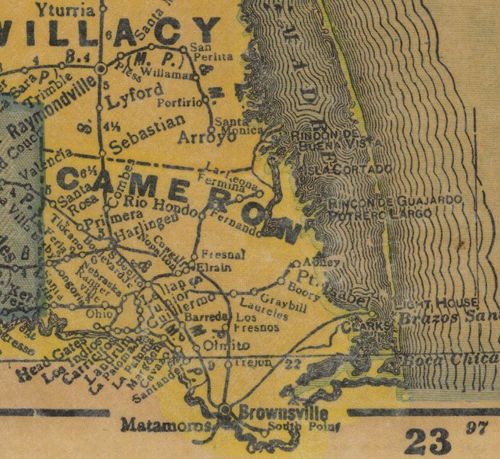
1940 Cameron County showing Rangerville
From Texas state map #4335
Courtesy Texas General Land Office
Texas Escapes, in its purpose to preserve historic, endangered and vanishing Texas, asks that anyone wishing to share their local history, stories, landmarks and recent or vintage photos, please contact us.