Sandy Point, Texas, Brazoria County. (original) (raw)
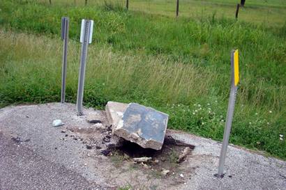
What remains of a state historical marker.
Photo courtesy Ken Rudine , July 2007
History in a Pecan Shell
In a Texas Revolutionary footnote, Sandy Point is believed to be where Mexican General Cos learned of Santa Anna's defeat at San Jacinto. The most noteworthy site in the area is the cemetery which had once been part of a huge plantation. Revolutionary soldiers, survivors of the Mier Expedition and Civil War troops are interred here.
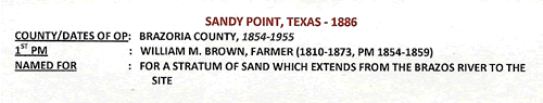
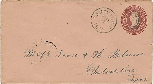
The community had its own post office from 1854 through 1930. The population in the mid 1880s was a healthy 250 residents. Sugar refining and cotton ginning were the economic engines. It declined to a mere 100 by 1914 but rose again to 200 where it stayed until after WWII. It fell to less than 100 in the late 1940s and then to a mere 30 by 1970 - the same figure that is used for the 2000 census.
Historical Marker: FM 521 about 3 miles N of Rosharon
Sandy Point Cemetery
Early county cemetery. Started before 1845. Land once part of great sugar and cotton plantations. Buried in this tract are veterans of 1836 Texas Revolution and Civil War (1861-65); also members of ill-fated Mier Expedition. Col. B. F. Terry, organizer of Terry's Texas Rangers, was formerly buried here.
(1970)
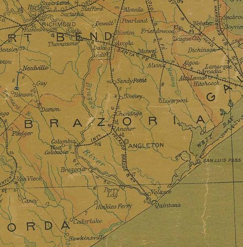
1907 postal map showing Sandy Point in northern Brazoria County
From Texas state map #2090
Courtesy Texas General Land Office
Texas Escapes, in its purpose to preserve historic, endangered and vanishing Texas, asks that anyone wishing to share their local history, stories, landmarks and recent or vintage photos, please contact us.