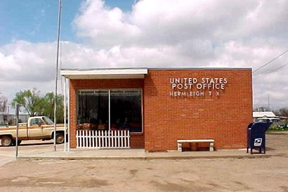
Hermleigh, Texas, formerly Wheat Texas, Scurry County. (original) (raw)
History in a Pecan Shell
The name
Hermleigh dates from 1907 with the establishment of a post office.
Formerly the post office (and a gin and two groceries) were the nucleus of a town named Wheat. It was a good no-nonsense name, but when Wheat moved - it was on land owned by R.C. Herm and Harry Harlin. They combined their names to form Hermlin, but it was disapproved by the postal authorities for fear it could easily be confused with Hamlin.
During the First World War, the town was named after French Field Marshall Foch, but after thinking about it for a few years, the townsfolk went back to Hermleigh.
The Santa Fe Railroad came to town in 1911. Six miles out of town, the First Baptist Church held its services in the old Browning School House**.**
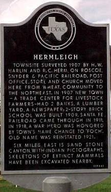
Historical Marker
On Willis Ave. & Wheat St.
Hermleigh
Townsite surveyed 1907 by H. W. Harlin and R. C. Herm, on Roscoe, Snyder & Pacific Railroad. Post office, store and church moved here from Wheat, community to the northeast. In 1907 New Town — a trade center for livestock farmers — had 2 banks, a lumber yard, a newspaper; 2-story brick school was built 1909. Santa Fe Railroad came through in 1911. In 1918, a war hero was honored by town's name change to "Foch". Old name was reinstated 1921. Six miles east is Sand Stone Canyon, with Indian pictographs. Skeletons of extinct mammals have been excavated nearby.
(1966)
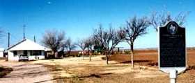
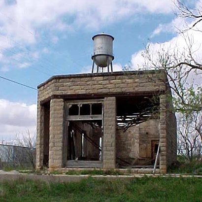
A Scurry County farm house &
The historical marker for Wheat, Texas
the town that evolved into Hermleigh
Photo courtesy Charlene Beatty Beauchamp , 2001
Historical Marker
On FM 644, 1 mile N of Hermleigh
Former Town Site of Wheat
Small farming community that grew up here in the late 1880s. Received its name because of a bumper wheat crop the year the U. S. Post Office opened -- 1890. Two postmasters served here: Minerva Thomas and G. W. McCall. A school, which doubled as a church, was built a half mile west on southeast corner of adjoining section of land. When Roscoe, Snyder & Pacific Railroad was built through the area in 1907, residents moved two stores and a gin to newly surveyed townsite of Hermleigh to have access to the railroad.
(1972)
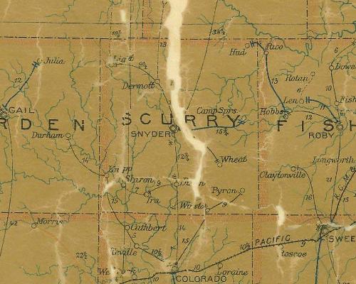
1907 postal map showing Wheat in SE Scurry County
From Texas state map #2090
Courtesy Texas General Land Office
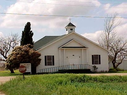
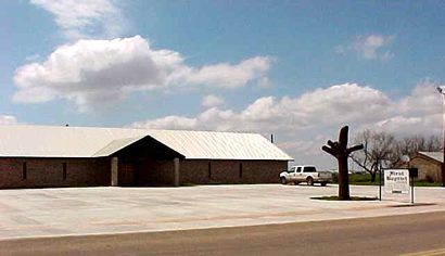
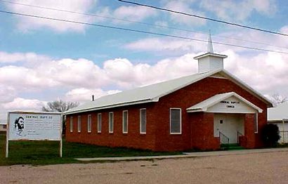
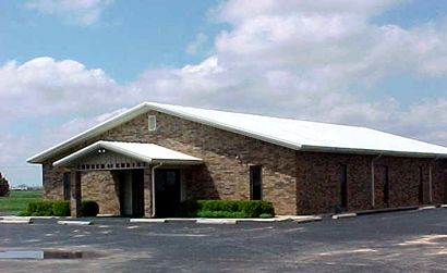
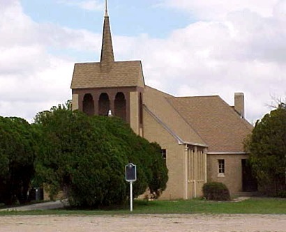
Hermleigh, Texas Churches:
Texas Escapes, in its purpose to preserve historic, endangered and vanishing Texas, asks that anyone wishing to share their local history, stories, landmarks and recent or vintage photos, please contact us.