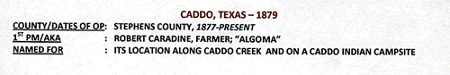
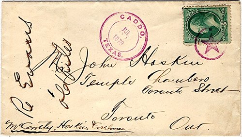
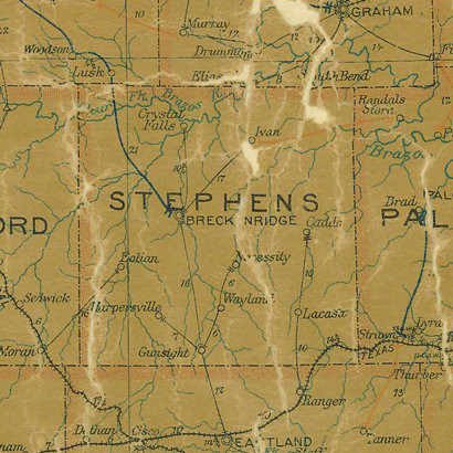
Caddo, Texas, Stephens County. (original) (raw)
History in a Pecan Shell
The name comes from its being located on a former Caddo Indian campsite. Founded in the 1870s, the town had 60 people ten years later.
During that time the town also had a school, and post office. It grew to 75 in 1890 and when the new century arrived there were only about 150 people.
Oil was discovered on one property in the area in 1916, and then on another. These minor finds kept oil men focused on their hunt and when the Ranger/Breckenridge boom occurred (1916-1917) the population jumped to 1,000 by 1920.
After the boom ended, the population declined to 600 in 1940. It's been downhill ever since and less than 100 people now live in Caddo, although the town has managed to keep its post office. It is still shown on the TxDoT county map of Stephens County.
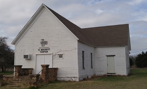
Caddo Texas VF & Community Center
Photo courtesy Dustin Martin, March 2017
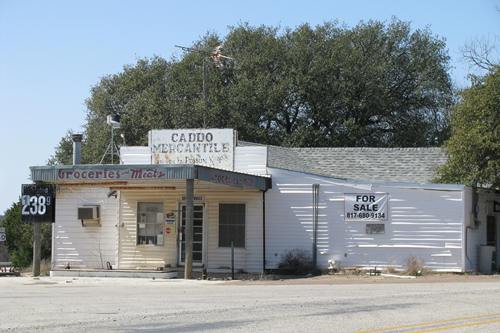
Caddo Mercantile
Photo courtesy Mike Price, March 2010
Photographer's Note:
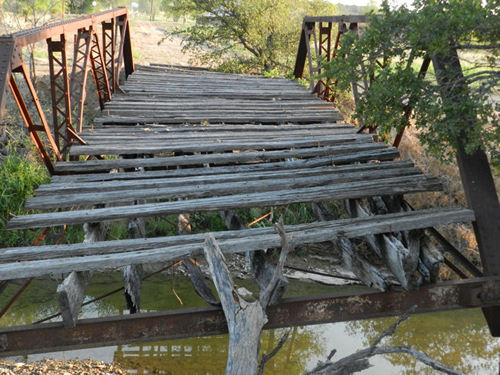
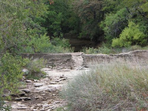
"This pony bridge is/was located just south of SH 252 at Caddo as of August, 2013. Google Satellite, dated 1/16/2015, shows it in the process of being removed." - Barclay Gibson
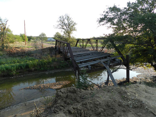
Caddo Pony Bridge
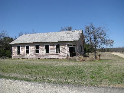
The one-dormer house seen in this photo is on SH 252 at Park Rd 33.
Photo courtesy Barclay Gibson, August 2013
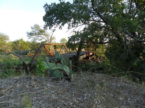
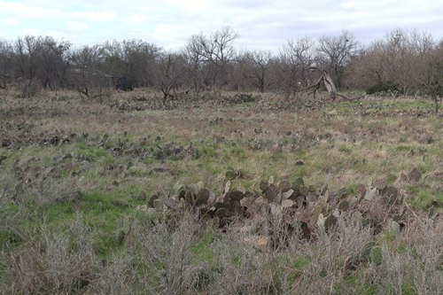
Caddo Creek
TE photo, September 2009
Texas Escapes, in its purpose to preserve historic, endangered and vanishing Texas, asks that anyone wishing to share their local history, stories, landmarks and recent or vintage photos, please contact us.