Wild Horse, Texas, Culberson County. (original) (raw)
History on a Pinhead
Four things are known about Wild Horse, Texas:
It was named for the nearby creek of the same name. (See map.)
It appears on both a 1920 and 1940 state map.
It maintained roughly the same number of people from the 1960s through the 1990s (34-35).
The "population" is scattered.
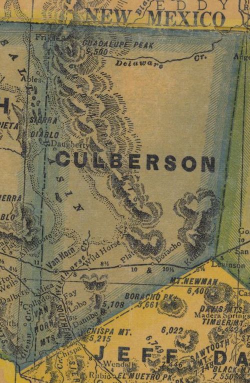
1940s Culberson County map showing Wild Horse & Wild Horse Creek
From Texas state map #4335
Courtesy Texas General Land Office
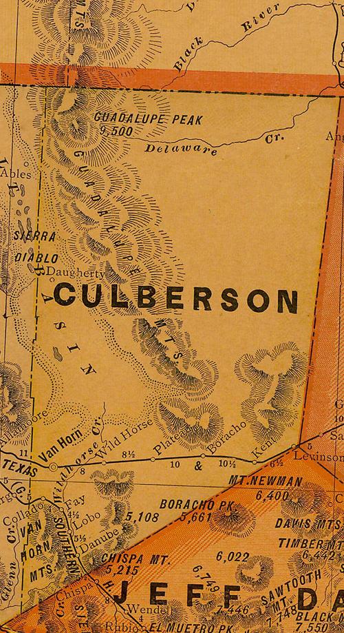
1920s Culberson County map showing Wild Horse & Wild Horse Creek
From Texas state map #10749
Courtesy Texas General Land Office
Texas Escapes, in its purpose to preserve historic, endangered and vanishing Texas, asks that anyone wishing to share their local history, stories, landmarks and recent or vintage photos, please contact us.