Ahsikent is great ruined city in Fergana valley (original) (raw)
Ahsikent (Aksikent)
Aksikent (Aksikent, Ahsikat, Axsikat, or Ahksikent) city ruins are located 22 km southwest of Namangan, near the junction of the Syr Darya and Kasansai rivers in the Namangan region of Uzbekistan Fergana Valley. It is a large walled mud brick made city that once held an area of more than 25 hectares and when the city was at its height from 9-12 centuries AD, under the Samanid rule, the border wall was 18 km long. The city had an irrigation system, pools and a lot of skilled metal production and was a greatly wealthy city according to the historians that visited it at the time. Aksikent can also be easily visited during one of our Uzbekistan Tours.
History of Aksikent
Aksikent was also known as Akhsi and was well established by the 3rd century BC, making it as old as the Afrosiyab in Samarkand. (Neighboring Kyrgyzstan also has a same named region just north from Namangan.
As many old cities in Central Asia, also Ahsikent was conquered several times and was part of different states in its history. The Chinese commander Li Guanli laid siege on Aksikent with his army of 60 000 soldiers for 40 days in 103 BC in an attempt to gain control of the surrounding territory and in particular its famed blood-sweating or heavenly horses (Some sources claim that they were the Akhal Teke horses).
Ahsikent was conquered firstly by the Kushans and then by the Turks. In the medieval period, Aksikent was a caravan route stop between Kashgar to Byzantium and regionally produced goods were traded as far away as Baghdad and Damascus. The city nevertheless grew rich on the profits of trade and by the 10th century and was one of the major cities in the Fergana Valley. Till the 13th century it was the capital of the Fergana Valley. The decline of Ahsikent started when the city was twice ruined by the Mongols and was finally destroyed by a high magnitude earthquake in 1620.
Ahsikent Site
Aksikent was split into three parts. In the center was the citadel, surrounded by the shahristan (the main city) and beyond that was the rabad (suburbs). All the buildings were enclosed by walls made from mud bricks. The central citadel housed a mosque, a bathhouse, and the governor’s palace, as well as a zindan (prison).
There is also archeological evidence of watchtowers, trading domes, hostels, a large market and a hauz (drinking water reservoir). The craftsmens’ area of Aksikent was placed in the rabad with the common folk. The metal workshops were particularly important. Aksikent was the largest city in the area and with Merv in Turkmenistan, one of the few places in Central Asia where the very high-quality crucible steel known as Damascus steel is known to have been produced.
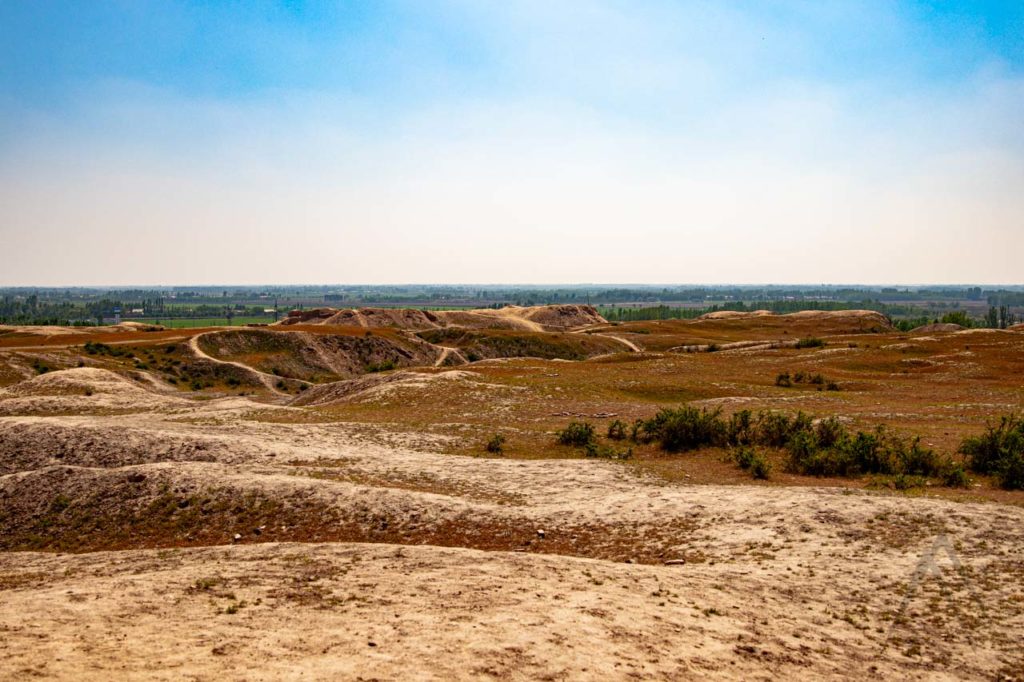
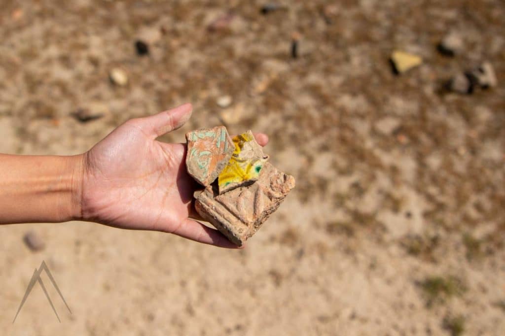
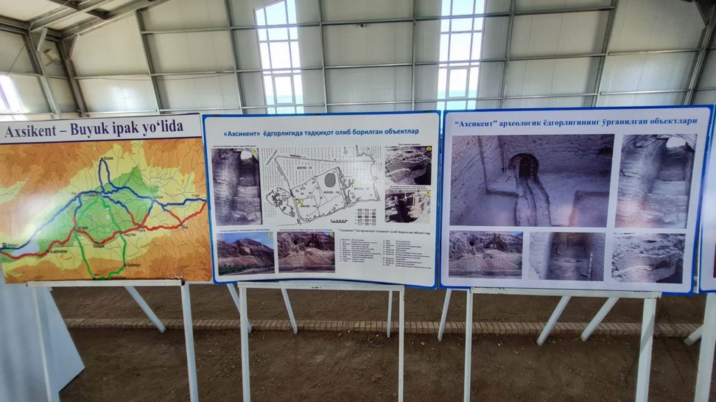
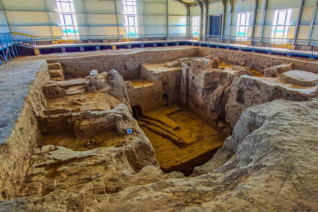
Most of the Aksikent site is not yet excavated and can be walked freely. There are pieces of pottery and even skillfully carved glazed brick decorations spread around everywhere! In the western part of the ruins there are some excavations covered by a museum building where you can see the multi layered structure of the city and you can get an understanding of the size and complexity of the city. There is also some written information available telling about the findings, but mostly only in Russian or Uzbek languages.
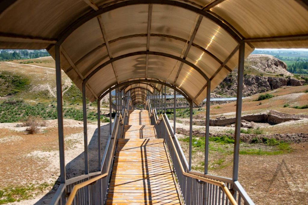
There is also a covered walking path leading to Aksikent from a parking place next to the road that crosses the Syr Darya and goes through the ancient city. Otherwise the site is a large pile of mud with some shapes of old structures visible. Still it can be a nice spot to stop on the way between Kokand and Namangan and to imagine how life was in Fergana valley in the past.
