Archive — CIMSS Satellite Blog, CIMSS (original) (raw)
This website works best with a newer web browser such as Chrome, Firefox, Safari or Microsoft Edge. Internet Explorer is not supported by this website.
Category: VIIRS
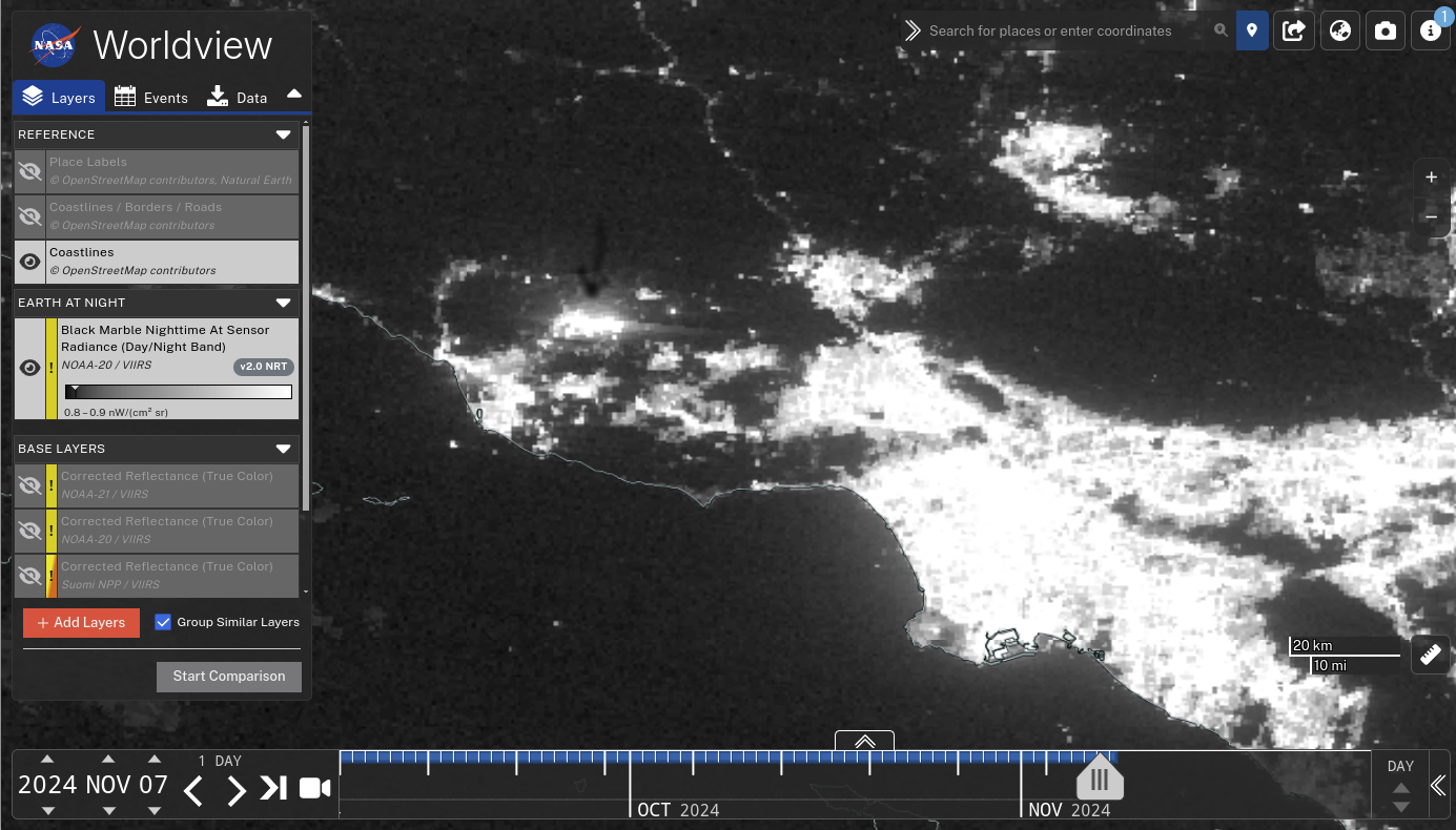
Day Night Band imagery of the Mountain Fire
Day Night Band imagery from NOAA-20, below, captured from the NASA Worldview site, shows a great increase in emitted light associated with the Mountain Fire on 7 November over Ventura County, CA, to the north of Los Angeles. This occurred during a time with little lunar illumination — when moonlight is available, the smoke plume... Read More
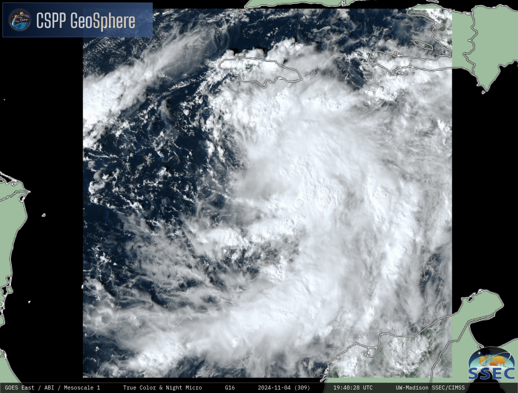
Rafael in the Caribbean
By Scott Lindstrom • 5 November 2024
The area of convection that has been percolating within the Caribbean has acquired sufficient organization and speed to be named Tropical Storm Rafael (at 2100 UTC on 4 November, near the end of the animation, above, created at the CSPP Geosphere site). The storm is approaching the island of Jamaica where Tropical Storm Warnings are in effect.1-minute... Read More
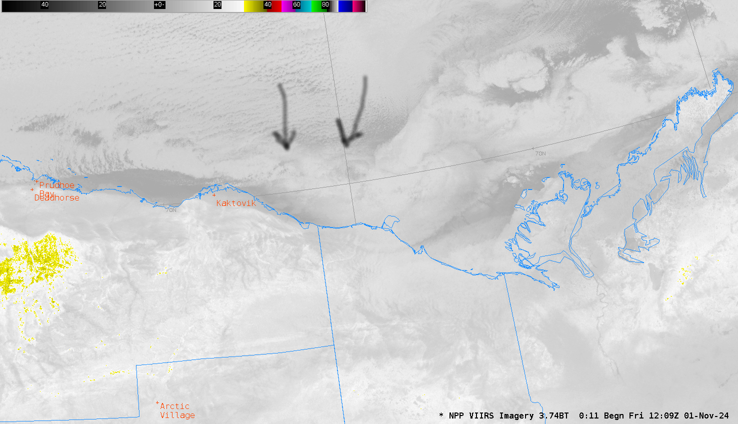
Mesoscale Vortex in the Beaufort Sea
By Scott Lindstrom • 1 November 2024
To the CIMSS Inbox, From to the Alaska Ice Desk:I noticed what I think are a pair of mesoscale convective vorticies forming on a boundary in the southeastern Beaufort Sea between the Mackenzie River Delta and the ice pack where there's still open water. I don't think there's much impactful... Read More
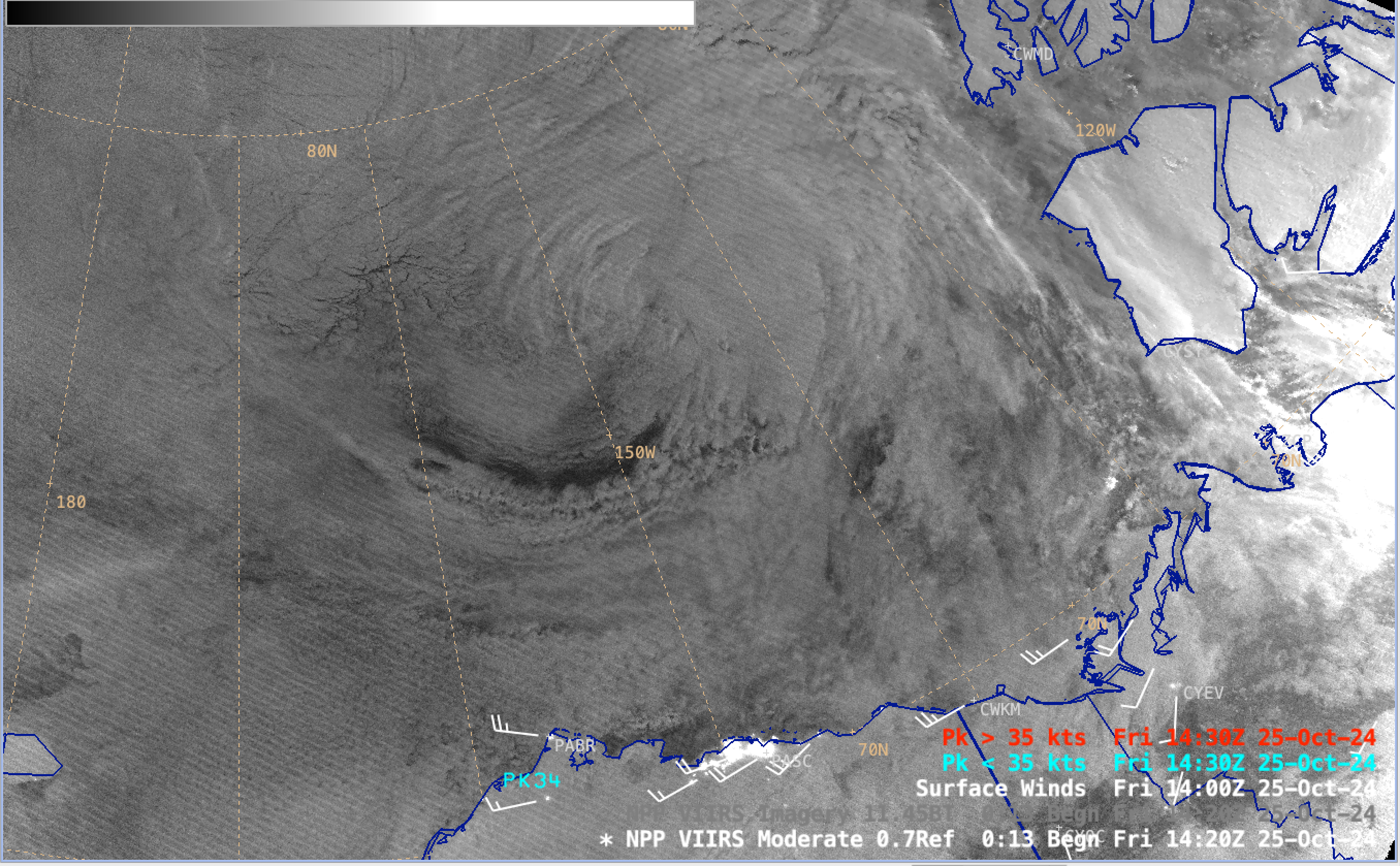
Strong winds south of a low pressure system in the Beaufort Sea
By Scott Bachmeier • 25 October 2024
A sequence of Suomi-NPP VIIRS Day/Night Band (0.7 µm) and Infrared Window (11.45 µm) images (above) showed the cyclonic swirl of clouds associated with a low pressure system that was moving eastward across the Beaufort Sea on 25 October 2024. The relatively tight pressure gradient south of this low (surface analysis)... Read More


