Mount Hood (original) (raw)
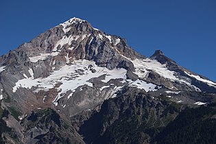
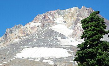
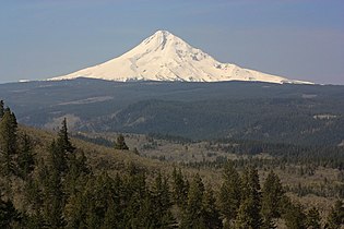
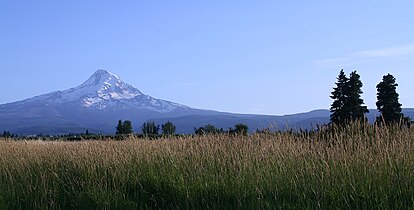
Deutsch: Der Stratovulkan Mount Hood liegt ca. 70 km östlich von Portland. Mit 3.425 m ist er der höchste Berg in Oregon und der vierthöchste der Kaskadenkette.
Français : Mount Hood est un stratovolcan endormi situé dans le nord de l’Oregon, au nord-ouest des États-Unis. La montagne est à environ 100 km (60 miles) à l’est de Portland. Ces pics couverts de neige marquent la frontière entre les comtés de Clackamas et de Hood River. C’est le plus haut sommet de l’Oregon et le 4 de la fr:Chaîne des Cascades. On peut voir facilement la montagne depuis Portland et Vancouver, ville de l'état de Washington.
Slovenčina: Hood môže byť:
Slovenščina: Hood je lahko:

 Mt. Hood and Mirror Lake
Mt. Hood from Mirror Lake Oregon
from Bald Mountain
 from Bald Mountain
from Timberline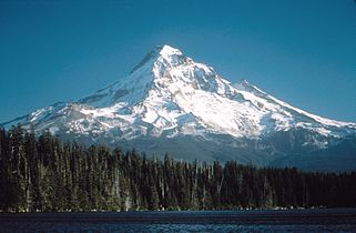
Lost Lake, ca1985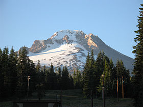

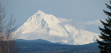
Mount Hood (Oregon)
Mount Hood seen from the south. Crater Rock, the remnants of a 200-year-old lava dome, is visible just below the summit.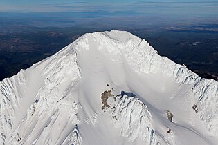
Aerial photograph of Mount Hood's summit
Sunset, Trillium Lake

Portland and Mount Hood


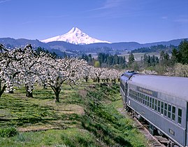
Mount Hood Railroad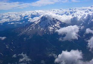
Mt. Hood from a passenger jet, 7-19-2007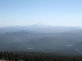
View from the peak of Mount Hood
Mt. Hood at sunrise
Mount Hood seen from Portland
Mount Hood from Parkdale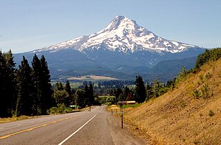
North side of Mount Hood as seen from the Mount Hood Scenic Byway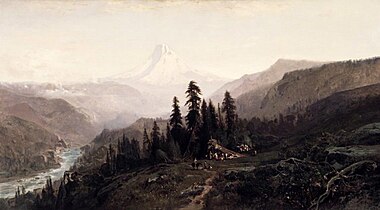
Mount Hood, Oregon: painting by William Keith in the Brooklyn Museum

as seen from Warm Springs Reservation)
 Mt. Hood and Sandy River from Jonsrud Viewpoint

Mount Hood as seen from Timothy Lake
An aerial panorama of Mount Hood and Lolo Pass from above Lost Creek
East side of mountian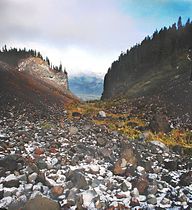
Glaciated valley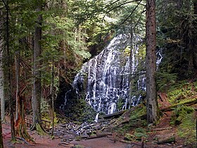
Ramona falls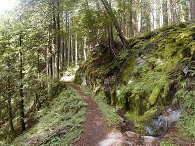
Temperate rain forest
Early summer panorama of aerial photos of the mountain's crater.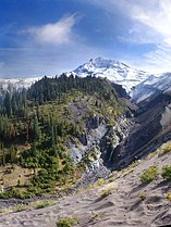
Sandy River head waters, from the Reid glacier
