Home (original) (raw)

Ready to become a part of the revolution?
Explore the vast information ahead. Let our team guide you through satellite capabilities.
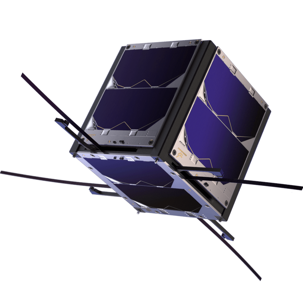
Exploring the infinite opportunities.
Analyzing data using advanced AI-powered data analytics models based on business needs.
Merging archived satellite images with the newest ones to provide instant response and predict future scenarios.
Making use of satellite images through the latest technologies and approaches aimed at meeting business needs
Oman; a haven for high levels of stability and safety to maintain the rapid demand of satellites & technology.
Use Cases In Oman
Actual applications of our CubeSat in various locations in Sultanate of Oman, and its capabilities based on each field of work.

Urban Monitoring & Planning
A clear understanding of the overall country infrastructure to take advantage of monitoring the variations and investments in the urban development planning, without neglecting air quality of each land.

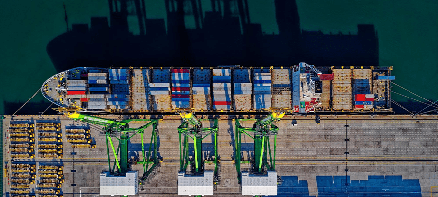
Maritime & Oil Spills
Keep track of the state of our seas; eliminate the human risks in identifying issues related to sea shipment trafficking, plastic pollution detection, as well as looking out for illegal fishing areas and the ability to regulate them as required.
Natural Ecosystems
Enable tracking and study of various Oman wildlife, such as oryxes, gazelles and rams, to understand their behaviors and oversee overall existence from extinction.

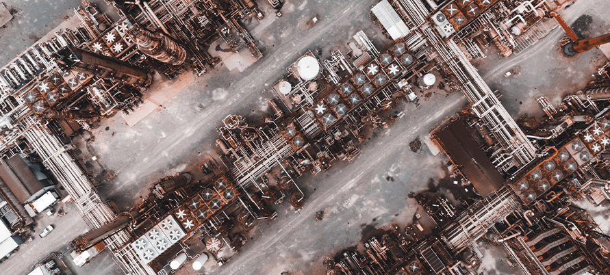
Gas Leaks
Emphasizing on the application of oil & gas industries to bring new understandings of safety in regards to identifying potential spills or leaks. Gaining the ability to fully examine pipes’ efficiencies to further understand and avoid unwanted ruptures within each pipeline.
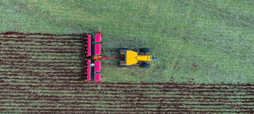
Agriculture
Remote sensing data to identify each land, the level of vegetation and integrating Satellite’s high-end imagery with today’s farming technologies to advance in crop quality by data collection to compare between different seasons.
Urban Monitoring & Planning
A clear understanding of the overall country infrastructure to take advantage of monitoring the variations and investments in the urban development planning, without neglecting air quality of each land.

Explore a world of possibilities
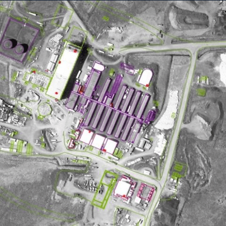
Oil & Gas Infrastructure
Monitoring pipeline constructions to optimize investment costs and phases of construction. Top of the line imagery to capture overall energy infrastructure, prevention & proper intervention in all sorts of oil spills and gas leaks on-land or in-sea.
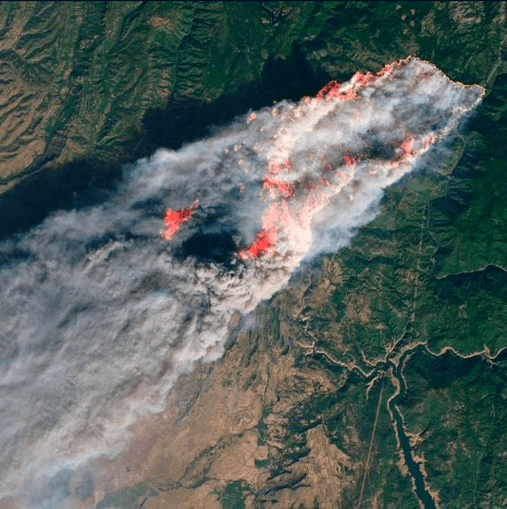
Environmental Monitoring
A proper time-line of various parameters needed to control and predict vast environmental changes such as temperature, humidity, overall water quality and drought detection, as well as air quality monitoring to forecast and quarantine diseases at early stages & preventing natural disasters.

Logistics & Transportation
Accurately track and gain frequent updates on assets in any location. Through this new technology, you can expand your reach by allowing off-grid terrains, such as mountains and deserts, to be completely visible and traceable with ease.
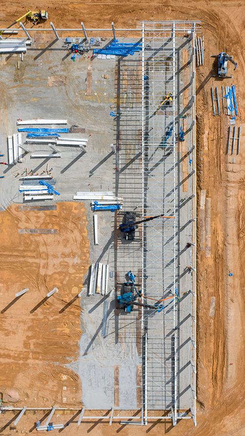
Land Insurance
Utilizing high-end imagery analysis, assets can be categorized based on their previous state to better understand each site, how to adjust the different level of terrains and assess damages by delivering appropriate claim payouts with automated alerts.
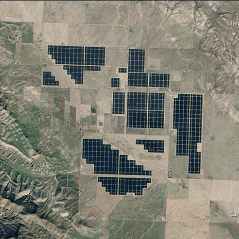
Energy Assets Monitoring
By asset planning, management and monitoring from space to record and visualize energy consumption, this innovative technology will reduce costs and emissions, as well as the need for human inspections to predict maintenance schedules. Plan each part of a city to enable advanced decision support and risk management.
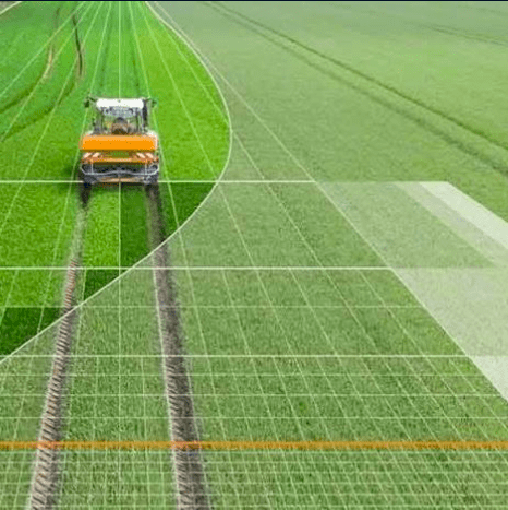
Precision Agriculture
Through managing, observing, and measuring agriculture, precision agriculture is a state-of-the-art solution that delivers novel insights in new agricultural informatics, enhancing food and water security efforts, and control nitrogen levels to enrich crop’s environment. This emerging potential will boost farming management, crop quality and informed in-field decision making to further enable rapid growth.

Aman Mission
Oman’s first satellite allows us to predict, examine and resolve endless opportunities in technology, which includes design and manufacturing, software development, integration & launch, operation & sustainment, data acquisition and AI driven analytics.