ICESat-2 (original) (raw)
Ice, Cloud, and Land Elevation Satellite 2
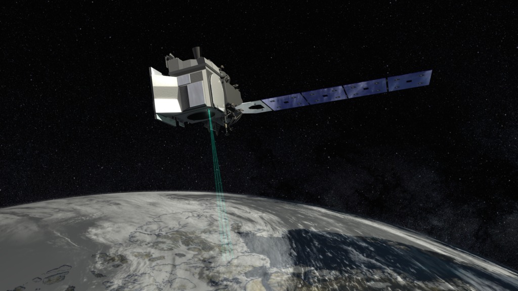
ICESat-2 measures the height of a changing Earth, one laser pulse at a time, 10,000 laser pulses a second.
Objective
Measure the elevation of ice sheets, glaciers, sea ice and more
Experience Earth, our solar system, nearby asteroids, the universe, and the spacecraft exploring them with immersive real-time 3D web-based apps for Mac, PC and mobile devices. No download or sign up necessary.
NASA/JPL-Caltech/VTAD
Keep Exploring