OS Maps app | Digital map app (original) (raw)
Get more from the outdoors with OS
Whether you are planning a walk, hike, run or ride; OS Maps let’s lets you create more adventures with trusted mapping, routes & navigation tools created by Ordnance Survey.
Choose a subscription

OS Maps Premium
Monthly Subscription
£6.99
Subscription billed monthly. Cancel any time.

OS Maps Premium
Annual Subscription
£34.99
Equivalent to £2.91/month
Subscription billed annually. Cancel any time.

OS Maps Premium
Two Week Free Trial
Annual subscription £34.99/year
14 Days Free
Subscription billed annually after free trial period. Cancel any time. Only available to new subscribers.
For gift subscriptions and more: click here to see all subscription options.
What's inside OS Maps Premium?
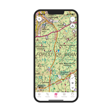
All the mapping you’ll ever need!
Use world-renowned Ordnance Survey mapping with unlimited use of every OS Explorer and OS Landranger map for the whole of Great Britain. That’s instant access to 607 maps to view, print, or download to your phone - all included in your subscription.
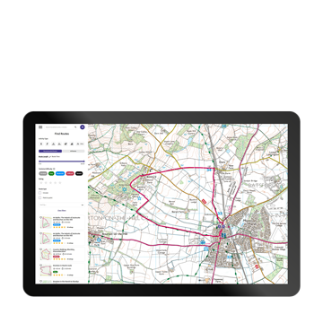
Find routes all over Great Britain
Discover hundreds of thousands ready-made routes at your fingertips. Simply open the OS Maps app and instantly start finding local routes nearby. You’re never far from a great route. You can also create and plot your own routes so you can explore the way you want to.

No signal?
No problem
Download maps and routes to your phone so you can use them wherever you go, even if you have no phone signal in an area.
Always have a backup
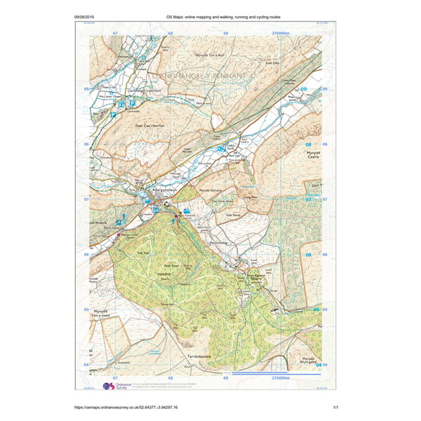
Print out your own custom routes and maps to take with you so you are never stuck without a map. You can choose the scale, orientation and size that suits you.
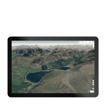
Visualise your routes in 3D
Explore anywhere in Britain with the Aerial 3D layer. Fly-through a route to get a good understanding of the terrain, find the best viewpoints and discover nearby points of interest.
Features
| Feature | Free | Premium |
|---|---|---|
| OS Standard mapping | ||
| Plot, record and follow routes | ||
| Find 1000s of partner routes | ||
| Plot with snap-to-path | ||
| Download offline maps | ||
| Access to all 607 OS Leisure maps | ||
| Import GPX | ||
| Unlimited map printing | ||
| Topographic maps for USA, NZ & AU | ||
| Free Trial | Subscribe |

"OS Maps, I use it all the time. I can roll out of bed and go on an amazing walk."
Dan Snow, Broadcaster and Historian
