Gillikin Geography (original) (raw)

I’ve already written about the other three (four, if you count the Emerald City territory) segments of Oz, and even though I haven’t gotten much if any response to them, I’ve had fun writing them. So here’s the last of them, the northern Gillikin Country. This is the only one of the major segments that didn’t appear in The Wonderful Wizard of Oz. L. Frank Baum mentions a few times that it’s the wildest of the Ozian lands, and he doesn’t use it all that much.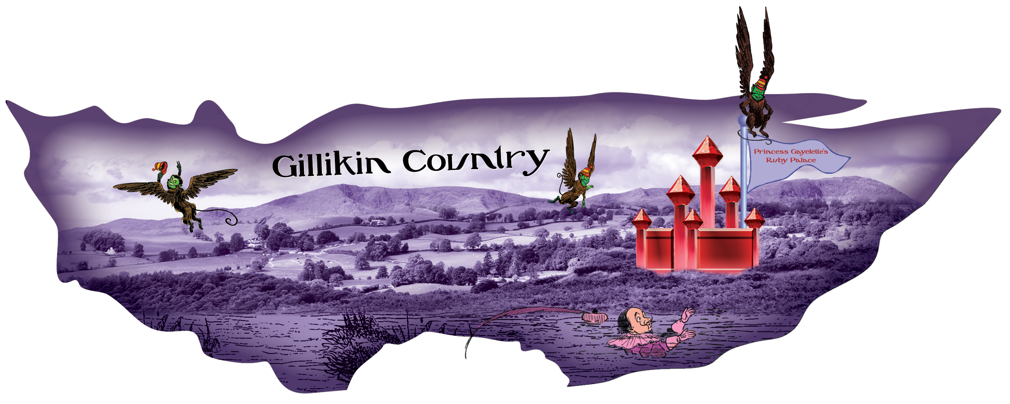
After its introduction in Land, it’s largely ignored until his last three books, in which Baum seems to have been making up for never developing the northern country. In Tin Woodman, the main characters stick to the the southern part of the Gillikin Country, trying to avoid Emerald City territory. They walk through wild and uncultivated fields before visiting Loonville, then crossing Rolling Lands, “a succession of hills and valleys where constant climbs and descents were required.” Much of Magic takes place in the Forest of Gugu, “the biggest forest in all Oz,” which “stretches miles and miles in every direction.”
Just to the east is “a range of rugged mountains covered with underbrush and small twisted trees.” When crossing the country to rescue Trot and Cap’n Bill, the Glass Cat, Dorothy, and the Wizard of Oz find there’s a broad plain to the east of the mountains, then a forest much smaller than Gugu’s, identified as the “especial home” of the Kalidahs. These places all appear on Baum’s map, and it appears that a bit of the Forest of Gugu extends into the Winkie Country. Then, in Glinda, the Sorceress and her party get to the the Isle of the Skeezers by traveling through the Winkie Country, then cutting over through the Great Gillikin Forest, “the nearest thing to a wilderness in all Oz.” It’s not clear whether this is another name for Gugu Forest or a different wood, but the former seems more likely considering the map. The Oz Club map makes it a different forest, and also reduces the size of the Forest of Gugu to fit in more locations. In Hugh Pendexter’s Crocheted Cat, the ruler of the Great Gillikin Forest is an elephant named Magnus, possibly because Magic, and hence King Gugu, was still under copyright when that book was published.
Ruth Plumly Thompson made more use of the Gillikin Country, which she often spelled “Gilliken” for some reason. Maybe it was so two quadrants wouldn’t have the exact same ending, but I don’t know. In Scalawagons, John R. Neill spelled it “Gillikan,” but fortunately later authors didn’t use “Gillikon,” “Gillikun,” or “Gillikyn.” In Thompson, the primary Gillikin location is Pumperdink, which she placed in a valley in the north central mountains on Baum’s map. Kabumpo makes the journey from Pumperdink to the Emerald City and back several times, starting in his own book when he he goes through Rith Metic. In Lost King, he’s on his way to the capital when he comes across Dorothy and Humpy, with no indication as to whether he had any adventures on the way. He identifies Kimbaloo as “a buttony sort of place across the mountains from Pumperdink,” and later returns Snip there since it’s on his way back. According to Thompson’s map, it’s actually a little to the west of a straight path from the Emerald City to Pumperdink, but presumably the elephant wants to avoid the mountains. The boys from Kimbaloo use the King’s Highway to sell their buttons, and there’s also a mention of a King’s Highway in Pumperdink in Purple Prince. Considering how many kings there are in Oz, there might well be a lot of different King’s Highways there. I recall seeing a suggestion that these could be the same road, however, and I used this idea in one of my own stories. In Purple Prince, Kabumpo is swept underground by the River Road while on his way south, but General Quakes avoids this on his own journey.
By the time of Eloise Jarvis McGraw’s Forbidden Fountain, the Elegant Elephant has made the trip between his home country and the capital many times, but is once again taken out of his way, this time by a wind-up dump truck.
Purple Prince introduces another significant Gillikin kingdom, Regalia, located in “the far northwestern [presumably meaning “northeastern,” considering Thompson’s directional mix-up] corner of the Gilliken [sic] country.” This location is reflected on her map, but in Silver Princess Kabumpo takes “the highway to the north” from Regalia and travels through Gaper’s Gulch and Headland before reaching the desert, so James E. Haff and Dick Martin moved Regalia slightly to the southeast.
Either way, I’m not sure how General Quakes could have seen Randy “sneaking down from the mountains,” since his home doesn’t appear to be visible from Pumperdink. Maybe there are other mountains between these places, though. In Handy Mandy, Nox the Ox confirms that the Gillikin Country has “mountains galore.” The central range is presumably the location of UpTown, which becomes the Gillikin capital at the end of Giant Horse. The Peaks of Passepartout from Forbidden Fountain are also in these mountains. North of Pumperdink were the Stayaway Mountains surrounding Fyordi-Zik, at least until Glinda removed them so this country could interact with the rest of Oz. Also in this area, at least according to the Oz Club map, are Queen Orin’s old home of Gilkenny and Wumbo the Wonder Worker’s hideout in Zamagoochie. The Cold Snap Mountains, identified in Melody Grandy’s “Abra Kadabra” as being “in the northernmost part of the Gillikin Country,” are probably around there as well. They might have a different name now, however, as Ozma thaws them at the end of the story.
Other landmarks bear mentioning as well. According to Eric Shanower’s “Gugu and the Kalidahs,” the Great Grey Gillikin Swamp from Blue Witch is north of the Forest of Gugu. The map in Adventures, however, seems to have the two main forests in the Gillikin Country mixed up, and the swamp appears to be to the north of the Kalidah Woods instead. Lost King has Mombi, Snip, and Pajuka cross a “sparkling inland sea,” presumably a sea rather than a lake because the water is salty, but then so is the water of Lake Orizon. The maps don’t really show it as being that big.
According to the map in Enchanted Island, Somewhere and Dwindlebury are on the opposite shore from Catty Corners. Forbidden Fountain introduces the Bordermoor, located between the Gillikin and Winkie Countries, where things are both purple and yellow and the Purple Wolf claims to rule.
Most of Gina Wickwar’s Toto takes place in the Gillikin Highlands and Lakes District, both to the south of Pumperdink.
The latest version of the Oz Club map makes a connection Wickwar didn’t by placing the Isle of Sandwich in the Soup Sea. Oddly, Thompson’s own map places the Soup Sea in the Munchkin Country, even though Kabumpo comes to “a quaint little Gilliken village” while traveling south from the sea. Considering what the various authors have said, it appears that most of the proud, aristocratic countries are in the northern part of the country, while the southern and central areas are largely wilderness with the occasional settlement. I suspect Thompson chose to place the old-fashioned kingdom of Pumperdink in the Gillikin Country because purple is the royal color, but who really knows?