Explor8ion - a slice of infinity - Des Poilus, Mont (original) (raw)
Summit Elevation (m): 3161
Elevation Gain (m): 2000
Trip Date: August 14 2011
Round Trip Time (hr): 14+
Total Trip Distance (km): 38
Quick ‘n Easy Rating: Class 2/3 – You fall you sprain or break something.
Difficulty Notes: Glacier route includes crevasse issues and steep snow slopes. Don’t minimize these risks and learn how to manage them before attempting this trip.
Technical Rating: MN6; YDS (I)
GPS Track: Gaia
Map: Google Maps
After an approach to the des Poilus glacier and an ascent of Yoho Peak, I found myself oversleeping my alarm on Sunday, August 14 – our planned ascent day for Mount Des Poilus. The moon was so bright as I emerged from my bivy sack, that I was casting a shadow! The full moon would only make our ascent of the glacier easier. Raf and Alan were getting up too, and soon the water was boiling for breakfast. It was very warm, around 8 degrees at camp as we roped up and set off up the glacier by 04:30.
Mont des Poilus Route Map
Raf set an excellent pace on the approach and we stuck generally to the center of the glacier until we arrived at the neve. Raf again set a nice pace up the steepening snow slope – sticking mostly to right (climber’s) of center. We weren’t seeing any big holes and still hadn’t come across the trail we spotted the day before from Yoho Peak. At the first bit of complex terrain we spotted the tracks and moved slightly left to gain them. The snow was quite firm and the crampons were biting beautifully. Any warmer and we would have been dealing with slushy conditions. As we ascended higher, daylight began breaking over the Wapta Icefield and Mount Hector to the east. We stopped often for photos during the next 30 minutes.
Already quite high, still using head lamps at this point but what a view looking back towards Mount Balfour (C).
We crossed the ‘schrund no problem – it was so filled in that we could hardly tell it was a ‘schrund, and beat our way up steep snow slopes on a staircase of kicked steps to the final summit ridge on relatively firm snow. We could see how soft the snow had been for the two climbers we’d spotted the day before, they didn’t even bothered with crampons near the top of the route.
Dawn breaks over the glacier and Hector (L), Balfour, Yoho and The Presidents (R).
Sunrise over Mount Hector
We took the crampons and rope off for the final 100 vertical meters since it looked to be nothing more than scrambling on blocky, rocky terrain. This was indeed the case and at 07:30, exactly 3 hours from camp we were on the summit of des Poilus with a great panorama in all directions. After posing for Alan and snapping our own shots for 30 minutes, we got tired of the cool breeze and began the descent while the snow pack was still stable.
Dawn breaks over the glacier and Hector (L), Balfour, Yoho and The Presidents (R).
Views include Lake Louise at distant left, Yoho at near left, Amiskwi Lake and Laussedat at center right and the Freshfield Icefield at distance right.
Our exit went without incident and soon we were trudging across the ice and rivers of melt water on the main glacier again. We were back at camp at 10:30 for a round trip time of 6 hours – including 30 minutes on the summit and taking our time on the way up and down. Raf and I both commented repeatedly that this ascent reminded us of our tramp up the President and Vice President back in 2008. As a matter of fact, we found des Poilus an easier ascent than the Presidents – probably due to a heavy snow pack and great conditions, not to mention a good track on the upper mountain.
Descending back to the des Poilus Glacier.
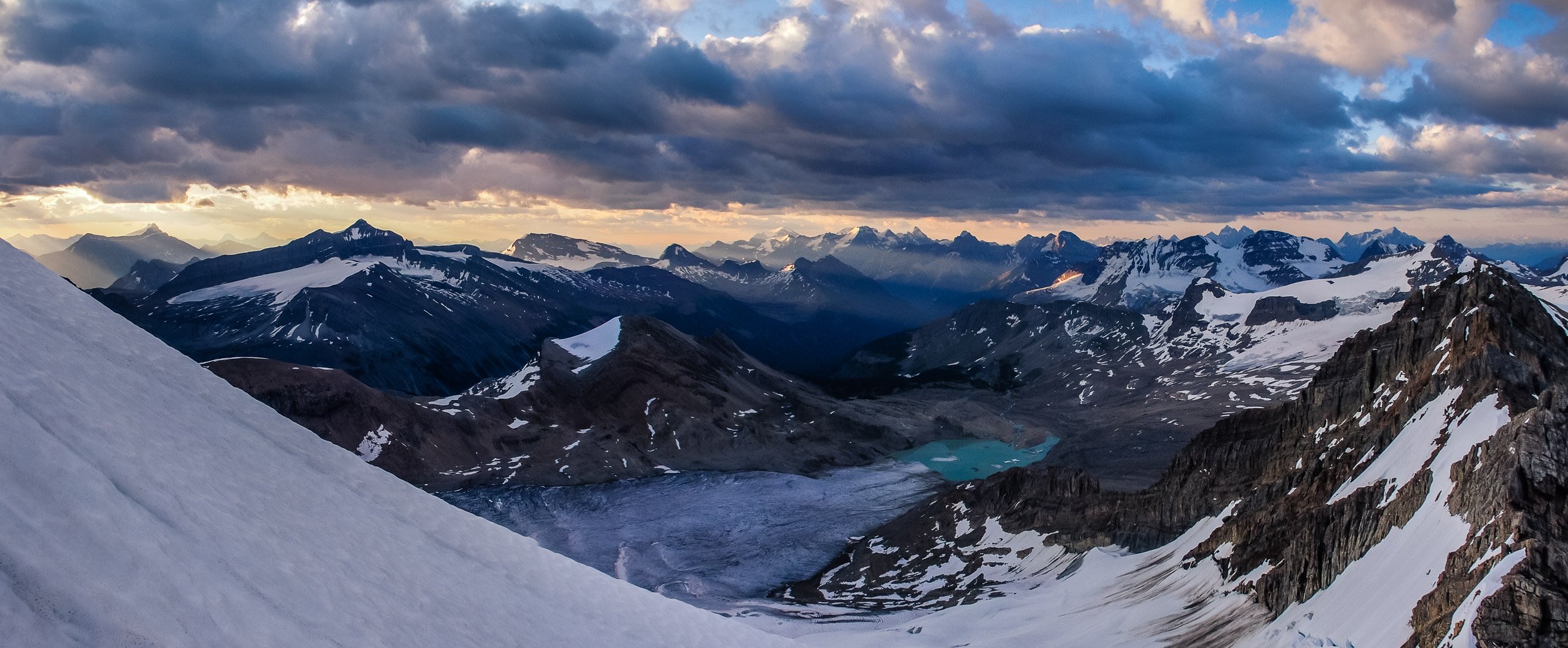
Descending the des Poilus Glacier towards the tarn. Isolated Peak rising at center here.
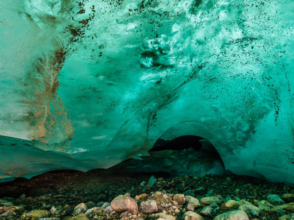
A cool glacial cave near our bivy site.
A cool glacial cave near our bivy site.
There are some huge crevasses on the des Poilus glacier and this trip should not be taken lightly if you don’t know where they are (generally more to climber’s left) but if you have great conditions this is a highly recommended peak which will give stunning views both at the summit and on the approach.
Exiting back down to Waterfall Valley – a last glance back at the glacier and our peak.
Twin Falls Creek.
Twin Falls.
The trudge out to the parking lot was a bit mind-numbing but still beautiful and wrapped up a great weekend with fun company and lots of laughs.


