Geographical information system (GIS) and its Components (original) (raw)
Last Updated : 4 Aug, 2025
A Geographic Information System (GIS) is a system designed to collect, store, manage, analyze, and visualize geographic or spatial data. It helps users identify patterns, relationships, and trends based on location, making it a powerful tool for decision-making in fields like urban planning, agriculture, transportation, disaster management, and environmental monitoring.
Why do we need GIS
- GIS needs to integrate data from multiple sources with varying accuracy levels.
- Since it deals with real-world scenarios, GIS data must be frequently updated to stay relevant and reliable.
- Much of the information in a GIS is context-specific and requires tools for efficient retrieval and interpretation.
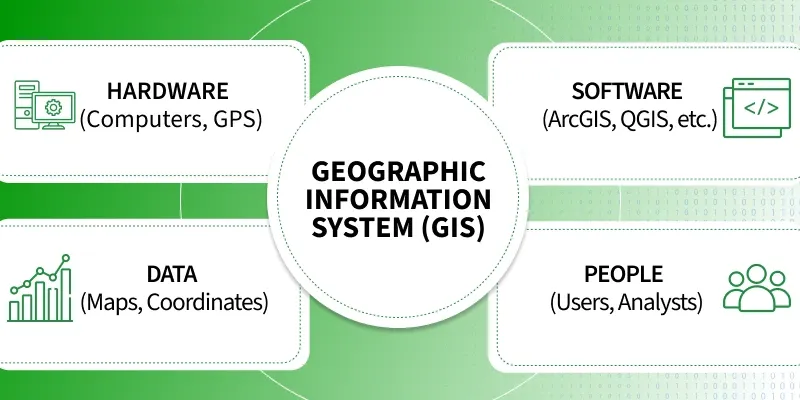
Components of GIS system
Components of GIS
lets discuss each one of them:
**1. Hardware
- The physical devices used to run GIS software and process spatial data.
- Examples: Computers, servers, GPS devices, scanners.
**2. Software
- Programs used for data entry, analysis, and visualization.
- Examples: ArcGIS, QGIS, ERDAS Imagine.
**3. Data
- The core of GIS – includes spatial data (maps, coordinates) and attribute data (details like name, population).
- Types: Raster data (images), vector data (points, lines, polygons).
**4. People
- Users and experts who design and use GIS systems.
- Roles: GIS analysts, developers, decision-makers.
Methods
- Procedures and techniques used to collect, analyze, and interpret data.
- Includes standards, models, and workflows.
Applications of GIS
- **Urban Planning: Designing infrastructure and zoning.
- **Disaster Management: Tracking floods, earthquakes, and relief planning.
- **Environmental Monitoring: Analyzing deforestation, pollution, climate change.
- **Agriculture: Crop monitoring, soil mapping, precision farming.
- **Navigation & Routing: GPS, traffic maps, logistics.