Geograph:: Open farmland © Donnylad cc-by-sa/2.0 (original) (raw)
taken 18 years ago, 3 km from Northorpe, Lincolnshire, England

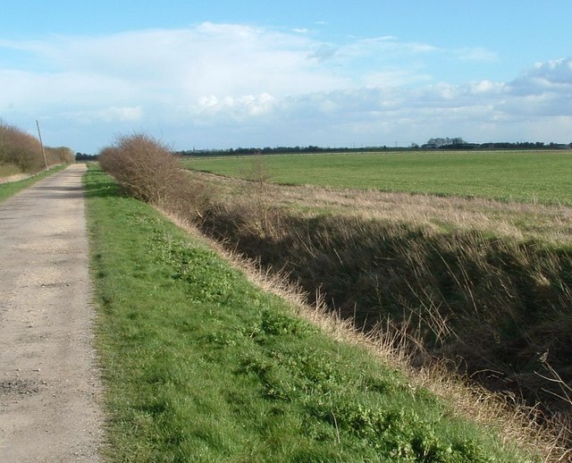
Open farmland
Track leading to Eau end farm
TIP: Click the map for more Large scale mapping
Grid Square
TF1738, 8 images (more nearby 🔍)
Photographer
Date Taken
Sunday, 18 March, 2007 (more nearby)
Submitted
Sunday, 18 March, 2007
Subject Location
OSGB36:  [TF 175 380](/gridref/TF 175 380/links) [100m precision]
WGS84: 52:55.6307N 0:15.1574W
Camera Location
OSGB36:  [TF 170 383](/gridref/TF 170 383/links)
View Direction
East-southeast (about 112 degrees)
Image classification(about): Geograph (First for TF1738) · First in 5 Years (TPoint) (about)
This page has been viewed about 256 times
