Images of Melt: Earth's Vanishing Ice (original) (raw)
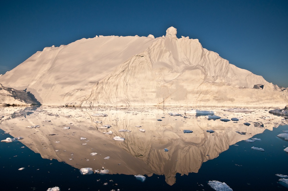
Midnight Iceberg
(Image credit: Ian Joughin)
The midnight sun glows off an iceberg in Disko Bay, Greenland. Icebergs calving into the sea are a major source of Greenland's ice loss.
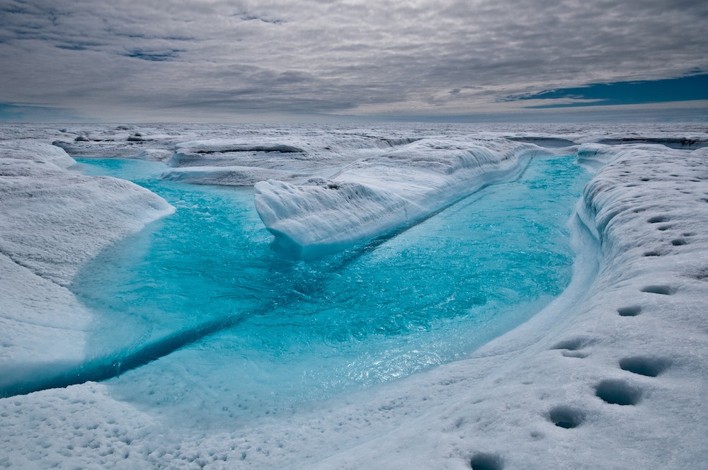
Meltwater Stream
(Image credit: Ian Joughin)
A stream of meltwater flows across the ice surface in Greenland.
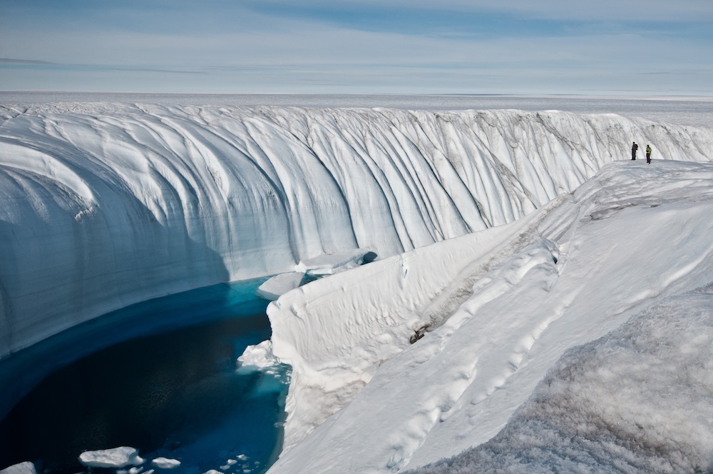
Ice Canyon
(Image credit: Ian Joughin)
Meltwater creates a 60-foot deep (18.2 meter) canyon in the polar ice sheet.
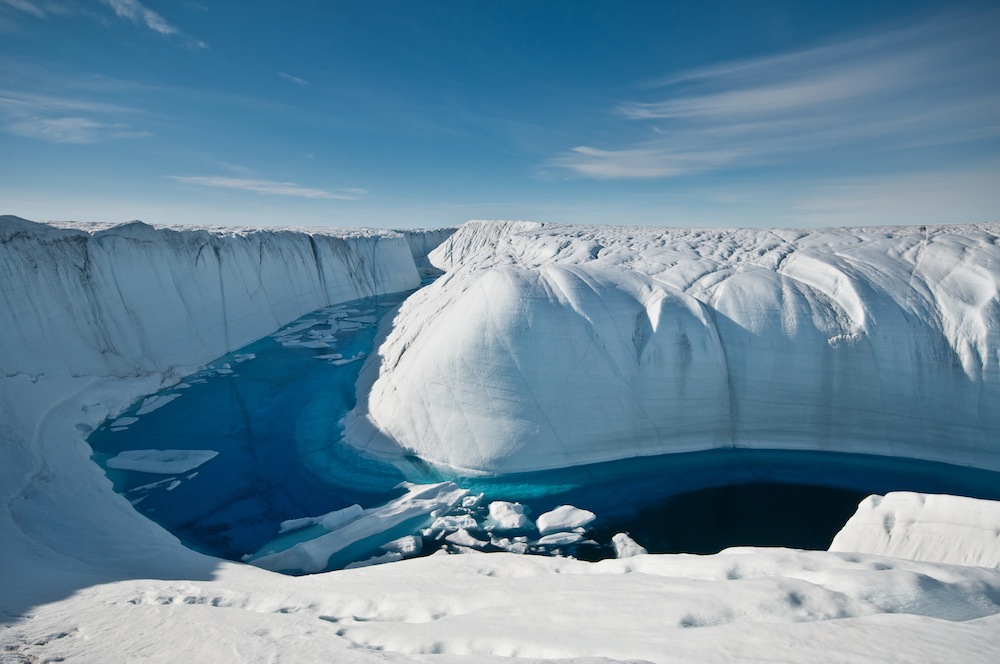
Meltwater Conduit
(Image credit: Ian Joughin)
This canyon drained a large meltwater lake on the surface of the ice into a moulin, or under-ice channel that flows to the bottom of the ice sheet.
Glacial Lake
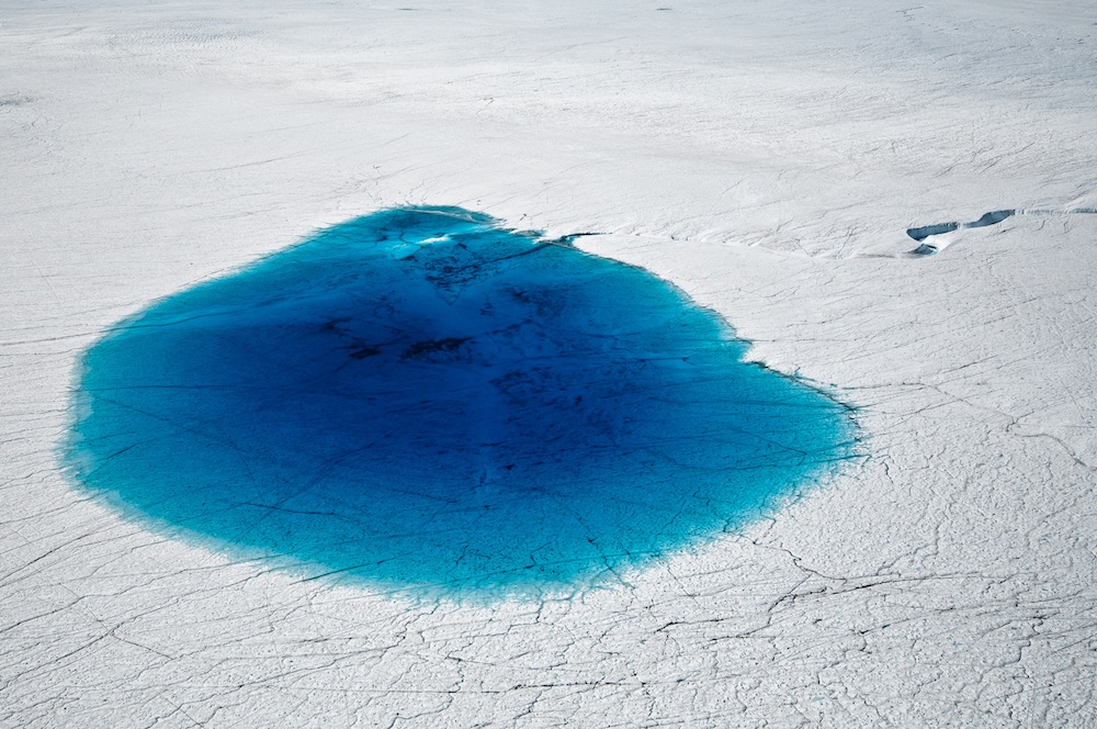
(Image credit: Ian Joughin)
Supraglacial lakes like this one (which is about 0.75 miles in diameter) dot the surface of the Greenland ice sheet during the summer seasonal melt.
Moulin
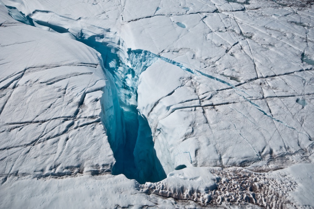
(Image credit: Ian Joughin)
A moulin dips into the ice sheet, channeling water to the base of the ice, where a network of underground springs route it to the sea.
Pine Island Glacier
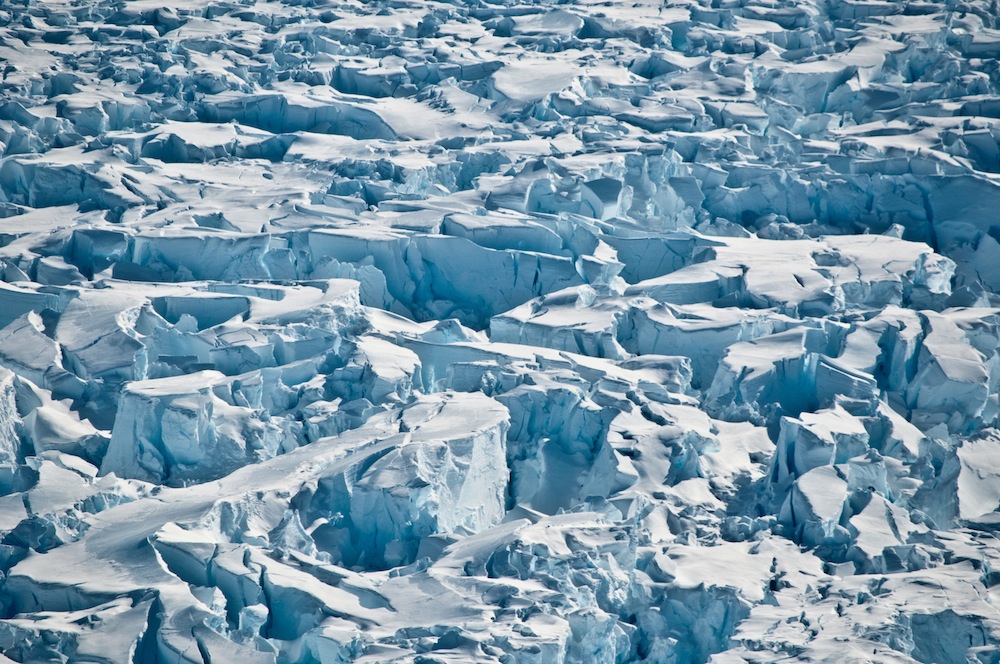
(Image credit: Ian Joughin)
Crevasses mar stretching ice on the Pine Island Glacier in Antarctica.
Get the world’s most fascinating discoveries delivered straight to your inbox.
Pine Island Glacier Flow
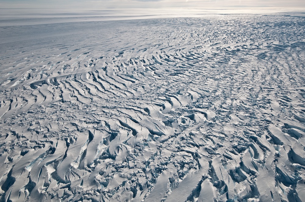
(Image credit: Ian Joughin)
Crevasses reveal the slow movement of the Pine Island Glacier in Antarctica.
Criss-Crossing Crevasses
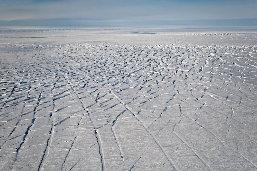
(Image credit: Ian Joughin)
Criss-Crossing Crevasses near the grounding line of the Pine Island Glacier, where the glacier meets Antarctica's sea ice.
Aerial Glacier View
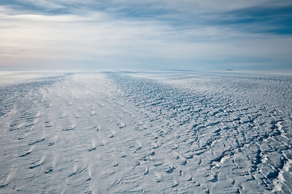
(Image credit: Ian Joughin)
An aerial view of the Pine Island Glacier in Antarctica, looking seaward.
Staccato Peaks
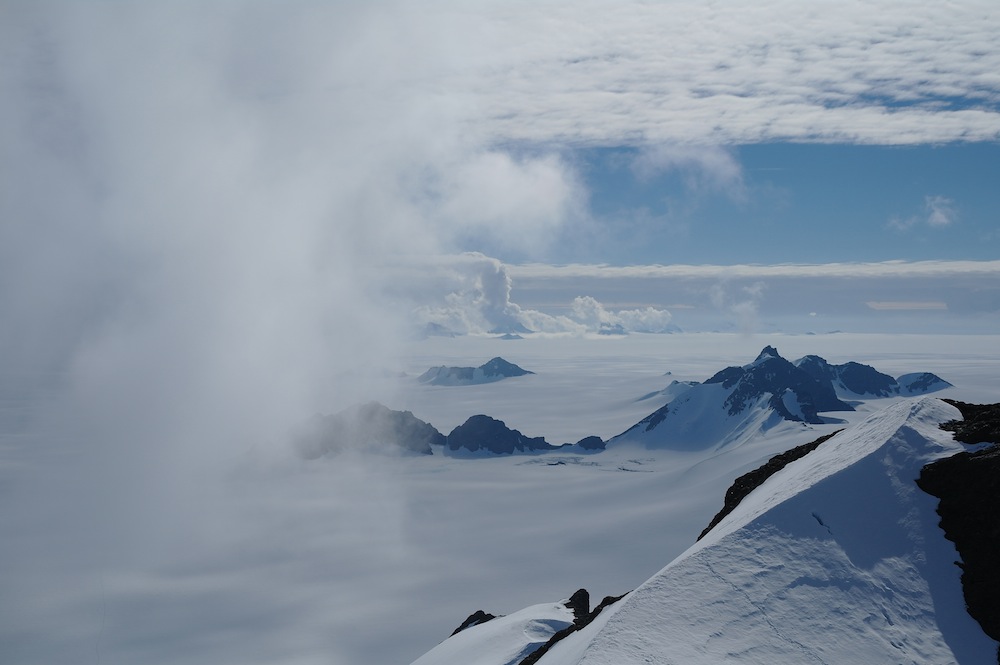
(Image credit: Ian Joughin)
The Staccato Peaks of Alexander Island on the Antarctic Peninsula. Complex weather and snowfall in this region makes assessing ice loss and gain difficult.