Man-taw-bin, Kyauk-Pyat-That, Mogok Township, Pyin-Oo-Lwin District, Mandalay Region, Myanmar (original) (raw)
Man-taw-bin, Kyauk-Pyat-That, Mogok Township, Pyin-Oo-Lwin District, Mandalay Region, Myanmari
| Regional Level Types | |
|---|---|
| Man-taw-bin | - not defined - |
| Kyauk-Pyat-That | - not defined - |
| Mogok Township | Township |
| Pyin-Oo-Lwin District | District |
| Mandalay Region | Region |
| Myanmar | Country |
Latitude & Longitude (WGS84):
22° 54' 21'' North , 96° 22' 19'' East
Latitude & Longitude (decimal):
Nearest Settlements:
| Place | Population | Distance |
|---|---|---|
| Mogok | 90,843 (2016) | 14.1km |
Mindat Locality ID:
243657
Long-form identifier:
mindat:1:2:243657:2
Other/historical names associated with this locality:
Burma
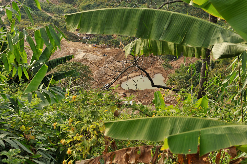
The single concession mine is located at the northern most and lowest point of the Thurein-taung ridge. The mine has been known for many years, producing rubies and sapphires of small size and fine quality. The gems were recovered from the alluvium using the myaw-dwin mining scheme. - Ted Themelis (2008) Gems and Mines of Mogok
NOTE: According to information of local miners, Man-taw-bin (and not the very close Tha-Yet-Pin-Pyint) is the real hibonite locality.
Select Mineral List Type
Standard Detailed Gallery Strunz
Chemical Elements
Mineral List
4 valid minerals.
Gallery:
Other Regions, Features and Areas containing this locality
- **Sibumasu Terrane**Passive Margin
This page contains all mineral locality references listed on mindat.org. This does not claim to be a complete list. If you know of more minerals from this site, please register so you can add to our database. This locality information is for reference purposes only. You should never attempt to visit any sites listed in mindat.org without first ensuring that you have the permission of the land and/or mineral rights holders for access and that you are aware of all safety precautions necessary.