Thunder Bay Amethyst Mine, McTavish Township, Thunder Bay District, Ontario, Canada (original) (raw)
Thunder Bay Amethyst Mine, McTavish Township, Thunder Bay District, Ontario, Canadai
| Regional Level Types | |
|---|---|
| Thunder Bay Amethyst Mine | Mine |
| McTavish Township | Township |
| Thunder Bay District | District |
| Ontario | Province |
| Canada | Country |
Latitude & Longitude (WGS84):
48° 41' 27'' North , 88° 43' 33'' West
Latitude & Longitude (decimal):
Long-form identifier:
mindat:1:2:25247:5
Other/historical names associated with this locality:
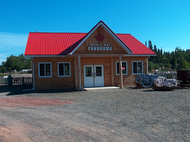
Amethyst Mine Panorama
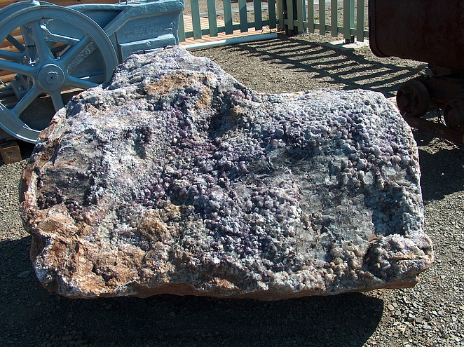
An amethyst mine located 30 miles NE of Thunder Bay. Owned by Mr. Steven Lukinuk of Thunder Bay. Started in 1967. Mineralization is in the Algoman formation (early Pre-Cambrian granite [quartz monzonite]). Workings are an open pit 60 feet wide by 35 feet deep and 550 feet long.
Select Mineral List Type
Standard Detailed Gallery Strunz
Chemical Elements
Mineral List
5 valid minerals.
Detailed Mineral List:
Gallery:
Other Regions, Features and Areas containing this locality
- Superior Craton
- Wawa-Abitibi TerraneCraton
This page contains all mineral locality references listed on mindat.org. This does not claim to be a complete list. If you know of more minerals from this site, please register so you can add to our database. This locality information is for reference purposes only. You should never attempt to visit any sites listed in mindat.org without first ensuring that you have the permission of the land and/or mineral rights holders for access and that you are aware of all safety precautions necessary.