Climbing, Hiking & Mountaineering : SummitPost (original) (raw)
Overview
Geographical structure: Eastern Alps > Hohe Tauern > Granatspitze Group > Gradötzspitze
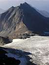
Gradötzspitze is nice and easy hiking mountain located in the Granatspitze group. The Venediger group on the W side, Schober group on the SE side and Glockner on the E side surround it. It is the smallest one but it is very nice group with many high mountains.
Gradötzspitze is located between the Muntanitz (3232m) on the north and Kendlspitze (3088m) on the south. It is placed on the ridge that it comes from the north direction from Muntanitz over the glacier Gradötz, then up to the Gradötzspitze and over the long ridge in the south direction to the Kendlspitze. The Gradötz glacier is on the NW of the summit of the Gradötzspitze between two south ridges that come from the Muntanitz. The right one is continued to the Gradötzspitze. On the west side of the Gradötzspitze is the big plateau Obere Steiner Alm where the Sudetendeutsche hut (2650m) is also. On the north side is connected with Muntanitz, on the northeast side has the big face around 600 meters high that it falls down to the valley that comes from the village Kals am Grossglockner (1450m). On the south side is connected with Kendlspitze with the long ridge. From this ridge goes to the west side another small ridge where is another powerful mountain Bretterwandspitze (2884m).
The photos of the Gradötzspitze on the other pages.
Gradötzspitze is not very important mountain in the Granatspitze group but it has an easy approach over the W slopes. Over these slopes is approachable from the Sudetendeutsche hut over the nice marked route in good hour.
It was first climbed by Dr. Victor Hecht in 1871.
Getting There
Getting to Matrei or Kals: for more information check the pages about Muntanitz or Grossglockner.
There you can find nice descriptions of the startingpoints for this area.
 http://www.austrianmap.at/ ---> Very good overview map of all Austria.
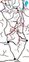
---> Map of the Granatspitze group. Gradötzspitze is between Muntanitz and Kendlspitze.
Routes Overview
Gradötzspitze is approachable from many sides. But only one marked route goes on its top. This is the route from the Sudetendeutsche hut. Sudetendeutsche hut is approachable from many sites. From Matrei, Kals am Grossglockner, over the Dr. Karl Jirsch Weg from the Felbertauernstrasse road at "Landecksäge" (ca. 1400 m) in valley Taurental.
 Normal marked route from Sudetendeutsche hut.
There is many other possibilities for reaching the summit of the Gradötzspitze but I don`t have any data so if you know anything please inform me!
Red Tape

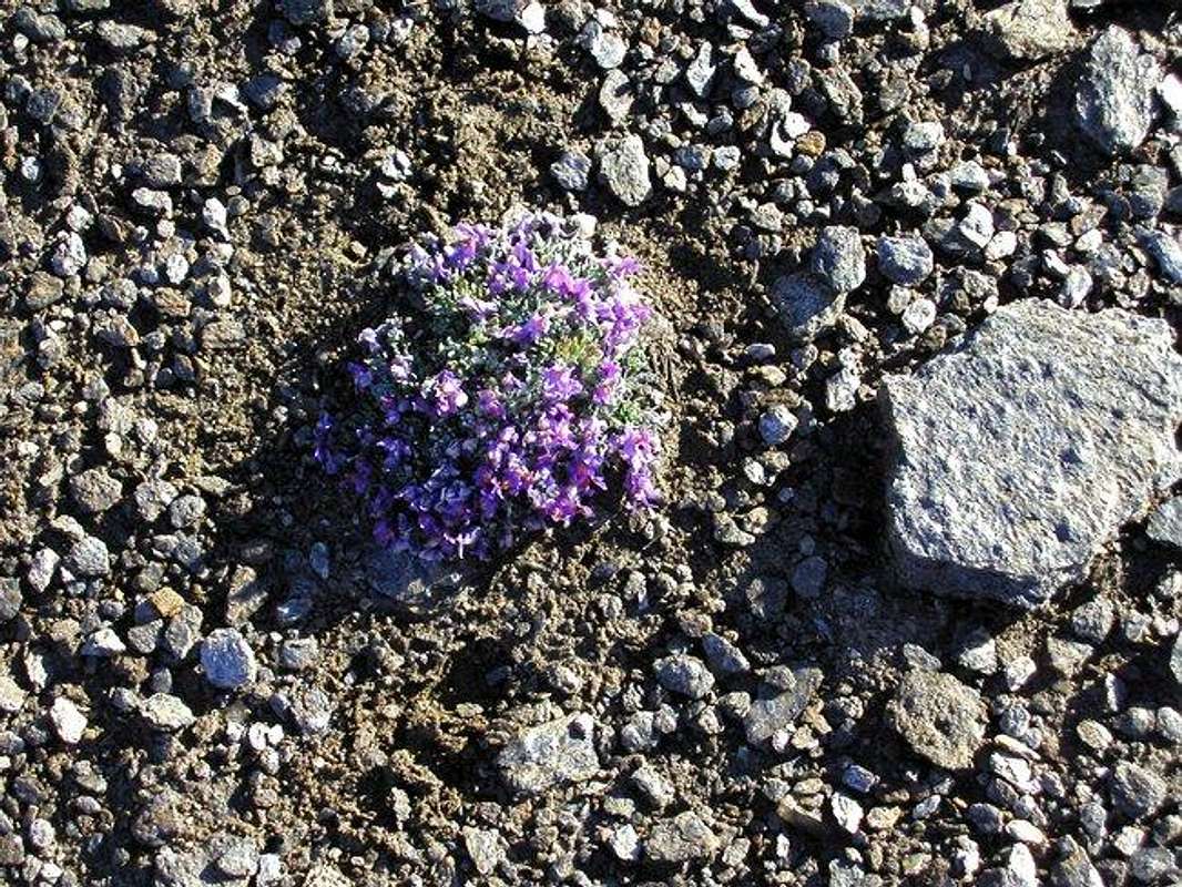
Beautiful flowers on the altitude around 3000 meters.
No permits, No summit fees. You are in the Hohe Tauern National Park but climbing activity isn't restricted. But please take care of the beautiful nature!
When To Climb
For nice and not dangerous hiking is the best season from June to October. In Winter you must be careful because of avalanches and you will need total Winter equipment or tour skiies.
Camping
There is an official campyard in the valley at Matrei:
Camping Edengarten, Familie Steiner, A-9971 Matrei, Edenweg
Tel. ++43/4875/5111, Fax. ++43/4875/5111
Mountain Conditions
Weather report in German from Austrian alpine club.


