Vršič Road Pass : Trailhead Information : SummitPost (original) (raw)
Overview
It's the most famous road mountain pass in Slovenia, connecting Sava valley (Kranjska gora town) and Soča valley (Bovec town). Reaching 1611 m, it's a perfect trail head for the neighbouring mountains. The description here can reduce further explanations on other SummitPost mountain and route pages.
The Name
Vršič actually means "a small(er) peak" and originally that's the name of the small summit 1737 m, just east above the pass. As the pass was more and more frequented, the name was transfered from the hill also to the pass.
Scenery Road
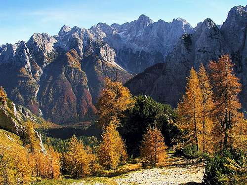
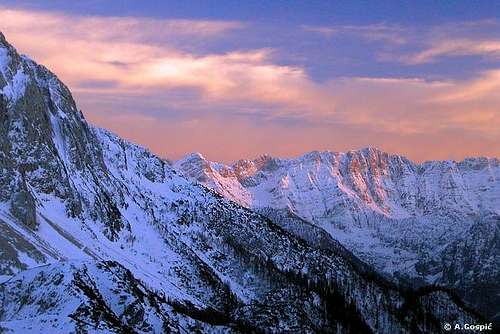
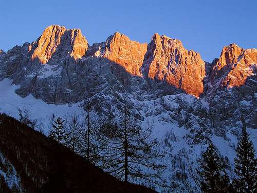
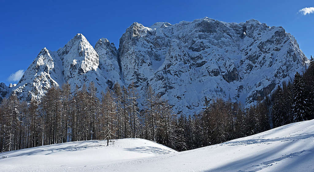
The road over Vršič pass is for sure the most beautiful scenery road in Julian Alps. The views on Martuljek group, Škrlatica, Prisojnik, the streak W of the road and along the sunny Trenta valley and the mountains above it are spectacular. The road trip over the pass, combined with sightseening many attractions along the road can fill you the whole day.
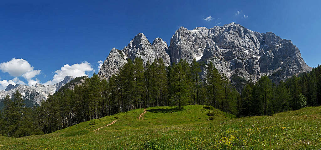 ↑ Two views on the great Prisojnik North Face → ↑ Two views on the great Prisojnik North Face → |
 |
|---|
Russian Road
The road over Vršič pass was built during the World War I, in 1915, for supplying the front on Soča river. It was built by some 10.000 prisonners of war. In 1916 hundreds of Russian prisonners were killed by avalanches, so in 2016 in memory on them the name Russian road was introduced. More about the 1916 story and about the Russian Chapel read here.
In summer the big parking place on the pass is payable. Parking below the road pass is free of charge, but there are not many places and parking lots by mountain huts are reserved only for guests.
In summer, bus connections go in both directions every 2 hours, starting in Bovec at 5:30 and in Kranjska Gora at 7:30.
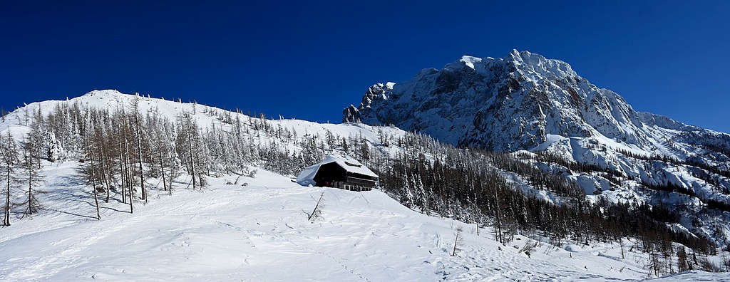
In winter the road is not cleaned, because on places there cane be up to 5 m of snow and also some slopes above the road are dangerous for avalanches when there's less snow. But depending on conditions, the road from Kranjska Gora up towards the pass is often cleaned quite high - till Mihov dom (the lowest hut) or even till Koča na Gozdu. That's fine for ski touring, because the lowest section of the road is quite long and flat. So, even if the road is officially closed, you can try driving higher. The pass itself is usually cleaned some time in April-May.
Geography
| See full screen | The interactive map on the left shows the mountains around Vršič pass and some of the most popular routes on them. Only basic information is given here, detailed route descriptions can be found on the linked SP pages. Non-marked trails are not drawn on this map. It's many of them and in addition to trails there are also pathless passages. Still, some trails can be seen on the OpenTopo Map (the defauld layer), you can check also some other (even more detailed) layers, such as OpenStreet Map or OSM Thunderforest. From the N, Vršič pass is reached from Kranjska Gora (12.4 km). From the S, Vršič pass is reached from Na Logu in Trenta valley (13 km) and further from Bovec (33.1 km). 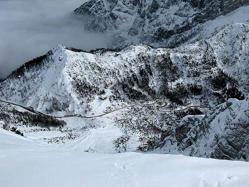 Branko - Vršič pass... Branko - Vršič pass... |
|---|
Routes from Vršič Pass
A classical view on Martuljek...
Velebit - Veliko Špičje - Trenta side
Škrlatica from the west
All hiking routes difficulties grades are on the Swiss Hiking Scale.
Hiking
Prisojnik, 2547 m
- Across the S slopes (normal), T3, 4 h.
- To the West window (Prednje okno) and by the W ridge. T4, 4 h.
- Through the West window (Kopiščar Route) and by the W ridge, T5 (C/D ferrata), 4 h.
- Hanza Route, T5/T4 (ferrata C), 5 h.
- Crossing Prisojnik summit towards the E, T5 (C/D ferrata).
- Crossing the S slopes of Prisojnik towards the E, T3.
- Non-marked trails on Kranjska planina and towards Mlinarica notch.
Mala Mojstrovka, 2333 m
- Mala Mojstrovka SE (normal), T3, 2 h 15 min.
- Mala Mojstrovka NE (Hanza route, ferrata), T4 (C ferrata), 2 h 30 min.
Streak NW Of the Pass
- Travnik normal, 2378 m, T3, 3 h 30 min.
- Crossing Mojstrovke summits, 2369 m, T4, 3 h 30 min.
- Nad Šitom glava, 2080 m, T3, 1 h 20 min.
- Prednje Robičje, 1941 m, T3, 1 h 10 min.
- Kumlehova glava, 1785 m, T3, 2 h 30 min.
Other
- Slemenova špica, 1911 m, 2 h.
Rock Climbing
- Prisojnik, Hudičev steber (Devil's Butress). V-, 500 m.
- There are some routes in the W and S walls and the W ridge is UIAA III.
- For other climbs in Prisojnik the trail head is Krnica valley.
- There are a few popular routes in Nad Šitom glava.
- For the routes in the N walls of Šite, Travnik, Mojstrovka, the trail head is Planica valley.
Base Climbs
- Prisojnik: Hudičev žleb (Devil's Couloir). 60 deg / 45 deg - 50 deg.
- Mala Mojstrovka: Pripravniška grapa (ravine), 30-45 deg. (in summer UIAA III), 250 m. Skiing: III+/S4+.
- Mala Mojstrovka: Župančičeva grapa (ravine). 50 deg. (in summer UIAA III/II-III), 300 m. Skiing: IV/S5.
- Mala Mojstrovka: Butinarjeva grapa (ravine). 50 deg. / 70 deg. A UIAA II rocky step, 200 m. Skiing: IV+/S5-.
Normal Tour Skiing
- Mojstrovka over Vratca notch. Easy couloir up to 40 deg., avalanche danger.
- Mojstrovka through Drevesnica valley.
- Nad Šitom glava. Steep upper slopes, avalanche danger.
- Vršič 1737 m. Easy. Along and by the mountain road towards Kranjska Gora.
Mountain Huts
Prisojnik from Vršič
Along the mountain road there are 5 official mountain huts. They are open during the summer season. Out of summer season they are open also on nice weekends. Also during holidays in winter time and during the ski touring season, some of them may be open.
- Poštarski dom na Vršiču, 1688 m.
- Tičarjev dom na Vršiču, 1620 m.
- Erjavčeva koča, 1528 m.
- Koča na Gozdu, 1254 m.
- Mihov dom, 1093 m.
