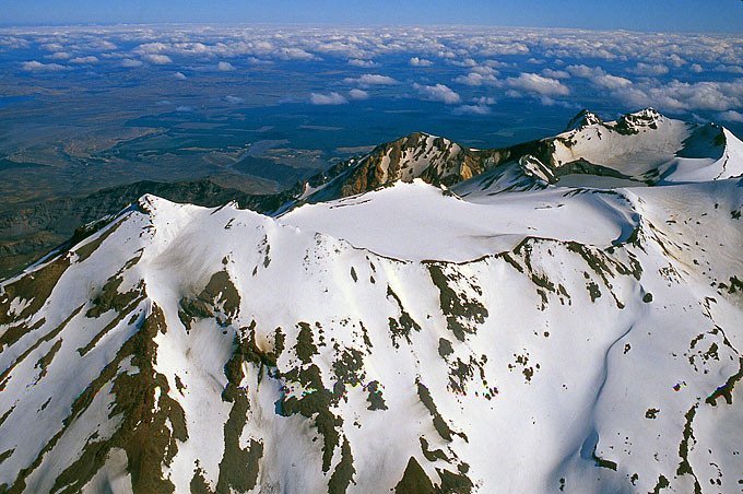
 Ruapehu summit plateau from the North. The crater lake is just coming into view on the upper right. Ruapehu summit plateau from the North. The crater lake is just coming into view on the upper right. |
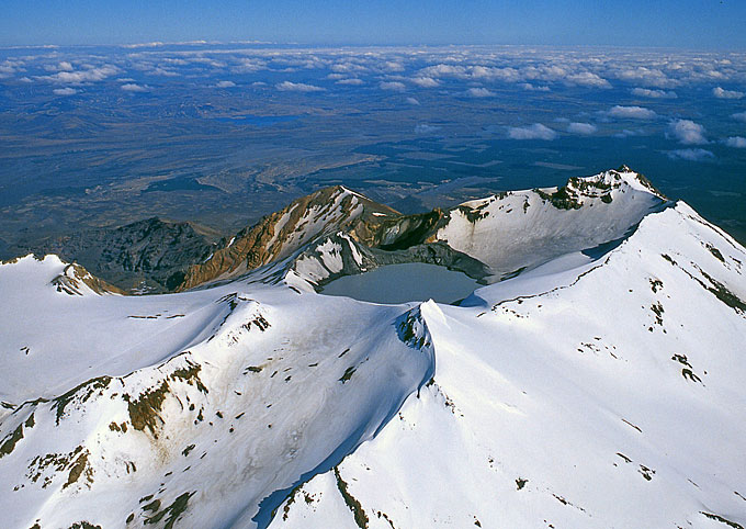 Ruapehu's crater lake from NW. Note climbers' trail leading up from the lower left towards Dome (2672 m.a.s.l). Ruapehu's crater lake from NW. Note climbers' trail leading up from the lower left towards Dome (2672 m.a.s.l). |
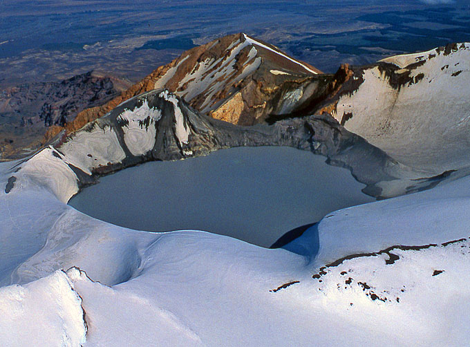 Crater lake from the West, colourful Pyramid Peak right behind. Lake outflows occur on the right. Crater lake from the West, colourful Pyramid Peak right behind. Lake outflows occur on the right. |
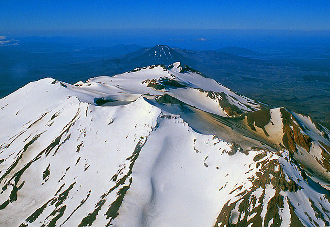 Ruapehu from the North, Ngauruhoe in the distance. Note orange dust on the snow from Pyramid Peak. Ruapehu from the North, Ngauruhoe in the distance. Note orange dust on the snow from Pyramid Peak. |
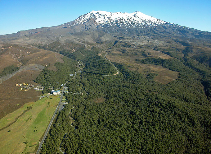 Ruapehu from the Northwest, before landing on the airstrip. Whakapapa Village on the left. Ruapehu from the Northwest, before landing on the airstrip. Whakapapa Village on the left. |
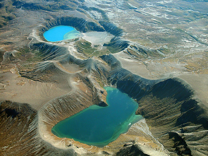 Upper Tama Lake (foreground) and Lower Tama Lake (back) as well as several more explosion pits between them. Upper Tama Lake (foreground) and Lower Tama Lake (back) as well as several more explosion pits between them. |
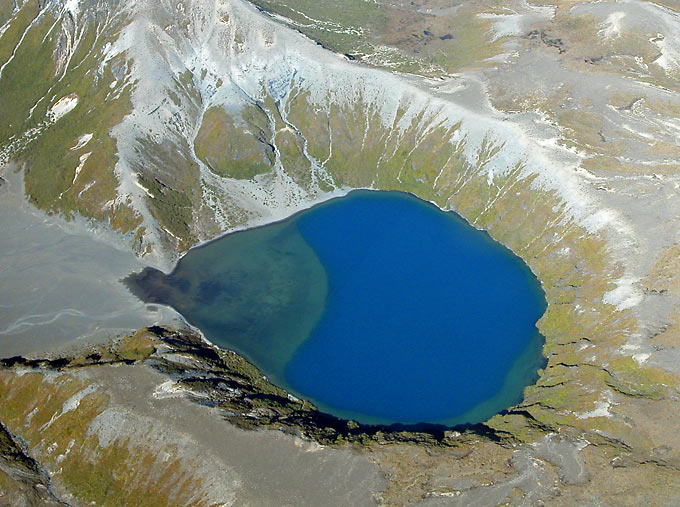 A prominent delta from a stream entering from the left is gradually filling Lower Tama Lake. A prominent delta from a stream entering from the left is gradually filling Lower Tama Lake. |
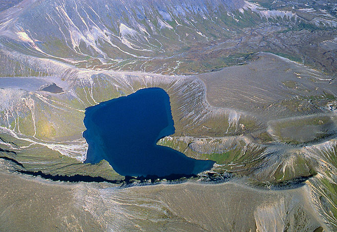 Upper Tama Lake from the W. Upper Tama Lake from the W. |