Inertial Navigation Systems | Drone INS | IMU INS for UAVs & Robotics (original) (raw)
Find Inertial Navigation Systems manufacturers and suppliers for Drones, UAV, UGV, unmanned platforms and robotics. Including FOG, MEMS and IMU INS.
Overview Inertial Navigation Systems (INS)
![]()
Last updated: August 8th, 2024
INS Systems for Unmanned Vehicles
Inertial Guidance Systems for Drones, UAVs, UGVs
Due to their self-reliance, inertial navigation systems are extremely well-suited to the field of unmanned systems, widely used on Unmanned Aerial Vehicles (UAV) Unmanned Surface Vessels (USV) and Unmanned Ground Vehicles (UGV). Inertial guidance systems can be utilised in harsh environments, are not susceptible to jamming, and emit no significantly detectable radiation.
Unmanned vehicles such as drones, UAVs, USV, UGV incorporating INS systems are utilised in a wide range of applications including defense and security, aerial mapping and survey, and search and rescue.
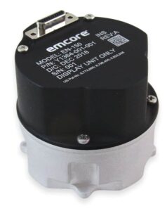
EMCORE FOG-based Inertial Navigation System
How Inertial Navigation Systems Operate
Many methods of navigation, including piloting, radio navigation and celestial navigation, rely on external objects or sources of information such as landmarks, celestial objects, satellites or transmitters. Inertial navigation is a self-referential method by which a system may track its own position, orientation and velocity (once given initial values for these parameters) without the need for such external references.
If the acceleration of an object is known, it is possible to use mathematical integration to calculate the velocity. Thus, accelerometers are required for inertial navigation. The orientation of the system in space also needs to be known. This can be kept track of using gyroscopes, which measure angular rate (change of angular velocity). Inertial navigation systems can also make use of magnetometers, which measure the strength and direction of the Earth’s magnetic field and use this to calculate the system yaw as well as estimate its heading.
IMU INS Systems
Individual inertial sensors can only measure along a single axis, so multiple sensors are grouped together into an inertial measurement unit (IMU). A three-dimensional IMU will consist of three accelerometers, mounted orthogonally to each other, and three gyroscopes, also mounted orthogonally. It may also incorporate magnetometers, although not all IMUs do.
A standalone IMU produces no navigation outputs, just the acceleration, angular rate and magnetic measurements. IMU INS combine an IMU with a navigation computer that processes the sensor outputs to continuously calculate the position, orientation and velocity of the system.
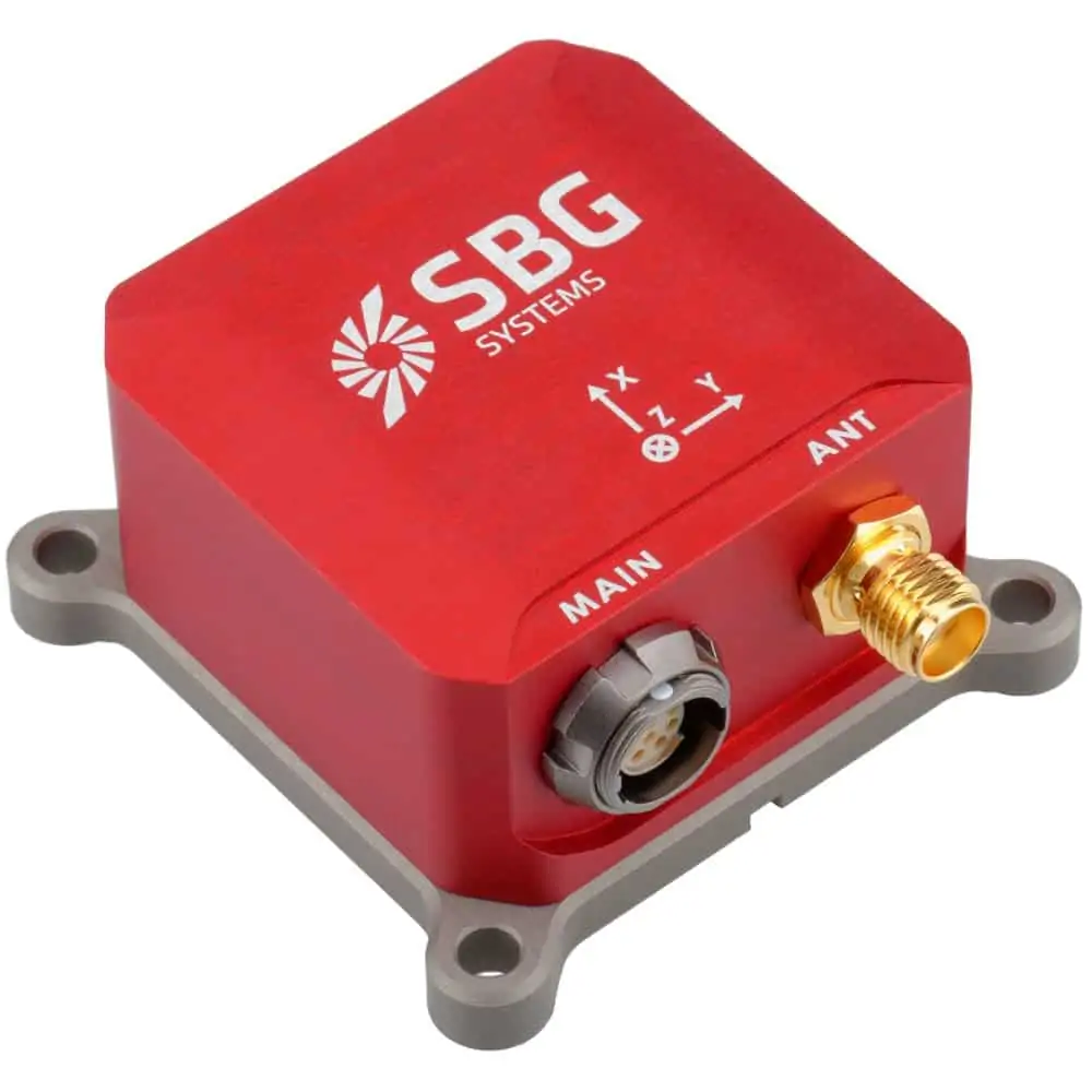
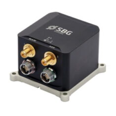
SBG Systems Inertial Navigation System (INS) with integrated L1 GNSS receiver
MEMS INS & FOG INS
The inertial sensors in an INS will typically be constructed using either MEMS (microelectromechanical systems) or FOG (fiber optic gyro technology). As a general rule, MEMS INS will be smaller, lighter and lower-cost, whereas FOG INS provide higher performance but can be larger, heavier and more costly.
Embedded GPS Inertial Navigation System
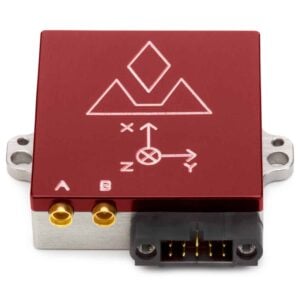
VectorNav VN-300 Dual GNSS INS Inertial Navigation System
Small errors in the measured acceleration can, over time, be compounded into larger errors in system-calculated velocity and position. To provide the system with greater accuracy, drone INS may be combined with another source of information such as a GPS, or, under conditions where GPS navigation may be unreliable or unavailable, a computer vision processing unit.
The ability of the IMU to measure rapid changes in linear acceleration and angular velocity is thus combined with the extra information from the second system to form a more accurate estimation of the UAV’s navigational parameters.
Combining INS and GPS Data
A GNSS-INS navigation system that hybridises inertial navigation with GPS or computer vision will use an algorithm that fuses together the multiple sources of information. One of the most common algorithms is the Kalman filter.
The Kalman filter continuously tracks and updates estimates of the UAV’s position, using the computed errors to improve future estimates. If one of the alternative sources of information is computed to be more accurate than the INS, it can be used to help correct the overall drone position estimate.
Refine
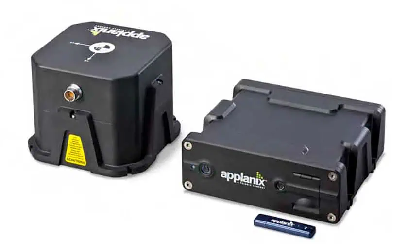
Position and orientation system for UGVs and land vehicles
Position and orientation system for UGVs and land vehicles
...nd orientation system designed for UGVs (unmanned ground vehicles) and land-based autonomous...
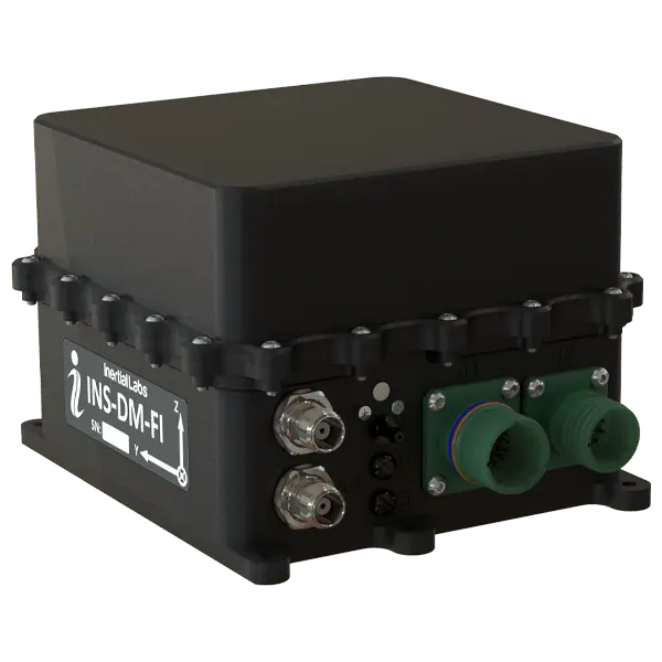
IP68-rated dual-antenna FOG GNSS-INS
IP68-rated dual-antenna FOG GNSS-INS
...art GNSS-aided inertial navigation system (INS) that incorporates tactical-grade fiber optic...
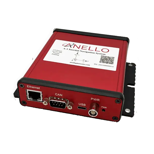
Reference-grade evaluation kit for GNSS-INS technology
Reference-grade evaluation kit for GNSS-INS technology
...cal Gyroscope) inertial technology. Providing sustained centimeter-level accuracy in conditions such...
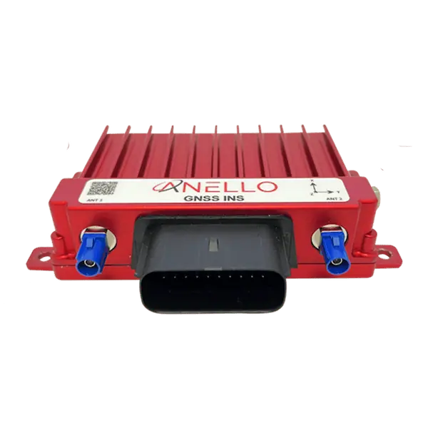
High-precision navigation for GPS-denied environments
High-precision navigation for GPS-denied environments
...level accurate navigation for drones and robotics operating under GNSS-denied conditions such as...
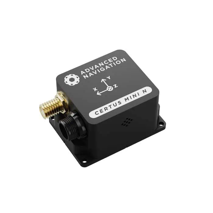
Certus Mini N & Mini D MEMS GNSS/INS
SWaP-optimized single- and dual-antenna GNSS/INS
SWaP-optimized single- and dual-antenna GNSS/INS
...ature Advanced Navigation’s revolutionary AI-powered fusion algorithm that delivers accuracy...
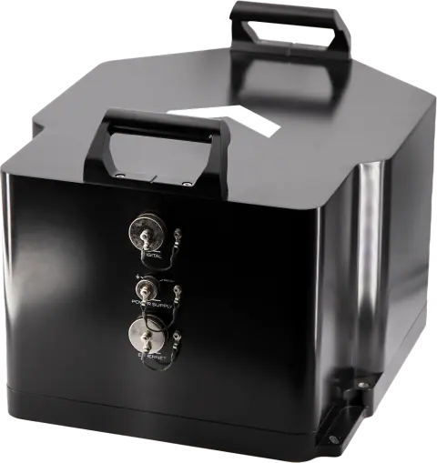
Military & strategic grade inertial navigation system
Military & strategic grade inertial navigation system
...-the-art naval inertial navigation systems which are designed to meet the demands of the navies for...
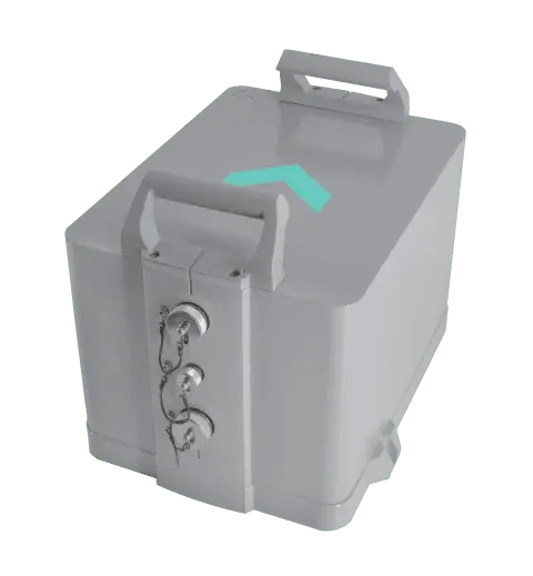
Military-grade FOG inertial navigation system
Military-grade FOG inertial navigation system
...-the-art naval inertial navigation systems, designed to meet the demands of the navy for the highest...
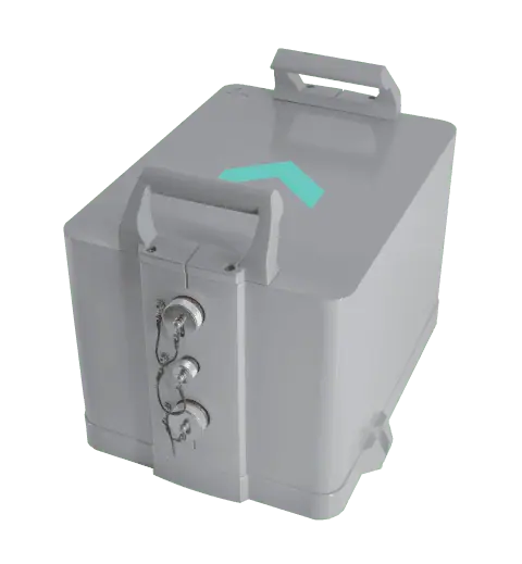
Military strategic-grade FOG inertial navigation system
Military strategic-grade FOG inertial navigation system
...-the-art naval inertial navigation systems that enables stealth autonomous navigation for submarines...
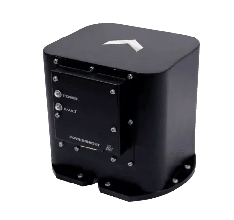
Most Compact lnertial Navigation System for AUV’s
Most Compact lnertial Navigation System for AUV’s
... of high-grade inertial navigation systems dedicated to unmanned vehicles....
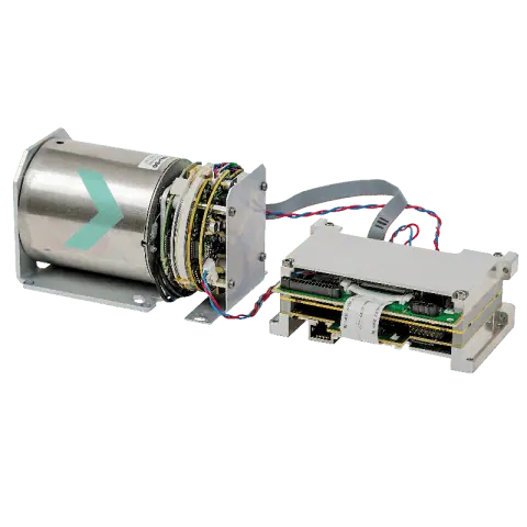
Most Compact lnertial Navigation System for AUV’s
Most Compact lnertial Navigation System for AUV’s
... of high-grade inertial navigation systems dedicated to unmanned vehicles....

Most Compact lnertial Navigation System for AUV’s
Most Compact lnertial Navigation System for AUV’s
... of high-grade inertial navigation systems dedicated to unmanned vehicles....
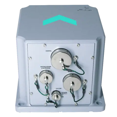
FOG based high-performance inertial navigation system
FOG based high-performance inertial navigation system
Phins is an Inertial Navigation System (INS) providing position, true heading, attitude, speed,...
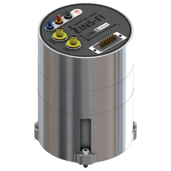
Dual-antenna tactical-grade FOG-based GNSS-INS
Dual-antenna tactical-grade FOG-based GNSS-INS
...art GNSS-aided inertial navigation system (INS) that incorporates tactical-grade fiber optic...
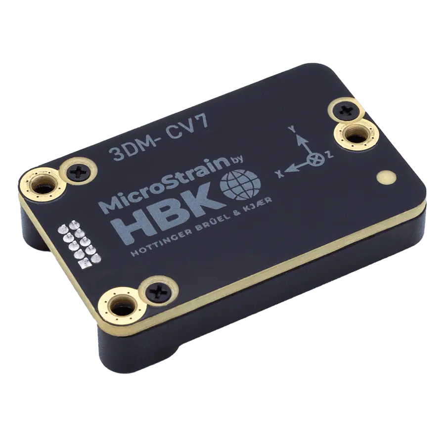
Tactical-Grade Embeddable INS
Tactical-Grade Embeddable INS
...tactical-grade inertial navigation system in an extremely compact and lightweight OEM package....
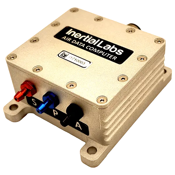
Air data parameter calculations for UAV flight control
Air data parameter calculations for UAV flight control
Inertial Labs’ Air Data Computer (ADC) is a compact and lightweight device that measures and...
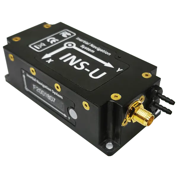
GPS-Aided INS with Air Data Computer - Single Antenna
GPS-Aided INS with Air Data Computer - Single Antenna
...s a GNSS-aided inertial navigation system that also provides AHRS and ADC (air data computer)...
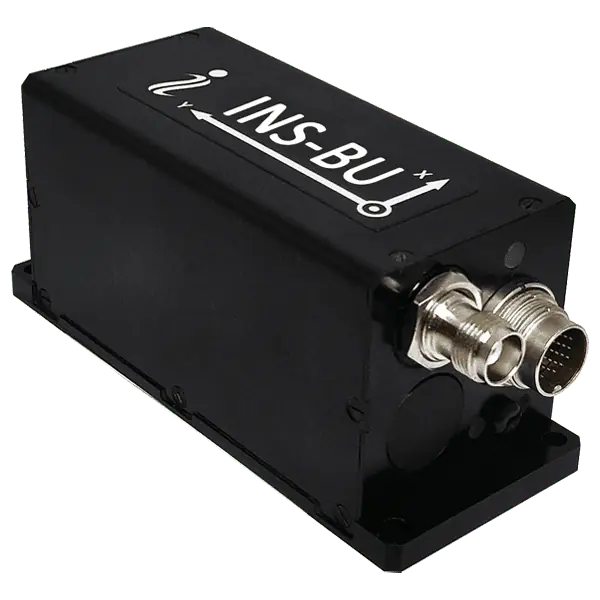
Basic single-antenna GNSS-aided INS with u-blox receiver
Basic single-antenna GNSS-aided INS with u-blox receiver
...ade GNSS-aided inertial navigation system featuring an advanced single-antenna multi-constellation...
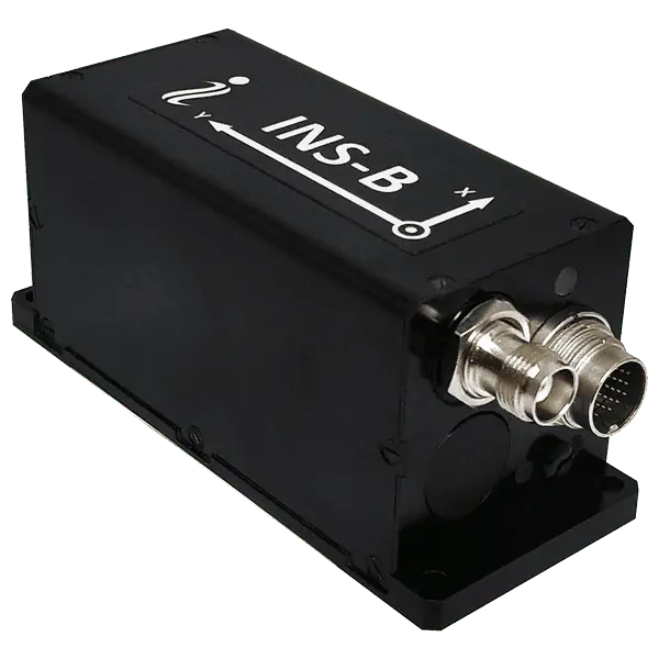
Basic Single GNSS Antenna Inertial Navigation System
Basic Single GNSS Antenna Inertial Navigation System
...ion GNSS-aided inertial navigation system featuring an advanced single-antenna multi-constellation...
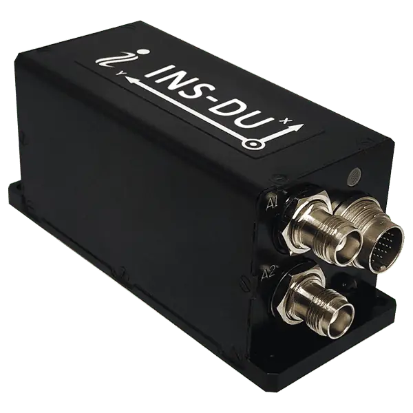
Dual-antenna GNSS-aided INS with u-blox receiver
Dual-antenna GNSS-aided INS with u-blox receiver
...NSS-aided MEMS inertial navigation system featuring an advanced dual-antenna multi-constellation...
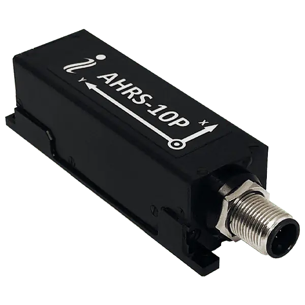
High-accuracy heading, pitch & roll data for static & dynamic applications
High-accuracy heading, pitch & roll data for static & dynamic applications
Inertial Labs Attitude and Heading Reference System, AHRS-10 is a high-performance strapdown system... ... also utilizes Inertial Labs' high-performance Fluxgate Magnetometer technology for enhanced...

Tactical-grade AHRS for air, sea and land applications
Tactical-grade AHRS for air, sea and land applications
...ding Reference System that utilizes precision 3-axis accelerometers and gyroscopes as well as an...
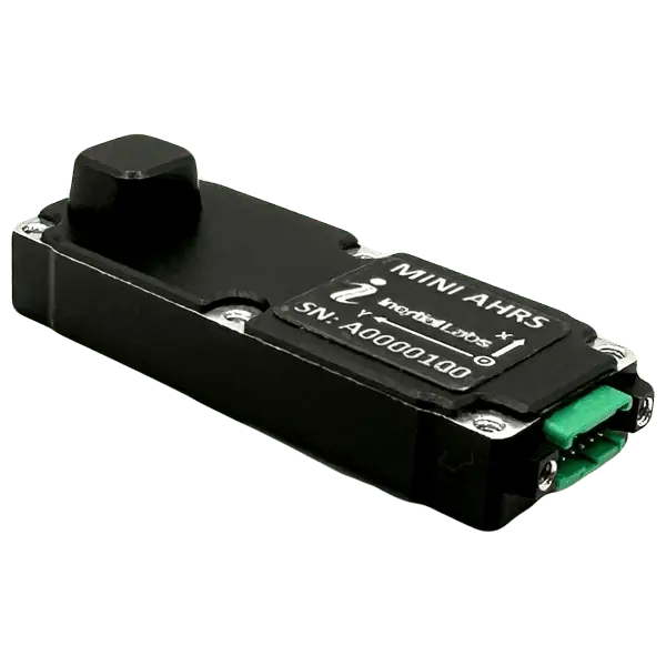
Miniature low-SWaP AHRS for air, sea and land applications
Miniature low-SWaP AHRS for air, sea and land applications
...the success of Inertial Labs AHRS is its use of mini Fluxgate Magnetometers which has distinct...

Optically-enhanced AHRS for antenna and platform pointing & stabilization
Optically-enhanced AHRS for antenna and platform pointing & stabilization
... that combines inertial sensing with optical image tracking, providing a robust orientation data...
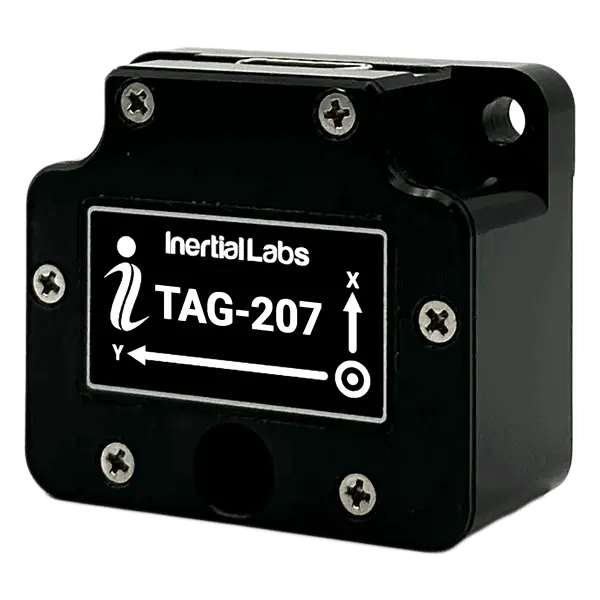
Two & Three Axis Gyroscopes (TAG)
Tactical-grade multi-axis gyros for stabilization & pointing
Tactical-grade multi-axis gyros for stabilization & pointing
...s and unmanned systems.... The Inertial Labs Two and Three Axis Gyroscopes (TAG-200 and TAG-300) are developed for...
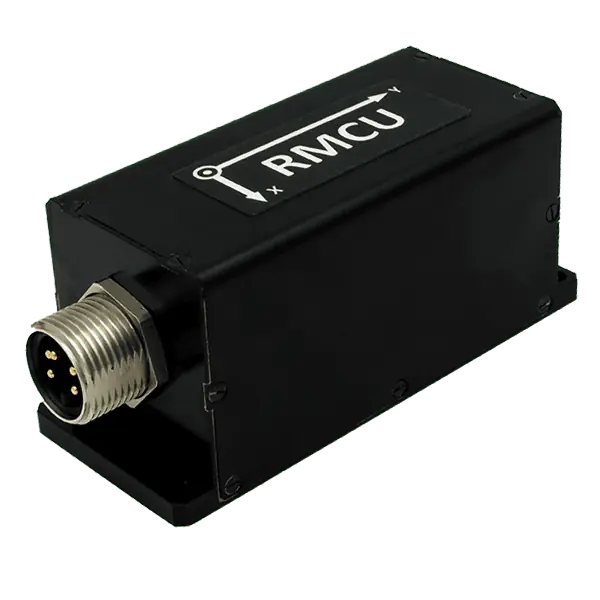
Railway Motion Control Unit
Railway Motion Control Unit
The Inertial Labs RMCU utilizes 3-axes, each precision MEMS accelerometer, miniature Fluxgate...
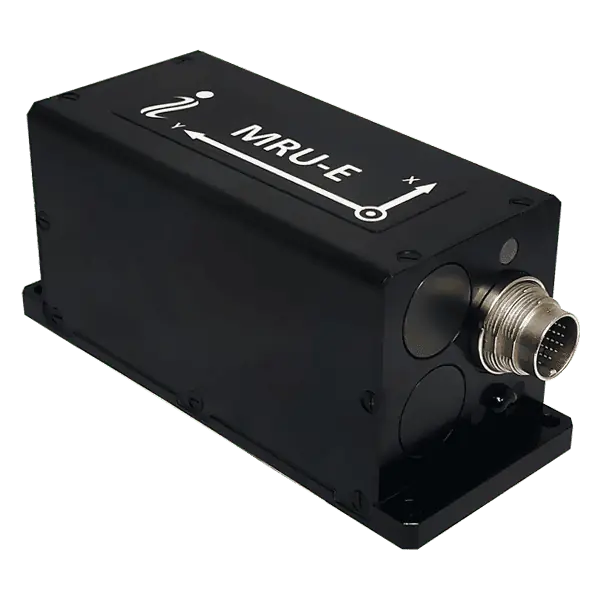
Advanced Motion Reference Units (MRU) for naval and marine applications
Advanced Motion Reference Units (MRU) for naval and marine applications
......erg, Seatex and Teledyne TSS, enabling easy integration and replacement of older legacy systems. ...
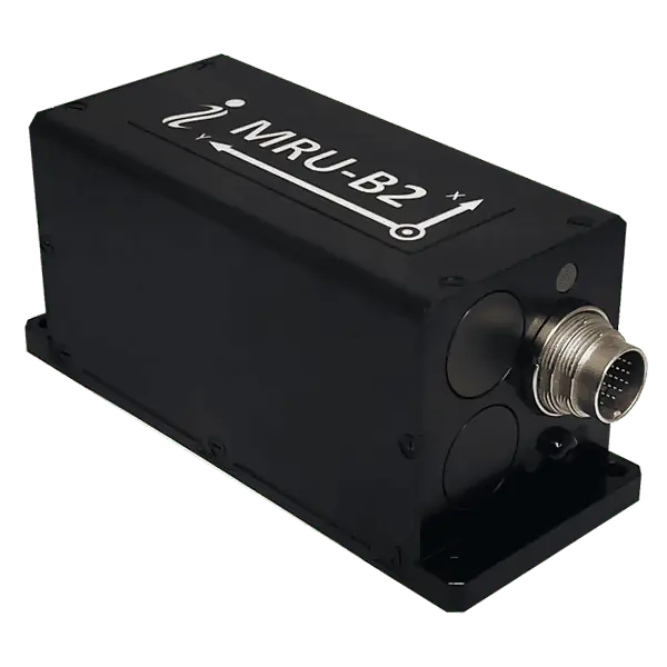
Basic Motion Reference Units (MRU) for naval and marine applications
Basic Motion Reference Units (MRU) for naval and marine applications
...f older legacy systems. It is available in an IP67-rated enclosure or a specialized subsea enclosure...
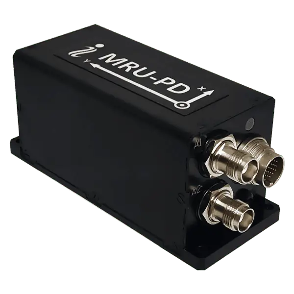
Motion reference, positioning and HDT solution for naval and marine applications
Motion reference, positioning and HDT solution for naval and marine applications
The MRU-PD is a three-in-one motion reference, DGPS/RTK positioning and HDT (true heading) solution ...
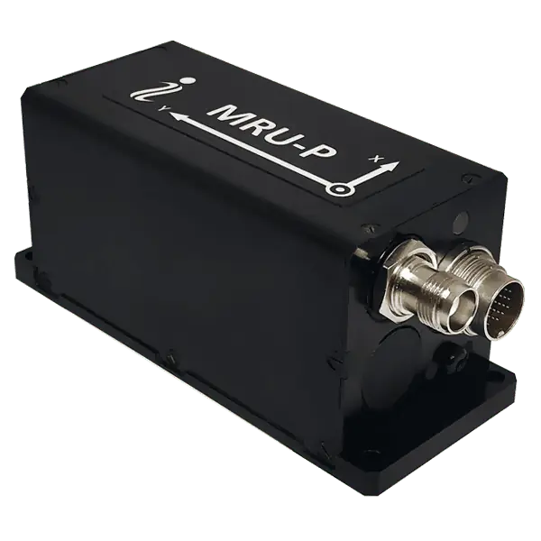
Advanced Motion Reference Units (MRU) with DGPS & RTK capabilities
Advanced Motion Reference Units (MRU) with DGPS & RTK capabilities
...f older legacy systems. It is available in an IP67-rated enclosure or a specialized subsea enclosure...
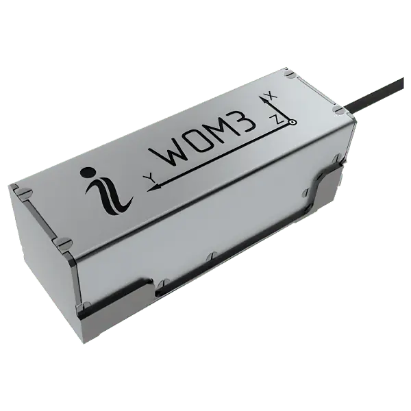
Weapons orientation module (WOM) with real-time movement tracking
Weapons orientation module (WOM) with real-time movement tracking
...ach particular system....

Optically Enhanced Weapon Aiming System
Optically Enhanced Weapon Aiming System
... that combines inertial sensors with optical referencing, providing robust and reliable motion...
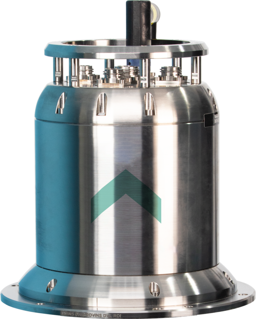
High-performance FOG INS for deepwater UUVs & AUVs
High-performance FOG INS for deepwater UUVs & AUVs
......ssembled DVL-aided version is also available, providing even more precise navigation...
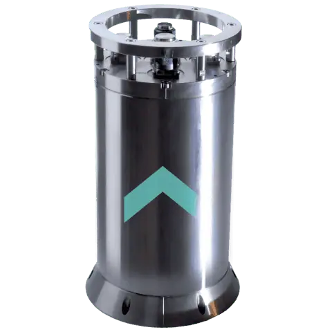
High-performance INS for subsea vehicles
High-performance INS for subsea vehicles
Rovins is a full-featured solid-state FOG INS that can operate at depths of down to 3000m. Featuring...
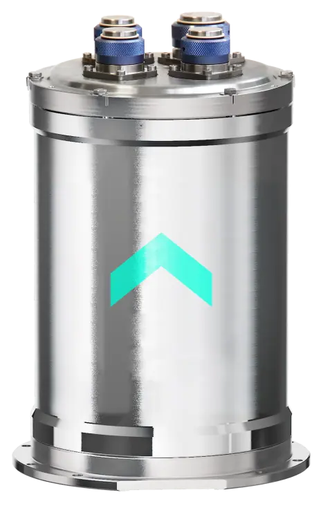
Compact INS for ROV navigation
Compact INS for ROV navigation
... high-accuracy navigation data for ROVs. Featuring autonomous external sensor management, it can be...
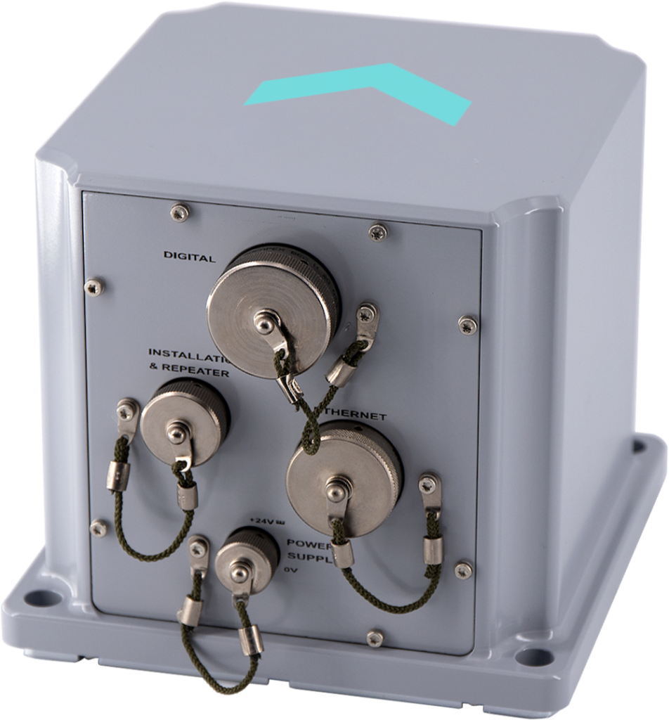
Advanced FOG INS for USVs
Advanced FOG INS for USVs
Phins Surface is a cutting-edge FOG-based INS that incorporates advanced Kalman filtering and an emb...
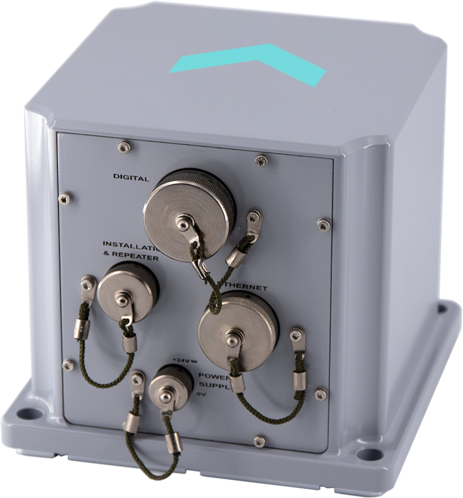
Inertial navigation system for hydrographic & multibeam surveys
Inertial navigation system for hydrographic & multibeam surveys
......aintenance. The system outputs high-accuracy real-time position, heading, attitude and speed...
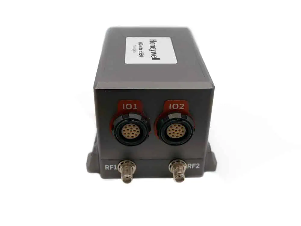
HGuide n580 Inertial-GNSS Navigator
Compact GNSS-aided INS for continuous navigation capabilities
Compact GNSS-aided INS for continuous navigation capabilities
...ust continuous navigation capabilities and can be interfaced with a wide variety of external aiding...
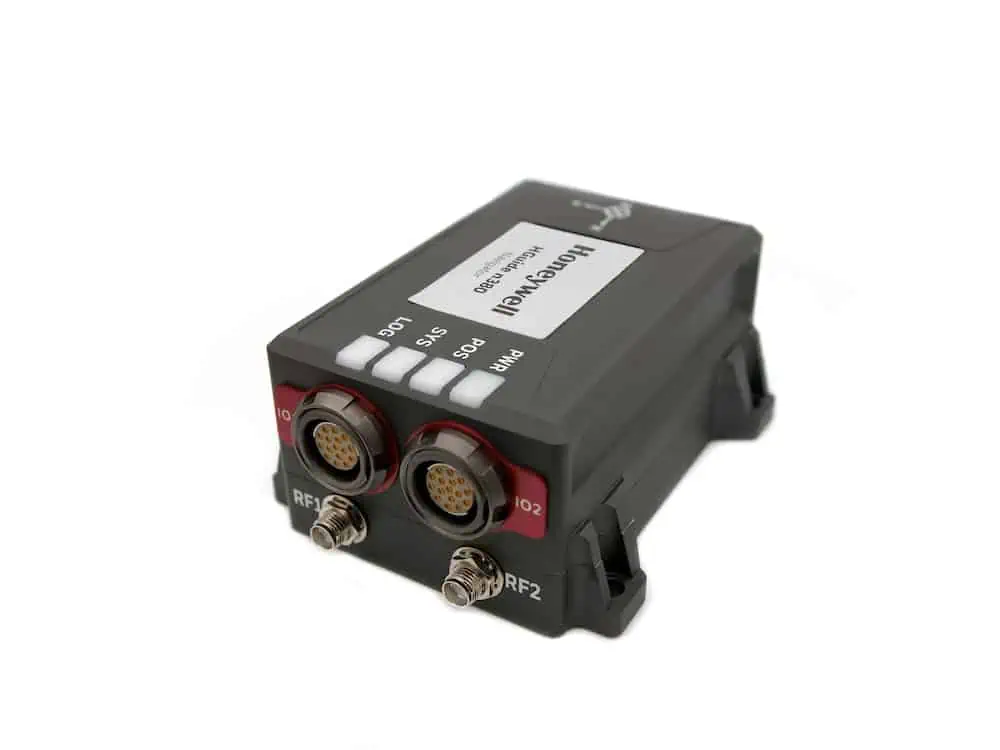
HGuide n380 Inertial-GNSS Navigator
Lightweight highly configurable GNSS-aided INS
Lightweight highly configurable GNSS-aided INS
The HGuide n380 is a compact and lightweight self-contained GNSS-aided INS incorporating a single- o...
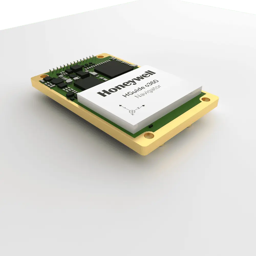
HGuide o360 Inertial-GNSS Navigator
Single-card low-SWaP GNSS-aided INS
Single-card low-SWaP GNSS-aided INS
The HGuide o360 is a powerful GNSS-aided INS incorporating a dual-antenna multi-constellation RTK GN...
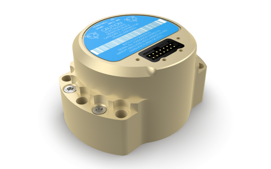
Navigation-grade INS for external GNSS receivers
Navigation-grade INS for external GNSS receivers
...uide n500 is a navigation-grade INS designed to be coupled with external GNSS receivers to provide a...
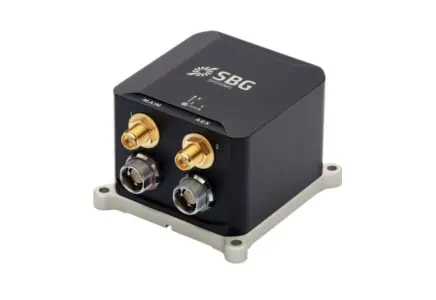
Compact high-performance GNSS-aided INS for drones & robotics
Compact high-performance GNSS-aided INS for drones & robotics
...gh-performance Inertial Navigation System (INS) featuring a quad-constellation, multi-frequency...
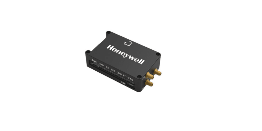
Resilient GPS-denied navigation suite for UAVs
Resilient GPS-denied navigation suite for UAVs
...'s alternative navigation suite for UAVs combines the Compact Inertial Navigation System with the...
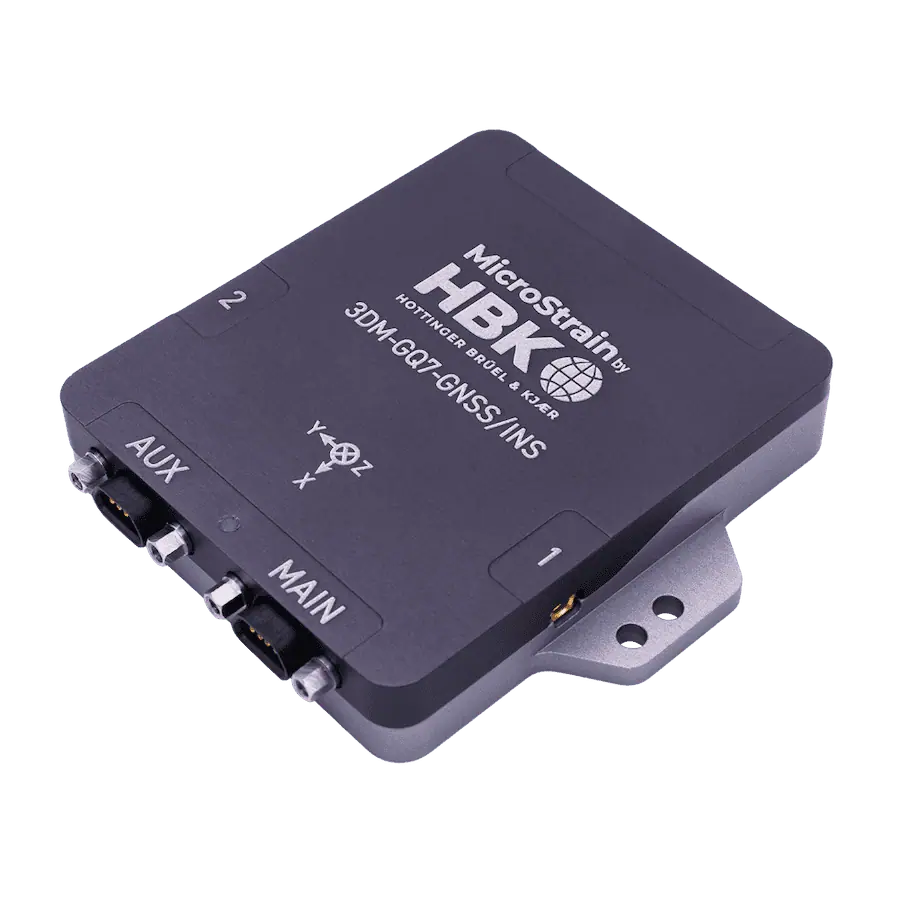
3DM-GQ7-GNSS/INS Inertial Navigation System
Tactical Grade, Dual Antenna, RTK-Enabled System
Tactical Grade, Dual Antenna, RTK-Enabled System
...a, RTK-enabled system with Auto-Adaptive Extended Kalman Filter designed for performance in... ... an all-in-one navigation solution featuring centimeter-level position accuracy. It is our first...
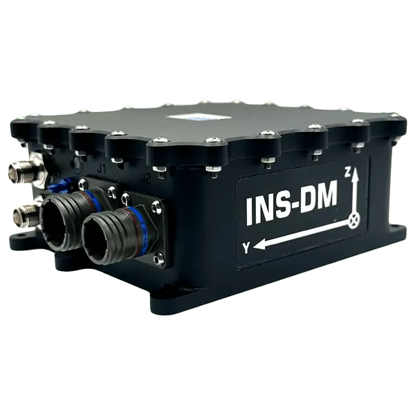
Rugged IP68 dual-antenna GNSS-aided INS
Rugged IP68 dual-antenna GNSS-aided INS
...standards. The system is available with a variety of options for IMU, GNSS receiver and...
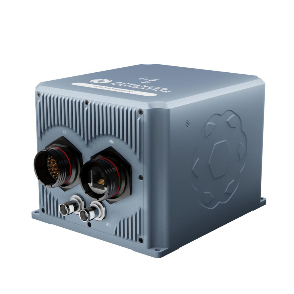
The World's First Fully Digital FOG
The World's First Fully Digital FOG
...ing allows the system to determine a highly accurate heading of 0.01 degrees secant latitude without...
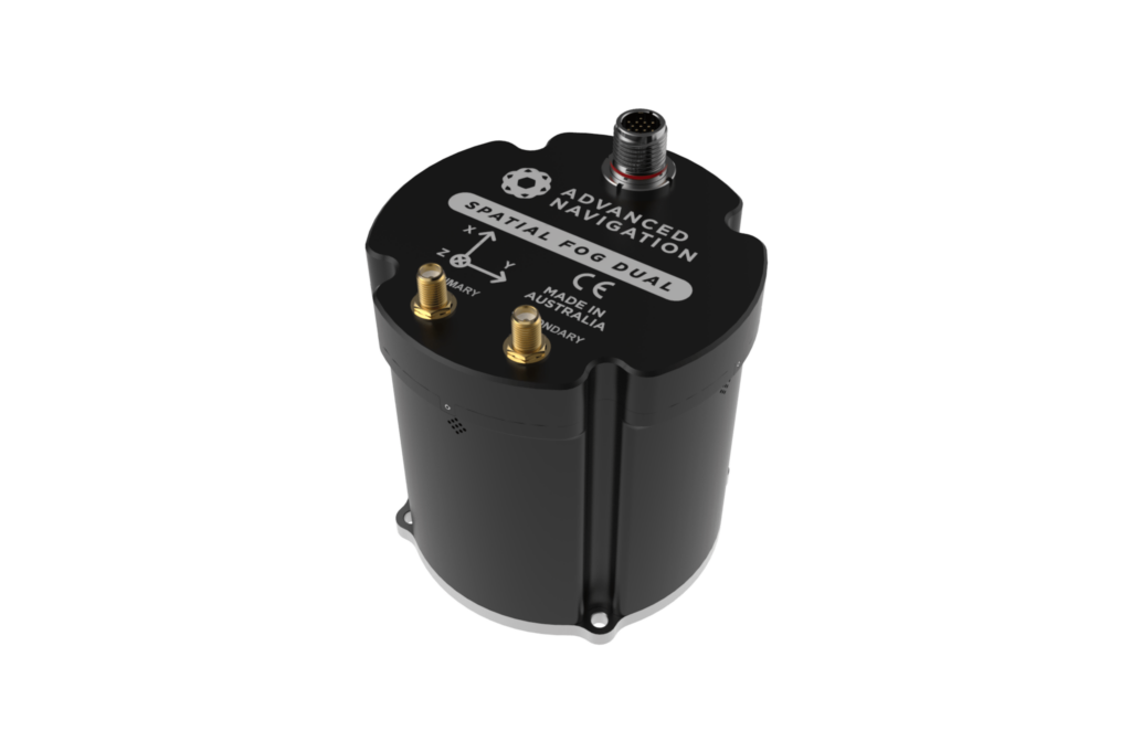
Spatial FOG Dual GPS-Aided INS/GNSS
Rugged FOG INS with dual antenna heading
Rugged FOG INS with dual antenna heading
...ture satellite navigation systems, as well as the Omnistar service for even higher accuracy...
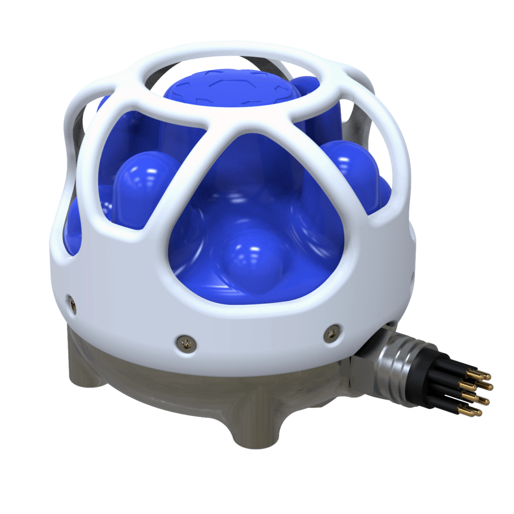
High accuracy, miniature USBL for AUVs, ROVs
...ic positioning system combining an industry-leading eight channel factory calibrated hydrophone...
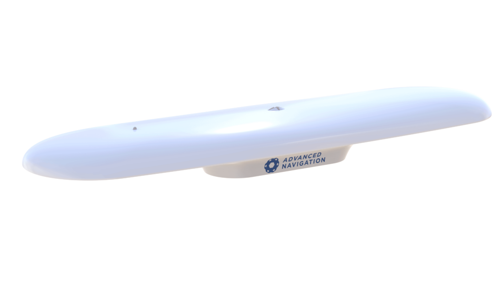
Plug & play, fully integrated GPS/INS navigation and heading solution
Plug & play, fully integrated GPS/INS navigation and heading solution
...n one GNSS/INS navigation and heading solution. It provides accurate dual antenna GPS based heading...
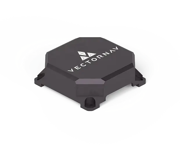
VN-210E – Tactical-Grade Embedded GNSS/INS
Miniature inertial sensors with a RTK and PPK-capable multiband GNSS receiver
Miniature inertial sensors with a RTK and PPK-capable multiband GNSS receiver
...ines miniature inertial sensors with a RTK and PPK-capable multiband GNSS receiver to enable...
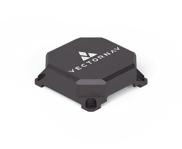
VN-310E – Tactical-Grade Embedded Dual-Antenna GNSS/INS
High-precision pointing, stabilization and direct georeferencing
High-precision pointing, stabilization and direct georeferencing
...ate-of-the-art inertial sensors with two RTK and PPK-capable multiband GNSS receivers for...
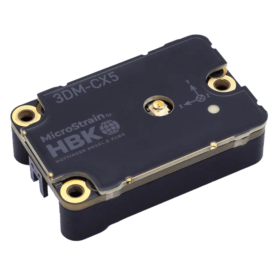
3DM-CX5-GNSS/INS Inertial Navigation System
Miniature industrial-grade multi-constellation GNSS-INS in OEM package
Miniature industrial-grade multi-constellation GNSS-INS in OEM package
...gh-performance inertial navigation solution with integrated multi-constellation GNSS receiver for...
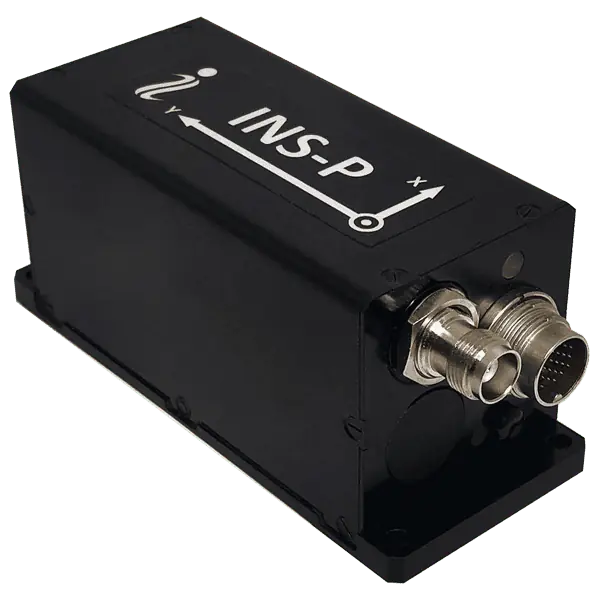
Professional tactical-grade multi-constellation GPS-aided INS for UAV, UGV, AGV and GPS-denied
Professional tactical-grade multi-constellation GPS-aided INS for UAV, UGV, AGV and GPS-denied
The INS-P is a professional tactical-grade GNSS-INS that tracks all constellations and combines adva...
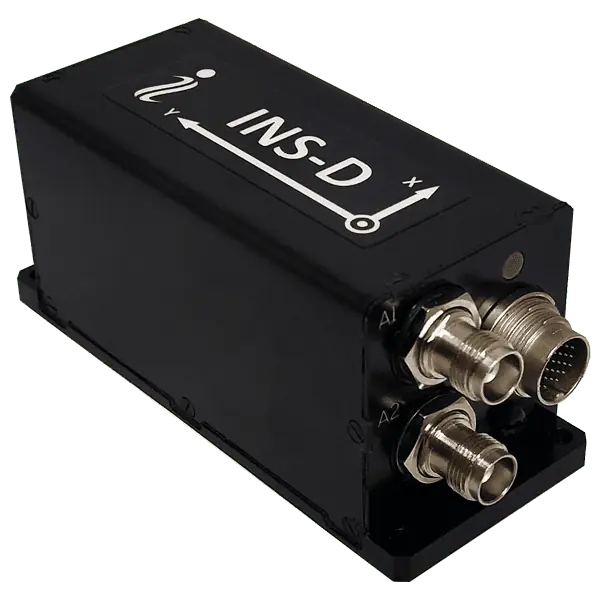
Dual-antenna tactical-grade multi-constellation GPS-aided INS for UAVs and ground robots
Dual-antenna tactical-grade multi-constellation GPS-aided INS for UAVs and ground robots
......Antenna Pointing; Low Cost Position and Velocity; Industrial Navigation
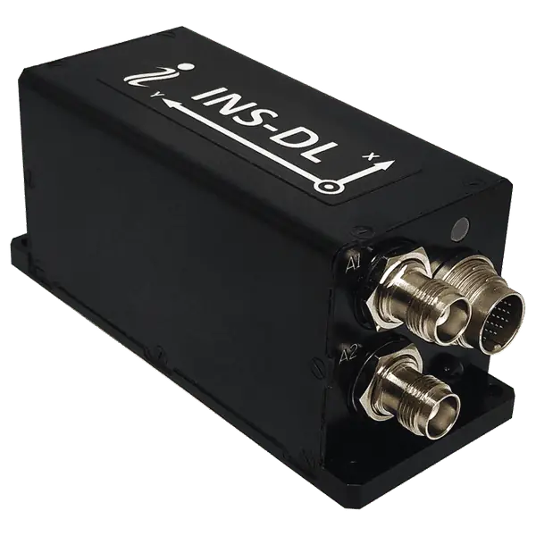
Low Cost Dual GNSS Antenna Inertial Navigation System for drones, ground robots
Low Cost Dual GNSS Antenna Inertial Navigation System for drones, ground robots
The INS-DL is a low-cost dual-antenna industrial-grade GNSS-INS featuring multi-constellation tracki...
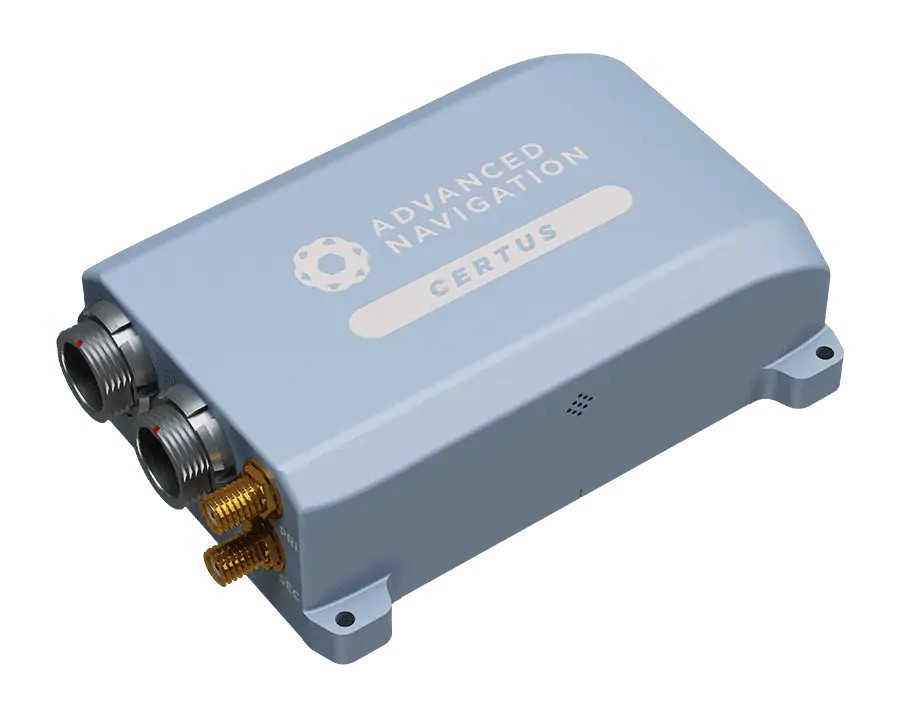
Rugged GNSS-aided INS/AHRS with dual-antenna RTK receiver for drones and robotics
Rugged GNSS-aided INS/AHRS with dual-antenna RTK receiver for drones and robotics
...s and unmanned systems even in magnetically problematic environments....
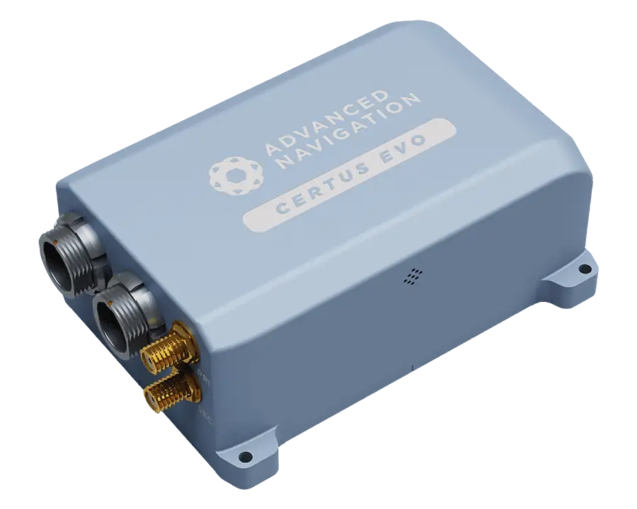
Certus Evo GNSS-aided INS/AHRS
Ultra-High Accuracy Dual-Antenna GNSS-aided INS/AHRS for UAVs and unmanned systems
Ultra-High Accuracy Dual-Antenna GNSS-aided INS/AHRS for UAVs and unmanned systems
...tatic unmanned systems even in magnetically problematic environments....
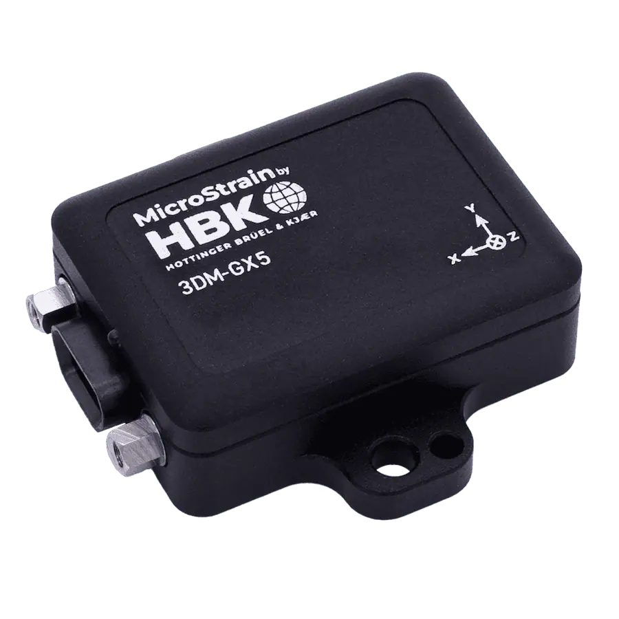
Miniature, industrial-grade GNSS-INS for Unmanned Systems
Miniature, industrial-grade GNSS-INS for Unmanned Systems
...nce GNSS-aided navigation solution with a multi-constellation receiver that is compatible with GPS,...
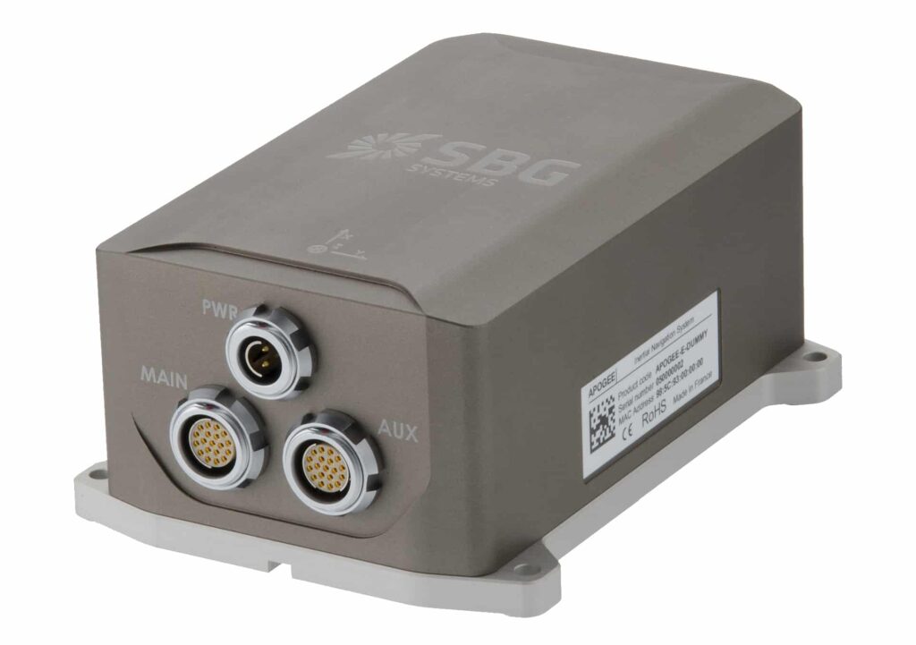
Highly versatile Inertial Navigation System
Highly versatile Inertial Navigation System
...ighly accurate Inertial Navigation System that connect to a SplitBox GNSS or any survey grade...
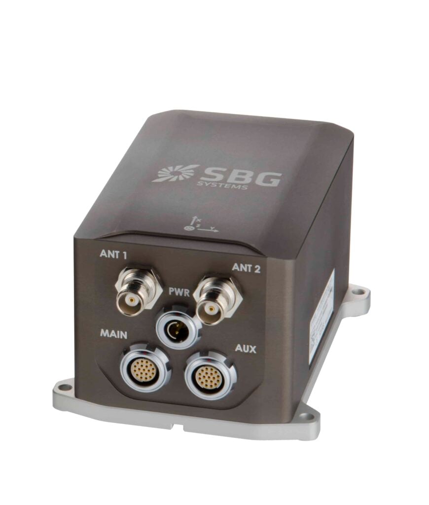
High performance and high accuracy Inertial Navigation System
High performance and high accuracy Inertial Navigation System
...ile MEMS-based Inertial Navigation System comes with one or two antennas....

High-accuracy and smallest industrial-grade INS
High-accuracy and smallest industrial-grade INS
...llipse 2 Micro Inertial Navigation System runs an Extended Kalman Filter to provide attitude,...
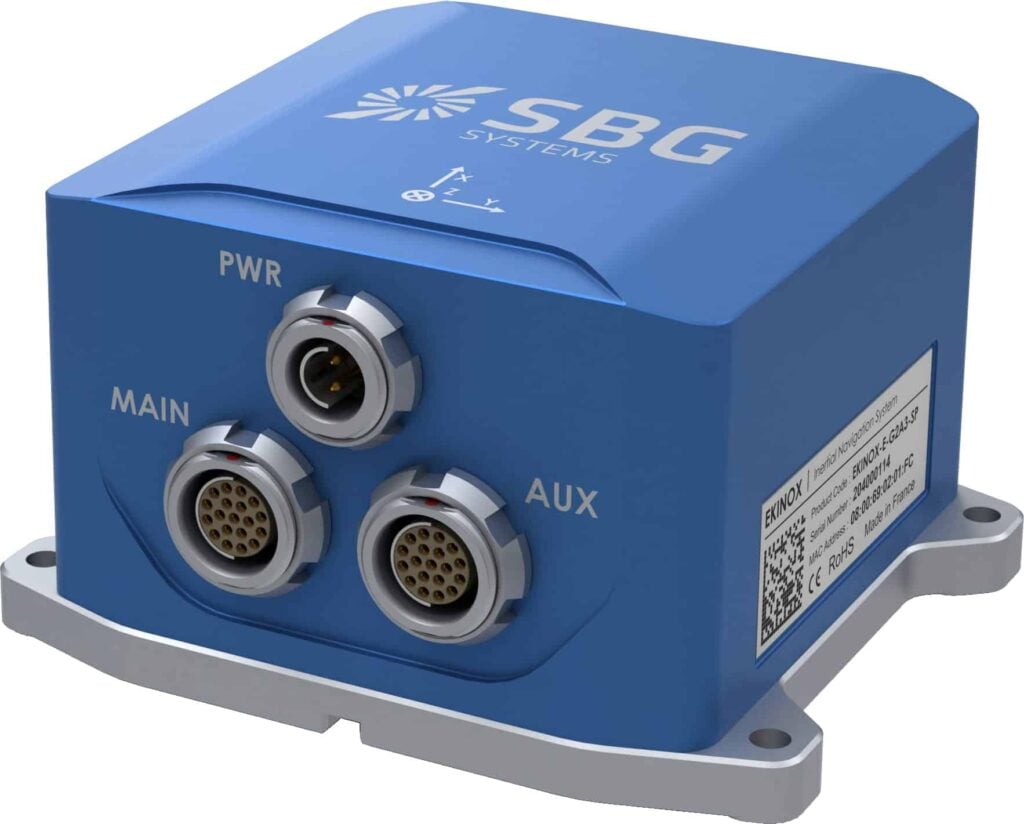
Externally-aided tactical-grade MEMS INS for UAVs and unmanned systems
Externally-aided tactical-grade MEMS INS for UAVs and unmanned systems
...ternally-aided Inertial Navigation System (INS) for drones and robotics, with a low SWaP footprint...
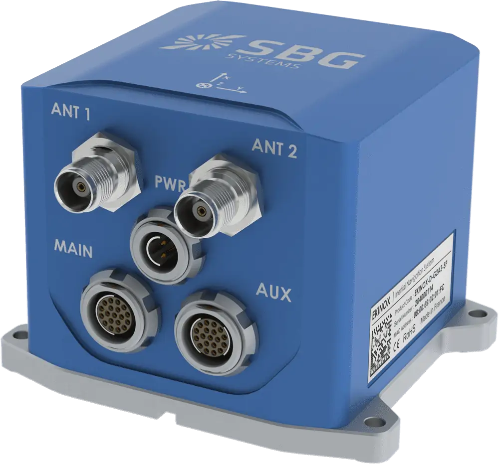
Advanced inertial navigation system with integrated RTK GNSS for drones and robotics
Advanced inertial navigation system with integrated RTK GNSS for drones and robotics
...ade all in-one Inertial Navigation System (INS) with integrated RTK GNSS receiver, designed for...
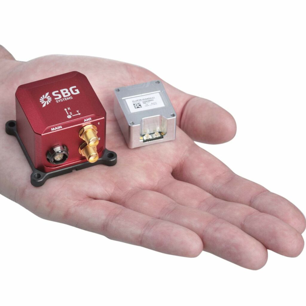
Ellipse-D Dual Antenna GNSS/INS
Dual antenna survey-grade GNSS-INS with RTK in rugged enclosure for UAVs and unmanned systems
Dual antenna survey-grade GNSS-INS with RTK in rugged enclosure for UAVs and unmanned systems
...D is a compact Inertial Navigation System with integrated dual-antenna RTK GNSS receiver for...
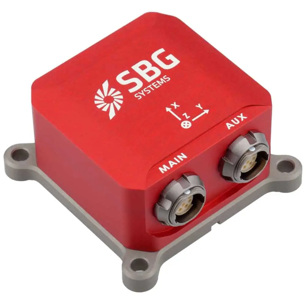
Ellipse-E Miniature Inertial Navigation System
Miniature INS with external GNSS receiver connectivity for UAVs and robotics
Miniature INS with external GNSS receiver connectivity for UAVs and robotics
...gh performance Inertial Navigation System. It provides Roll, Pitch, Heading, and Heave, and computes...

Single-antenna GNSS-INS in rugged compact package for drones and unmanned systems
Single-antenna GNSS-INS in rugged compact package for drones and unmanned systems
...erformance RTK Inertial Navigation System (INS) with integrated GNSS receiver. It provides Roll,...
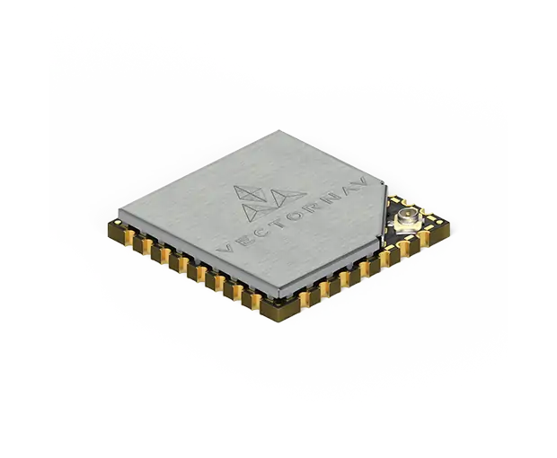
VN-200 SMD Surface Mount GPS/INS
Compact industrial-grade GPS-aided MEMS INS for drones and robotics, with SMD form factor
Compact industrial-grade GPS-aided MEMS INS for drones and robotics, with SMD form factor
...ance GPS-Aided Inertial Navigation System (GPS/INS) in a compact surface mount package for direct...
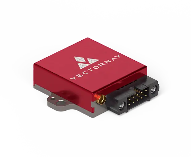
Compact industrial-grade MEMS GPS/INS for UAV/drones, packaged in machined aluminium enclosure
Compact industrial-grade MEMS GPS/INS for UAV/drones, packaged in machined aluminium enclosure
...ance GPS-Aided Inertial Navigation System (GPS/INS) in a plug-and-play enclosed package milled from...
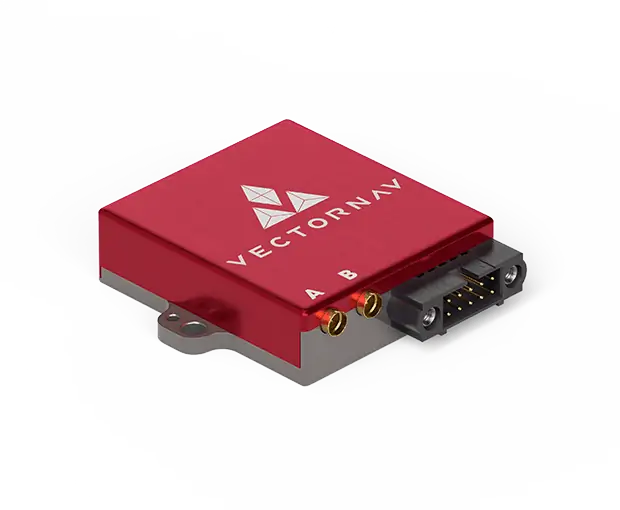
VN-300 Rugged Dual Antenna GNSS/INS
Dual antenna GNSS-aided Inertial Navigation System in protective machined aluminium enclosure
Dual antenna GNSS-aided Inertial Navigation System in protective machined aluminium enclosure
...NS (GNSS-Aided Inertial Navigation System) module for UAVs, drones and robotics, enclosed in a...
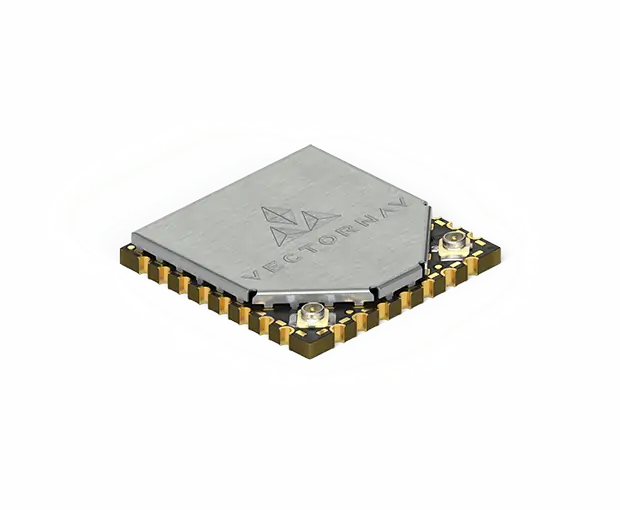
VN-300 SMD Surface Mount Dual Antenna GNSS/INS
Dual antenna GNSS-Aided Inertial Navigation System in single surface-mount package
Dual antenna GNSS-Aided Inertial Navigation System in single surface-mount package
...ade GNSS-Aided Inertial Navigation System (GNSS/INS) in a directly embeddable surface mount package...
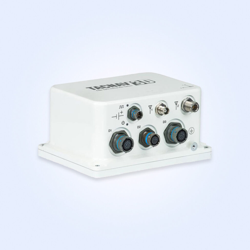
FOG-based tactical INS for 3D navigation in all terrains
FOG-based tactical INS for 3D navigation in all terrains
...based tactical inertial navigation system (INS) with embedded GNSS receiver that provides assured...
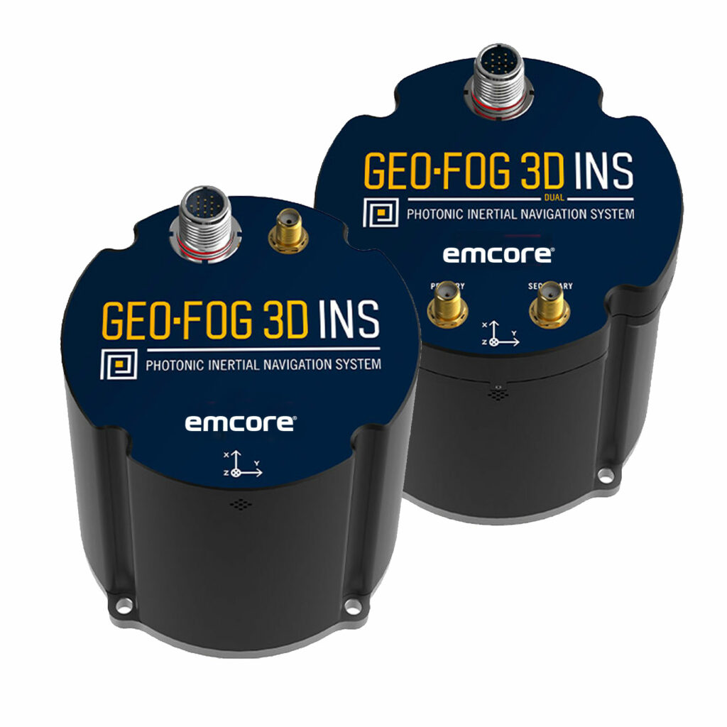
GEO-FOG 3D INS: Fiber Optic Gyro-based Inertial Navigation System
Rugged, Highly Accurate FOG-based INS and AHRS with Embedded GNSS
Rugged, Highly Accurate FOG-based INS and AHRS with Embedded GNSS
... GEO-FOG 3D™ inertial navigation system (INS) is a commercial off-the-shelf navigation and control... ...ture satellite navigation systems including GPS, GLONASS, GALILEO, and BeiDou. It also offers data...
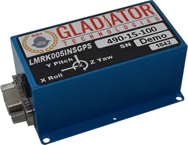
Rugged, Ultra Low Noise INS/GPS
Rugged, Ultra Low Noise INS/GPS
...rformance MEMS inertial suite, using state-of-the-art Kalman Filter algorithms to optimize inertial...
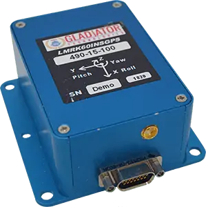
Rugged, Low Noise GPS-Aided INS
Rugged, Low Noise GPS-Aided INS
...light control, navigation, platform stabilization and other general unmanned aircraft requirements,...
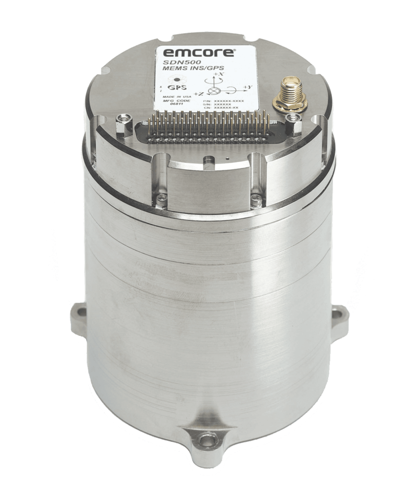
Tactical Grade Inertial Navigation System
Tactical Grade Inertial Navigation System
...tactical grade navigation system combines latest generation quartz gyros, quartz accelerometers,...
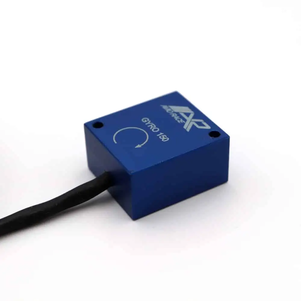
Inertial, Environmental & Position Sensors
Sensing & data acquisition solutions for drones and robotics
Sensing & data acquisition solutions for drones and robotics
AvioRace offers a broad portfolio of sensing solutions for drones and robotics, covering a wide rang...

Funding Awarded for Inertial Navigation for Autonomous Applications
ANELLO will develop and accelerate its mission to revolutionize navigation and positioning in GPS-denied environments across a range of unmanned and industrial applications
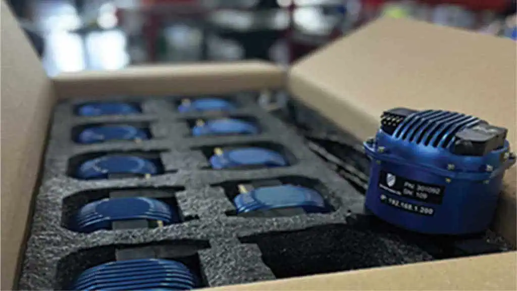
Contract Awarded for Inertial Navigation System with EOD Upgrade
Aiming to improve the capabilities of a military ROV, the U.S. Navy has contracted Greensea IQ with US$2.79M to supply its EOD Edge Upgrade-enhanced IQNS system
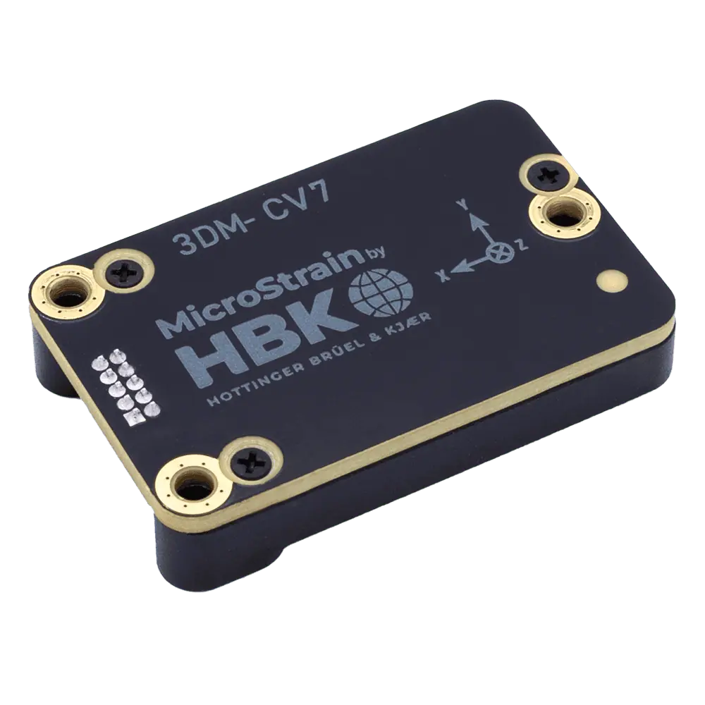
Comparing MIP & NMEA Aiding for MicroStrain 3DM-CV7-INS
MicroStrain, an HBK company, has evaluated NMEA and MIP GNSS data inputs for the 3DM-CV7-INS, comparing ease of integration with the precision of positioning data

Silicon Photonics Optical Gyroscope-Based Inertial Solutions for GPS-Denied Environments
ANELLO’s disruptive SiPhOG technology provides a smaller, lighter and more cost-effective alternative to traditional FOG sensors without sacrificing performance or quality
Radar & Enhancing Inertial Navigation Systems
MicroStrain by HBK discusses its 3DM-CV7-INS, an innovative inertial navigation system designed to integrate radar technology for enhanced performance during GNSS outages
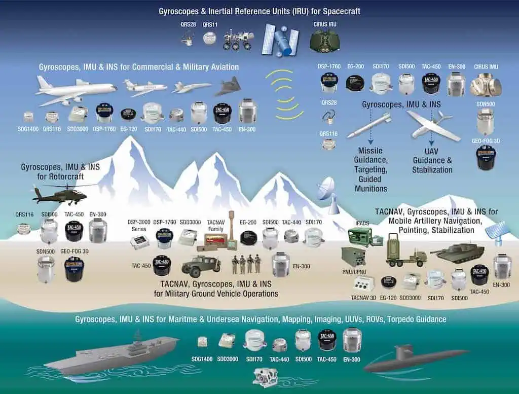
EMCORE will be displaying its impressive range of navigation and inertial sensing products at the AUSA 2024 conference in Washington DC from October 14th to 16th at Booth #4138
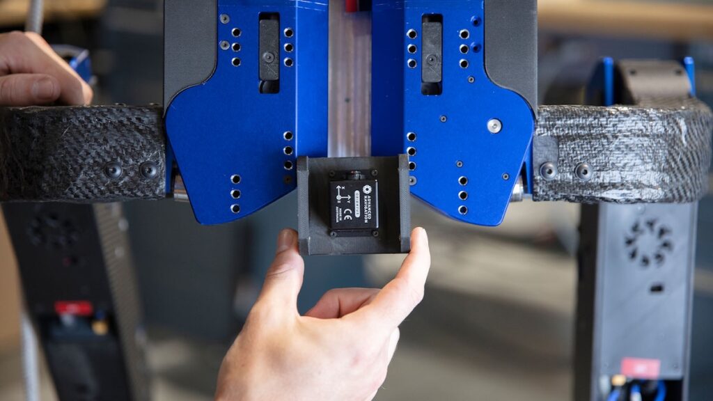
Advance Navigation Discusses INS Integration
Advanced Navigation explores how ease of integration is a critical factor when selecting inertial navigation systems for unmanned systems and autonomous applications

Advanced Navigation Solutions Displayed at ION GNSS+ 2024
Inertial Labs showcased its advanced navigation solutions at ION GNSS+ 2024, including the company’s GNSS Compass, RESEPI products, GNSS-aided INS, and more
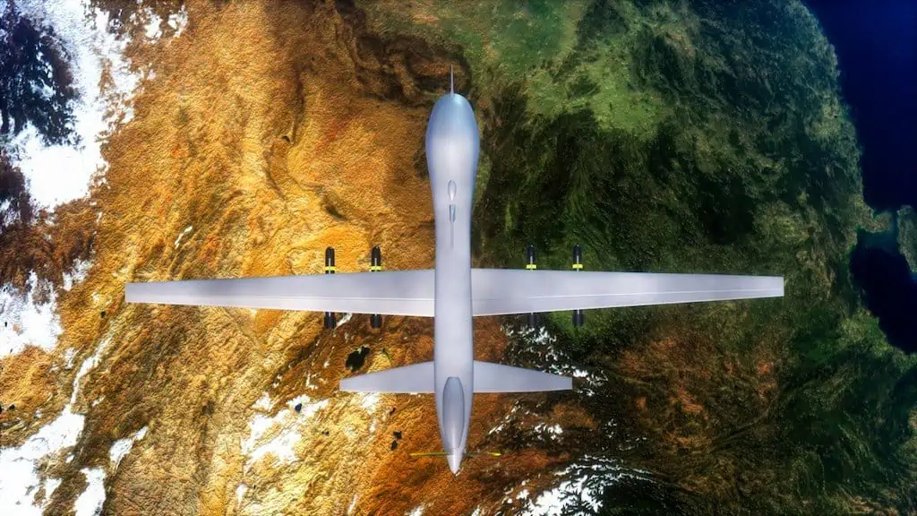
Inertial Navigation Systems & Elevating UAV Performance
Inertial Labs discusses the role of inertial navigation systems in aiding UAVs maintain accurate flight paths, stabilize in turbulence, and execute complex missions autonomously
High-Precision Position & Orientation Solutions for UAVs, Robotics & Autonomous Vehicles
Innovative Silicon Photonics Optical Gyroscope Technology and Navigation Solutions for GPS-Denied Environments
Electronic Components, Batteries & Sensors Supplier for OEM UAVs/Drones
Inertial Navigation & Positioning Technology for Unmanned, Autonomous Systems
AI-based Inertial Navigation Systems (MEMS and FOG), Acoustic Positioning Solutions
High Performance FOG, RLG, and Quartz MEMS Inertial Sensors - Gyros, IRU, IMU, INS
Inertial Sensors, MEMS IMU, AHRS Systems, Vertical Reference Units & GNSS-INS for Unmanned Systems
Inertial Navigation Sensors: MEMS IMU, Accelerometers, Gyroscopes, AHRS, GPS-INS & Point Cloud Generation
Inertial Navigation Systems, INS/GPS, AHRS, and IMU Sensors for Unmanned Systems
Platinum Partners
Gold Partners
Silver Partners


