National Forecast Maps (original) (raw)
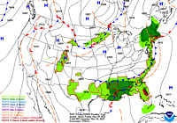
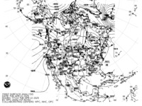
Surface Analysis
Highs, lows, fronts, troughs, outflow boundaries, squall lines, drylines for much of North America, the Western Atlantic and Eastern Pacific oceans, and the Gulf of Mexico.
Standard Size | High Resolution
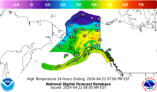
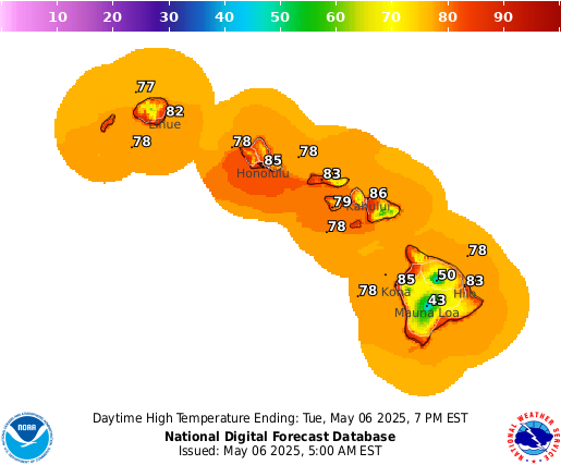
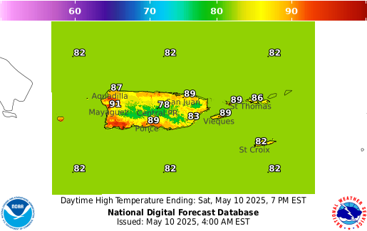
Temperature
Maximum daytime or minimum overnight temperature in degrees Fahrenheit.
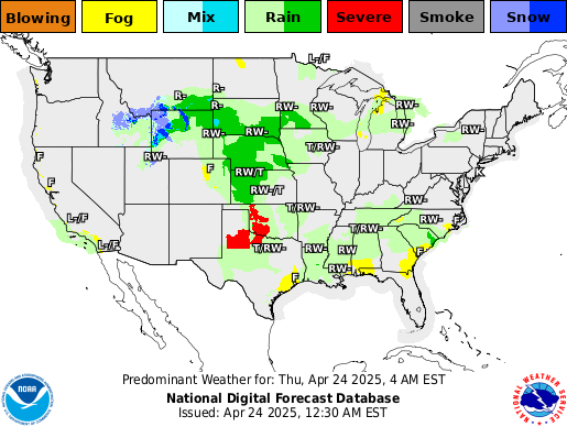
Predominant Weather
Expected weather (precipitating or non-precipitating) valid at the indicated hour. The weather element includes type, probability, and intensity information.
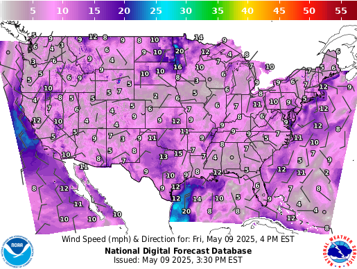
Wind Speed and Direction
Sustained wind speed (in knots) and expected wind direction (using 36 points of a compass) forecasts.
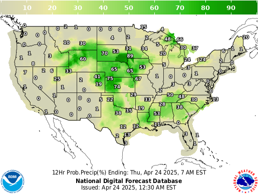
Chance of Precipitation
Likelihood, expressed as a percent, of a measurable precipitation event (1/100th of an inch).
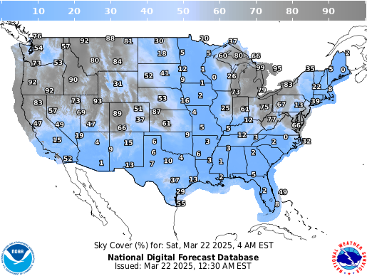
Sky Cover
Expected amount of opaque clouds (in percent) covering the sky.
