Liechtenstein Maps & Facts (original) (raw)
Liechtenstein covers a total area of 160 sq. km (62 sq mi) in Central Europe. It is a doubly landlocked country as it is surrounded by all landlocked countries. It is very small in size, barely the size of Washington DC, in the United States.
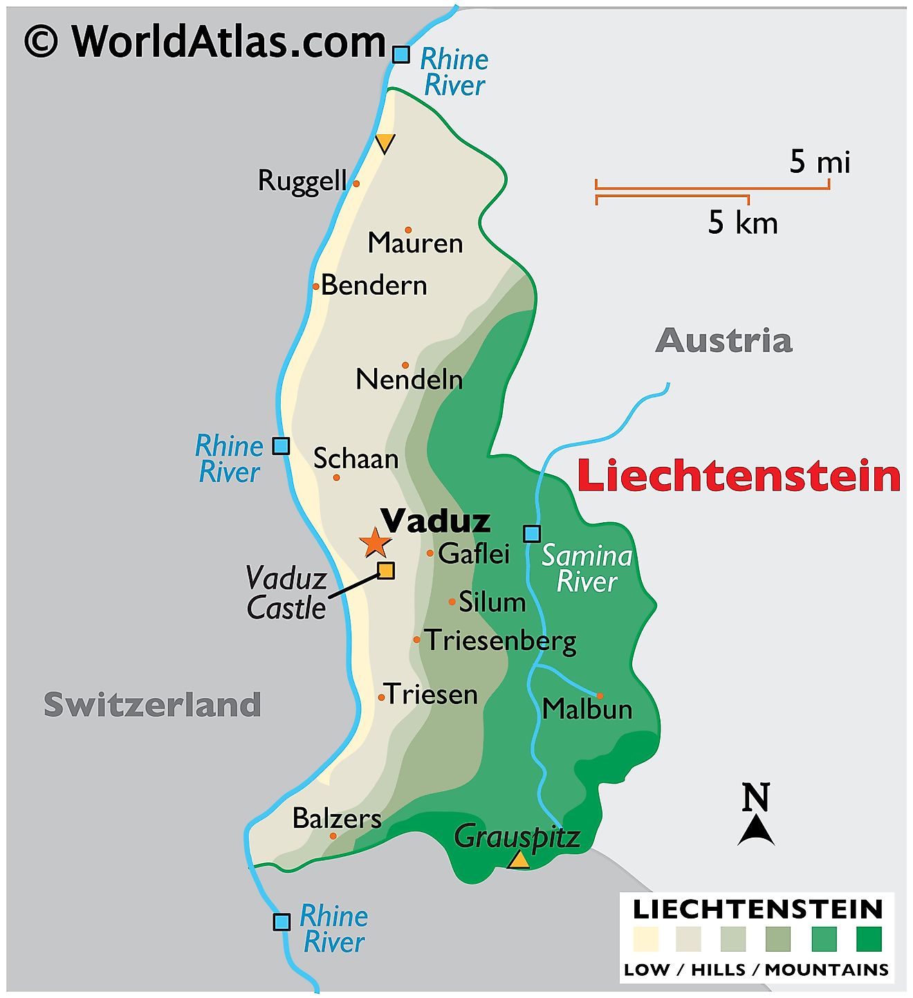
As observed on the physical map of Lichtenstein, the Alpine mountains cover the eastern half of the country. The western part is dominated by the Rhine River valley.
Liechtenstein's highest point is Vorder Grauspitz, which reaches 8,526 feet (2,599 m). The lowest point in the country is Bangserfeld (429 m), Ruggell. Both these extreme points have been marked on the map above by triangles (upright and inverted).
Liechtenstein has only one lake - Gampriner Seele. The Rhine and Samina are two major rivers flowing through the country.
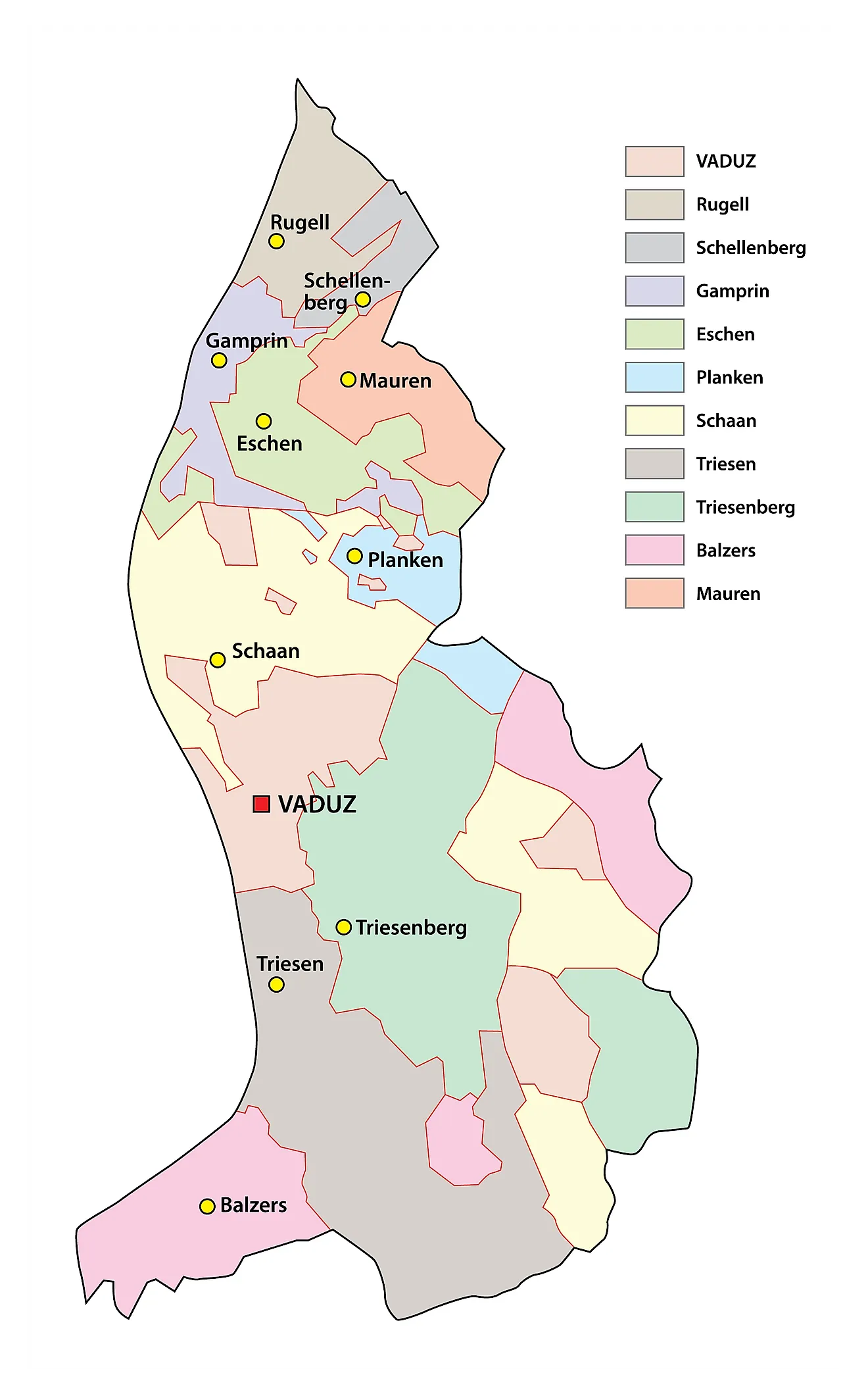
Communes of Liechtenstein Map
Liechtenstein (officially, the Principality of Liechtenstein) is divided into 11 communes or municipalities (Gemeinden, sing. Gemeinde) In alphabetical order, these communes are: Balzers, Eschen, Gamprin, Mauren, Planken, Ruggell, Schaan, Schellenberg, Triesen, Triesenberg and Vaduz.
With an area of 160 sq. km, Liechtenstein is the 4th smallest country in Europe and the 6th smallest country in the world. Located along the Rhine River, Vaduz is the national capital of Liechtenstein. Situated in the central part of the country, to the north of Vaduz is Schaan – the largest municipality of Liechtenstein. Schaan is also the most populous municipality and the country’s chief administrative, business and industrial hub.
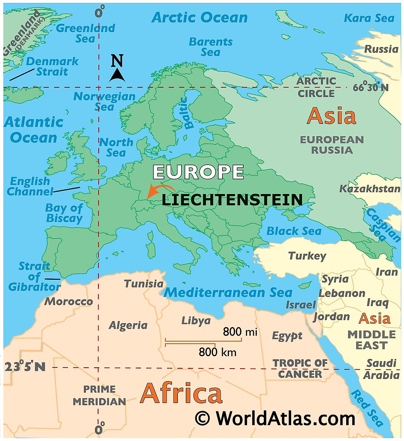
Where is Liechtenstein?
Liechtenstein is a small, alpine and ‘doubly landlocked’ country, situated on the banks of the Rhine River in Central Europe. It is positioned both in the Northern and Eastern hemispheres of the Earth. Liechtenstein is located in the heart of the Alps and is bordered by Austria in the north and east; and by Switzerland in the south and west.
Liechtenstein Bordering Countries:Switzerland, Austria.
Regional Maps: Map of Europe
Outline Map of Liechtenstein
Key Facts
| Legal Name | Principality of Liechtenstein |
|---|---|
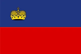
| Flag |  |
| Capital City | Vaduz |
| 47 08 N, 9 31 E | |
| Total Area | 160.00 km2 |
| Land Area | 160.00 km2 |
| Water Area | N/A |
| Population | 38,019 |
| Currency | Swiss francs (CHF) |
| GDP | $6.55 Billion |
| GDP Per Capita | $173,356.05 |
This page was last updated on February 24, 2021


