The Andes Web Ring (original) (raw)
Ancient Monuments in Google Earth
Spanning the globe, more than 15,000 placemarks of ancient monuments and anthropogenic features visible in satellite imagery, includes most of the 5,000+ monuments with coordinates in my Excel applet. The current version no longer embeds the 5,000 Panoramio photos I selected for archaeological value. Open the files in Google Earth and click the placemarks to display informational balloons and zoom in on sites.
Download - 3.7 MB Google Earth file: archaeogeodesy.kml
Andes Archaeogeodesy Articles and KML Files
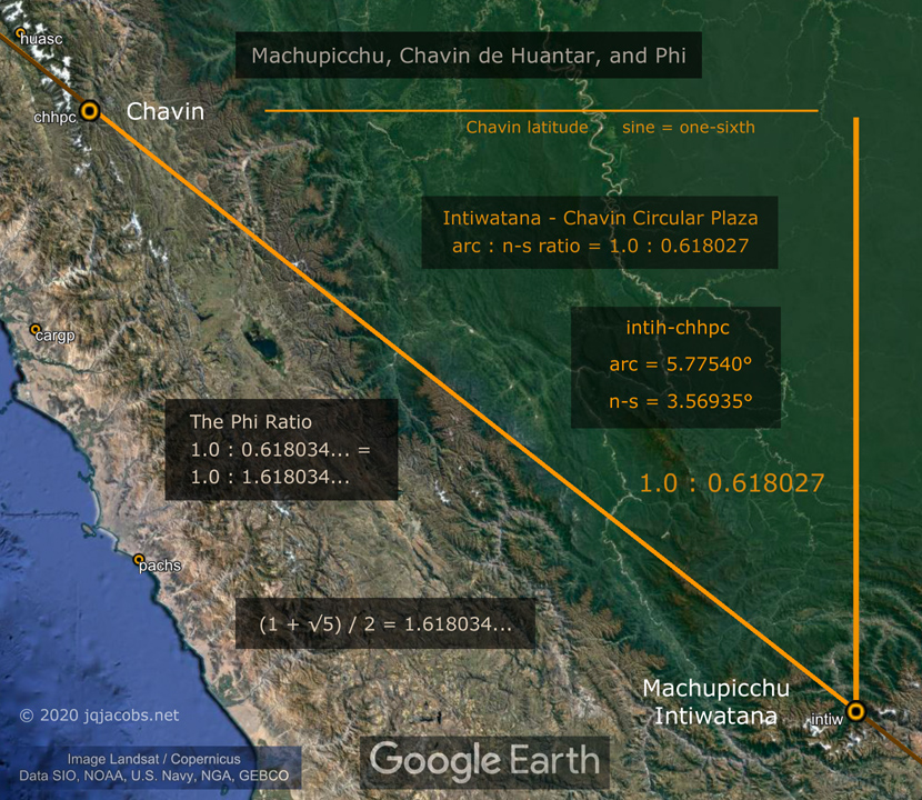
- 2021-01-20 — Machupicchu Archaeogeodesy — machupicchu.kml
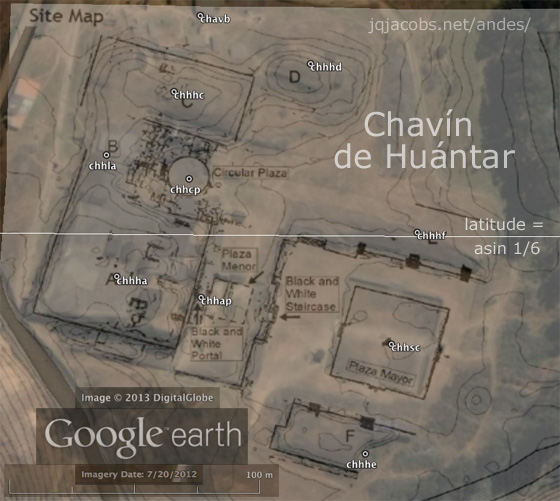
- 2018-10-20 — Chavin de Huantar Archaeogeodesy — chavin.kml
- 2017-10-21 — Casma-Sechin Archaeogeodesy — <sechin.kml>

Hundreds of Geoglyphs Discovered in the Amazon
Placemarks file with 500 geoglyphs in Brazil, Peru, and Bolivia.

Space Archaeology in the Amazon, Beni, Bolivia - 734 KB KML file.

Google Earth placemarks file: jqjacobs.net/andes/machu_picchu_phi.kml

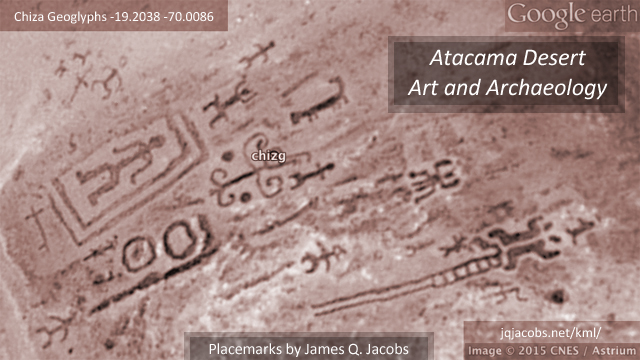
Atacama Desert Art and Archaeology - placemarks of geoglyphs and more - atacama.kml


